
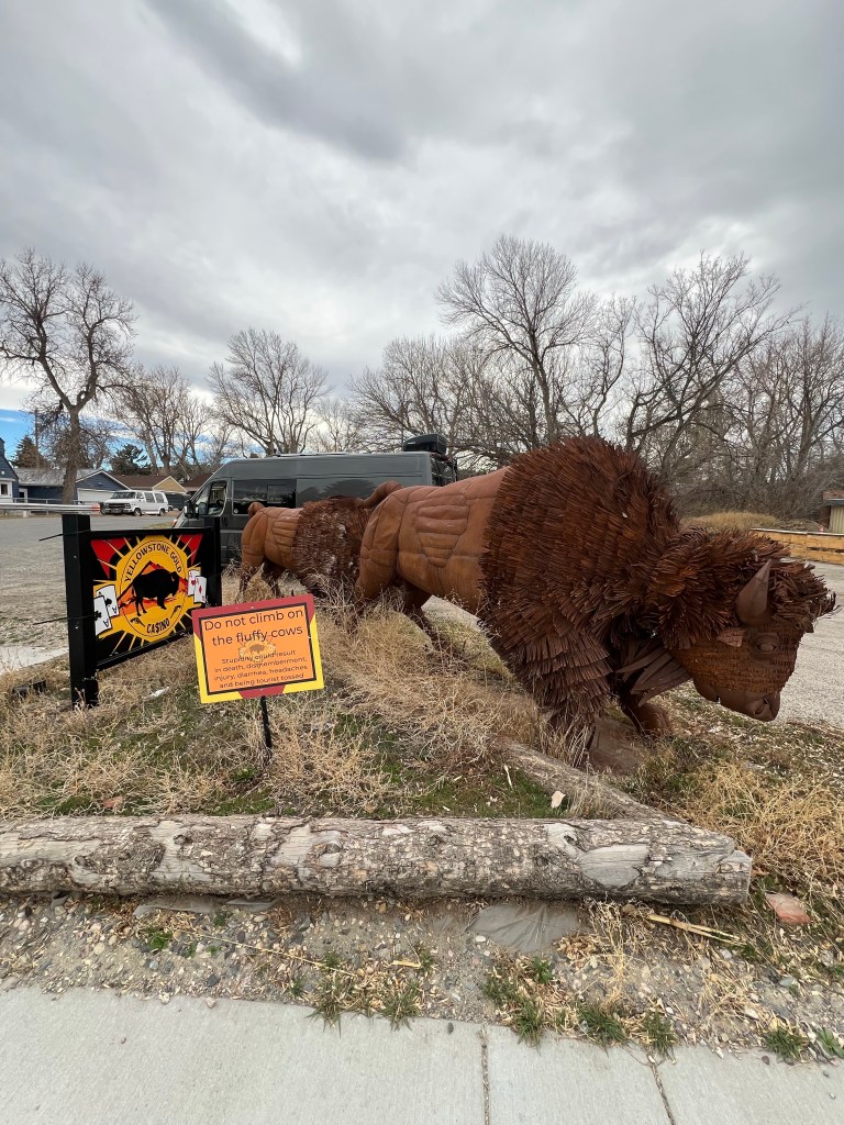
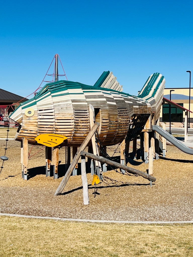
Have van will travel
The next adventure… proposal and reality. When I last wrote we were on a winter of ski adventure. As you all know the western US has had a historically dismal ski year. Aside from an epic storm or two the overall temperatures in the Rockies, Utah and California have been abnormally warm and snowstorms few and far between! We had hoped by March the storms would arrive and we’d be van trippin’ to ski in Utah and either Colorado or California. The forecast for the last 3 weeks of March- early April show unprecedented heat dome and little-little to no snow. The highs are well above 50 at every ski area!
So we decided to pivot and head to Utah with bicycles. Our plan is to travel south into Utah and take some daily bicycle rides from the Vincent Van-Go and visit various National Parks along the way.
We also brought skis and gear… just in case it decides to snow upon our return north. Maybe we can squeeze out a Snowbird, Brighton or Solitude day or two. As I am writing this ski areas are closing this weekend or next weekend (end of March). We will be truly lucky to ski in April… even in our home ski area of Big Sky.
Anyway… that’s the plan we’ve made and we’re going to enjoy these three weeks of cycling and sightseeing with our van.
WEEK ONE
Southbound… ready to explore
DAY 1
3/19/2026 Thursday
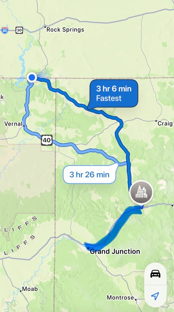
447 Miles. Billings MT to Flaming Gorge east UT
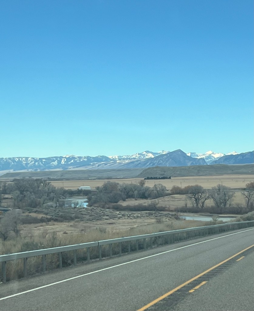
We headed south of Billings on a beautiful morning. We passed through Bridger MT which is on the east side of the Beartooth mountains. The mountains were showing off nicely this morning.
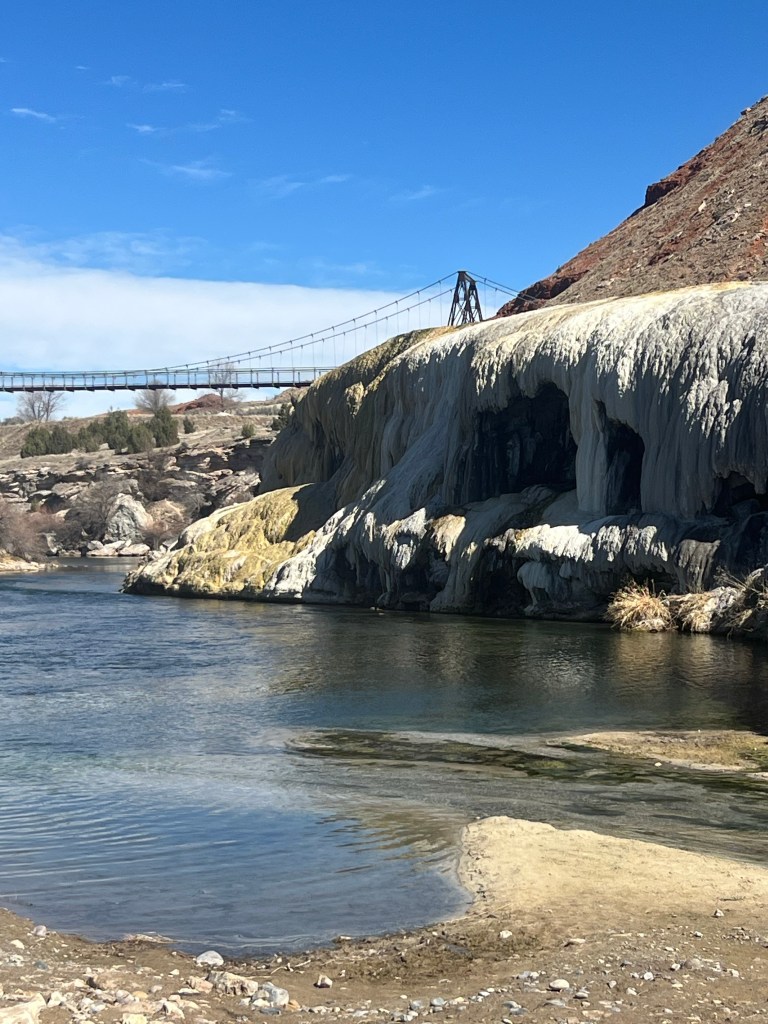
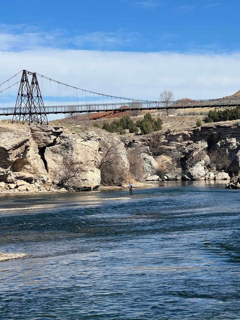
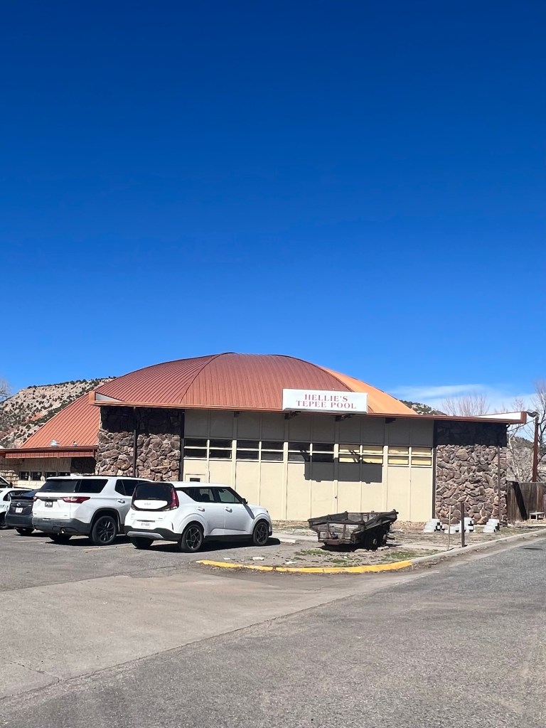
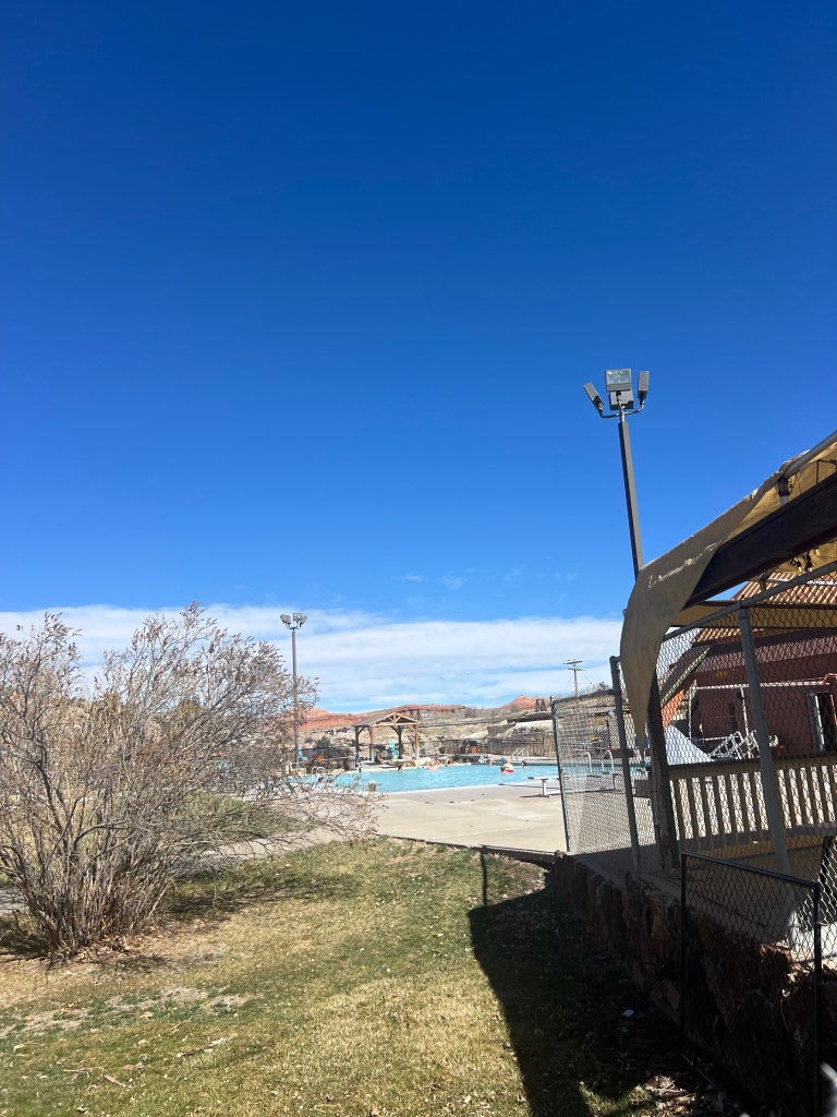
We entered Wyoming and the first town is Cody. No reason to stop here so we continued south to Thermopolis, Thermop is famous for its state park with hot springs. Years ago we used to bring our kids here with friends in mid April to swim and enjoy the usually warmer weather and warm water. Not as warm as today was! We went to the park and had a picnic lunch and the temp at noon was already 80!
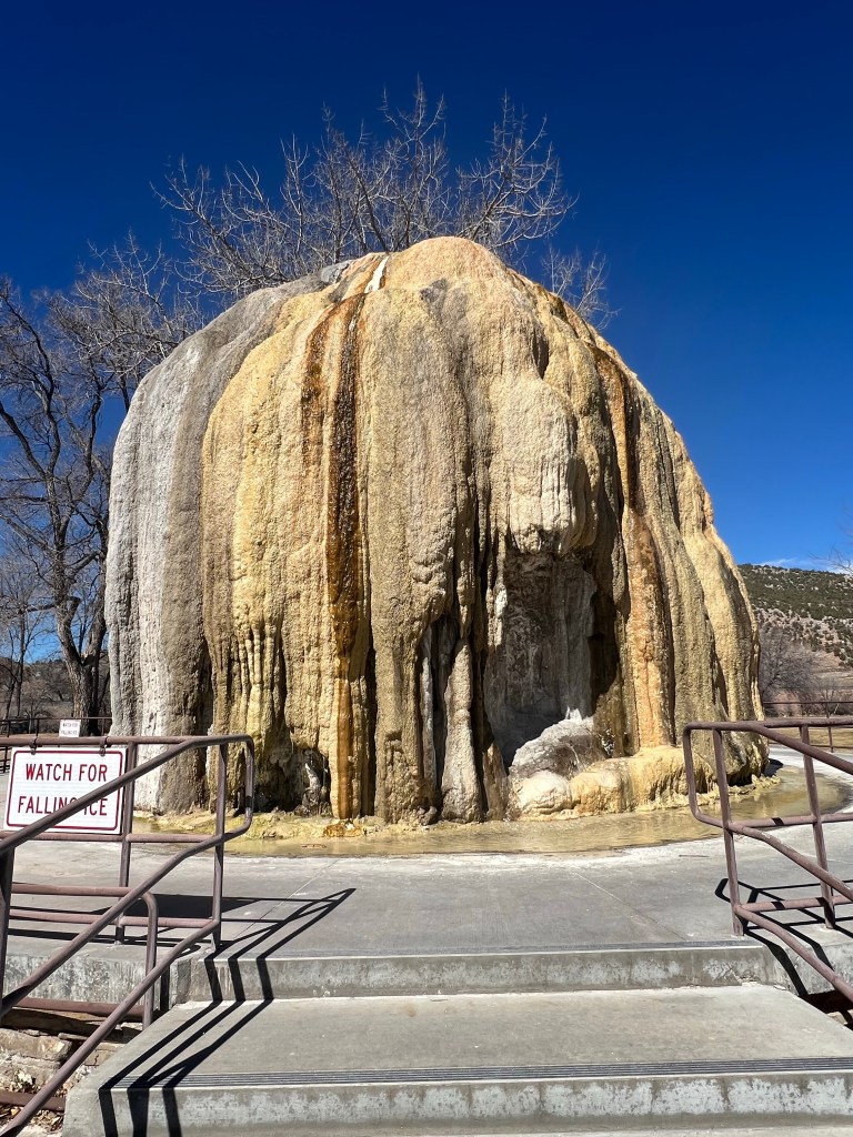
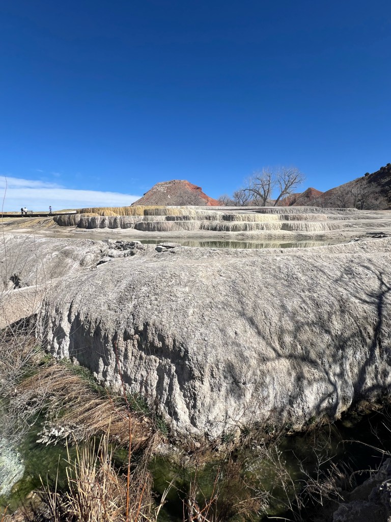
Last day of winter

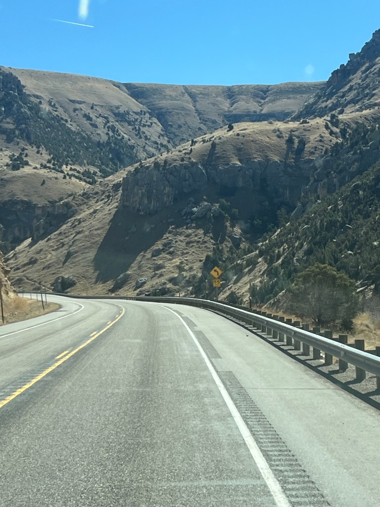
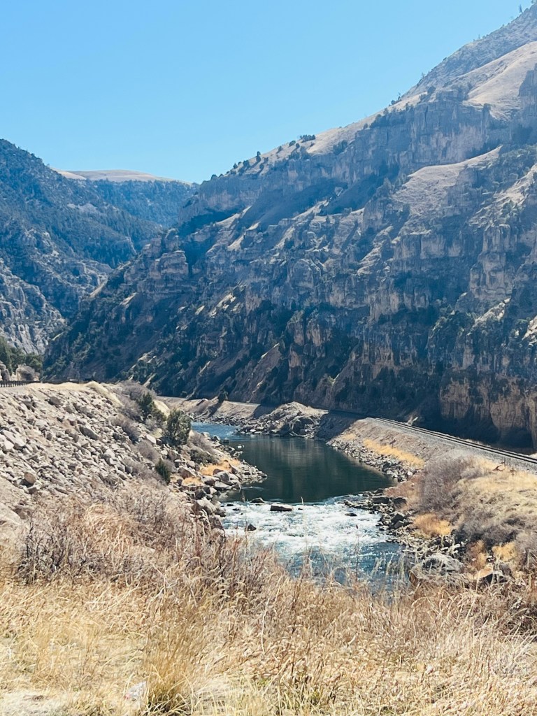
Heading south from Thermopolis you immediately enter the beautiful Wind River Canyon. It’s interesting how the Wind River becomes the Bighorn River at the mouth of the canyon. They call it The Wedding of the Waters. I’ve learned that explorers from the north toward the Yellowstone called it Bighorn due to the Bighorn sheep. For years it was well known by this name. Likewise explorers from the south and the headwaters already were calling it Wind River. It was decided to keep both names but change it at the end of the Canyon.
It is pronounced Wind (like the blowing air Wyoming is known for)
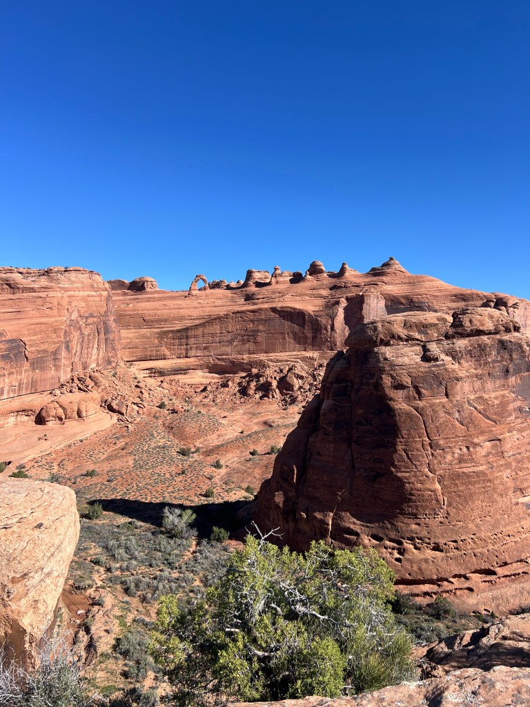
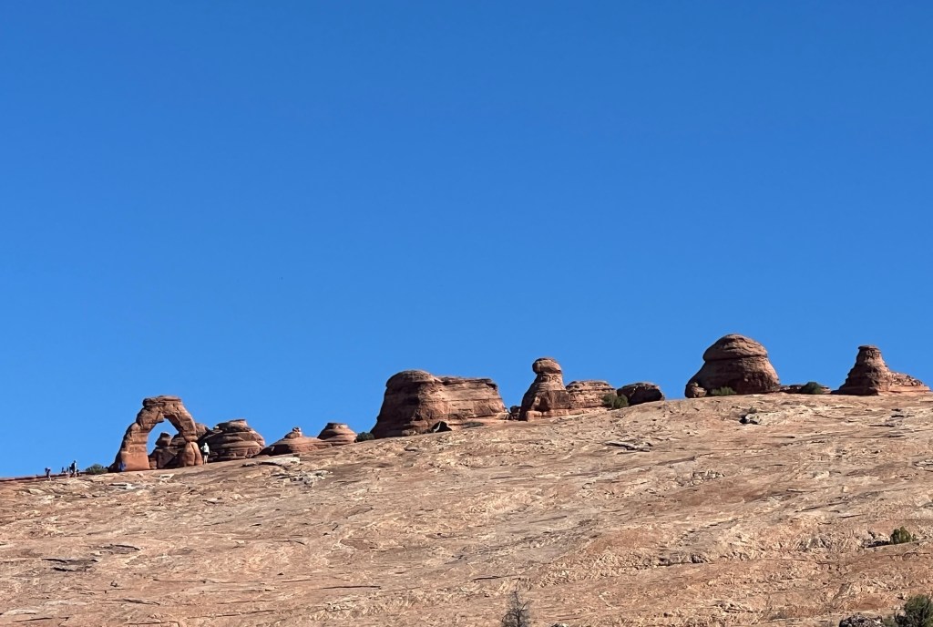
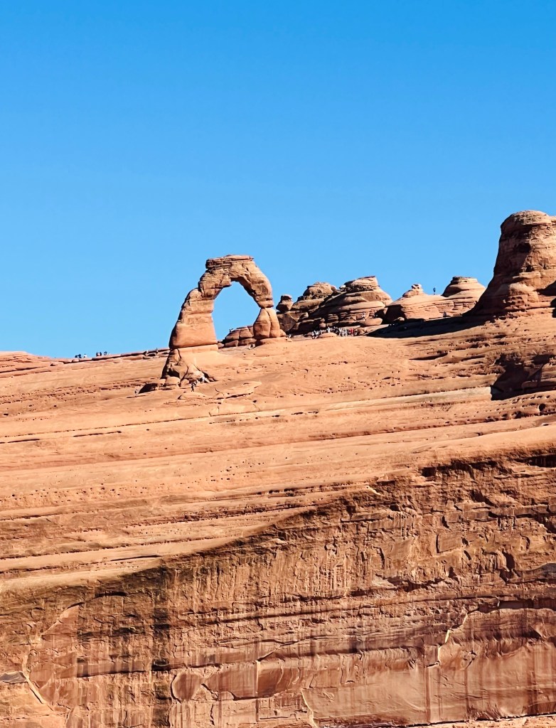
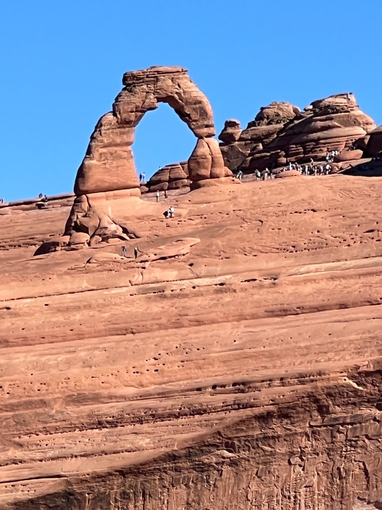
One place, Delicate Arch, was so busy the parking lot was full. We drove a bit further to the next lot with a shorter hike. It was a short hike to a great view of Delicate Arch. You could see the other hikers at the actual arch.
After you climb up out of the canyon you follow a big reservoir (Boyson) and you are hit by the extreme winds in this area. The views of the mountain ranges to the west are beautiful. The biggest range is also called the Wind River Mountains and the coolest little mountain town of Lander is at the south end of the range. From Lander you drive up and over South Pass. There was a warning of high winds today and it was closed to campers. We are not a towed camper so up and over South Pass we went. It’s famous as the route over the Continental Divide and the Oregon Trail. Small almost ghost town of Atlantic City is near the summit.
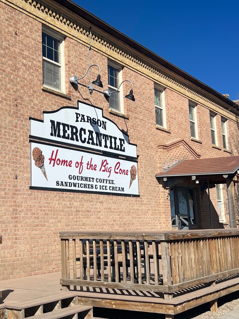
On the west side of South Pass you come to a junction and the tiny burg of Farson. There’s not much in Farson besides a school, baseball field and a big brick building that has a little food. But it’s famous for its big ice cream cones. Yes… we stopped for a cone!
If you travel north you drive to Pinedale and Jackson and the Teton Mountains. South will take you to Rock Springs.
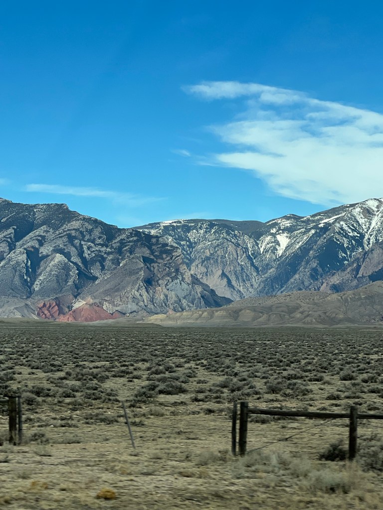
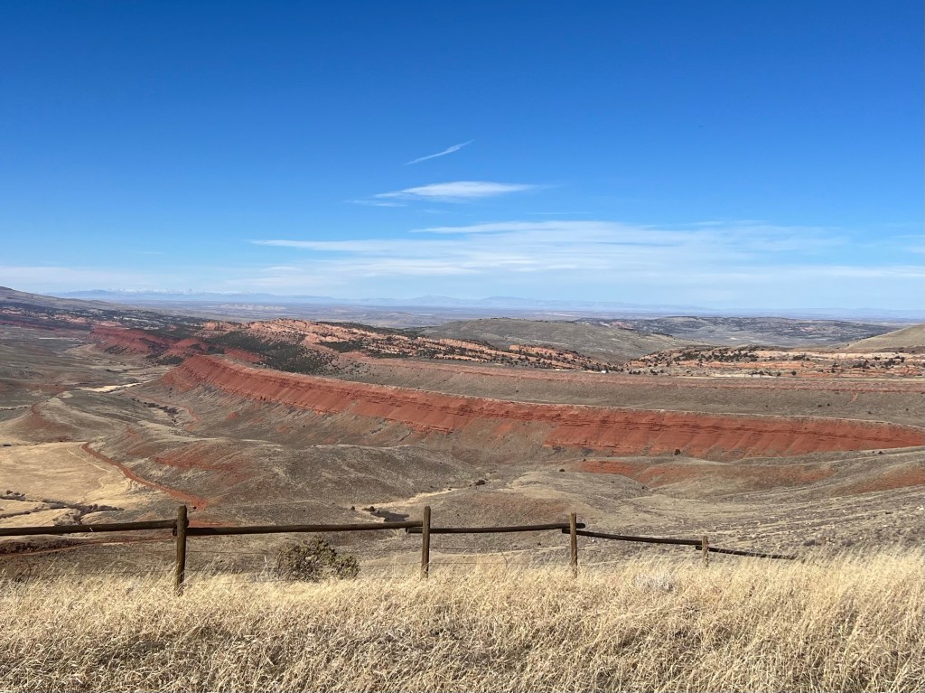
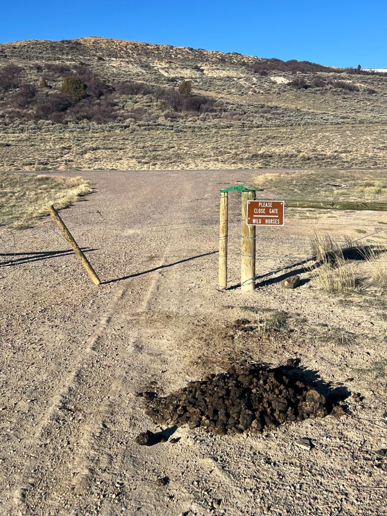
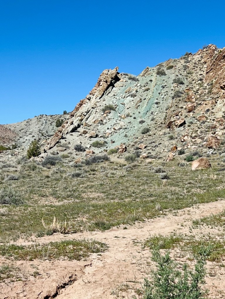
Travelling south to Rock Springs where we meet I 80. We had to travel a short way on the interstate before exiting south again toward the Flaming Gorge National Recreation area. It starts in Wyoming and eventually in Utah as well. We traveled on the east road through the gorge. By this time it was approaching 6pm so we were looking for a camp spot along the way. We found a really beautiful wild camping location that had an overlook into the Red Creek Badlands Wilderness study area. I should tell you the wind was relentless all evening. We parked so we could see the overlook and be on the leeward side. But it was not comfortable going outside. Finally about 10pm it subsided. We slept great and it was a starry starry dark night. Perfect!
Seeing some new country…
DAY 2
3/20/2026 Friday
First Day of Spring
Flaming Gorge NRA campsite to Fruita CO
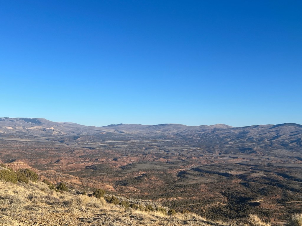
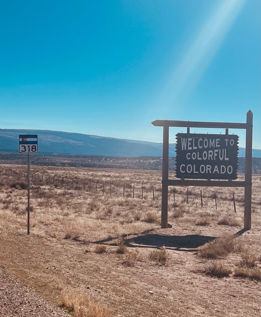
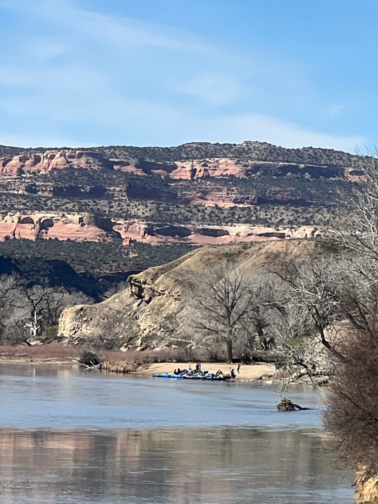
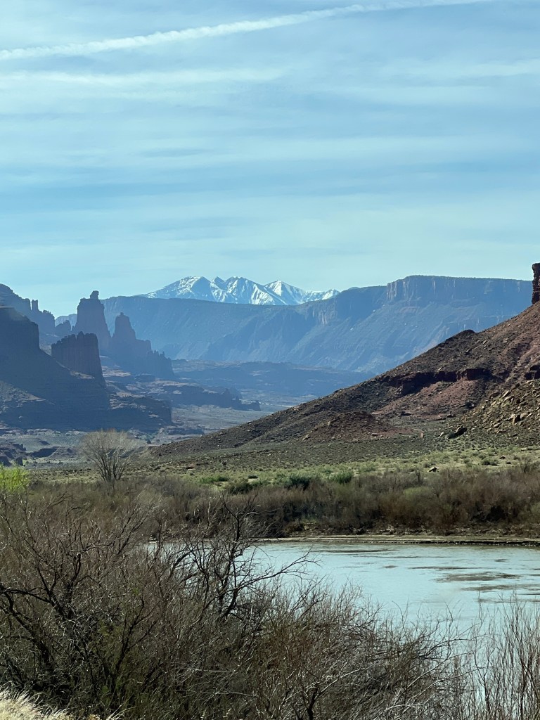
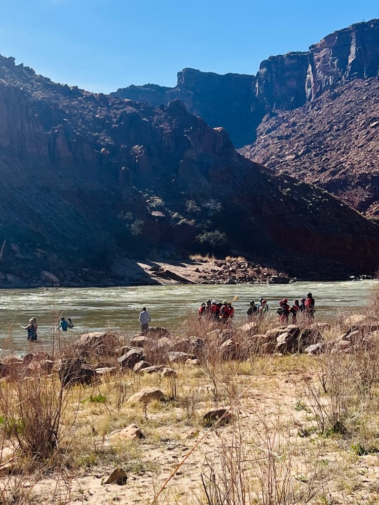
We took a backroad route through the three corners of WY UT CO. It was mostly BLM land and oil and gas wells and a pipeline route. Gravel road in Wyoming for just a couple of miles. Then we entered Utah and the road was paved. Same kind of BLM country until we came through a canyon and dropped down to the Green River. Just a few farms as we followed the Green River until it turned south to the rafting famous Gates of Lodore entry. We did see a few rafts either coming or going. I’ve always wondered where the put in was for that rafting trip.
On these backroads the cars are few and far between and you get the “the country wave”. One hand or maybe a few fingers off the steering wheel.
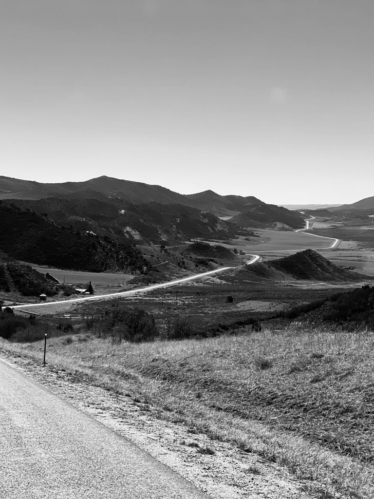
After we left the Green River valley we went up and over another ridge into the Yampa River valley. We quickly crossed that drainage and began heading south towards Meeker. In Meeker you follow the White River.
From Meeker it was south to Rifle. We wanted to stop in Rifle and check out the Home of DM Vans where our van was built. It was a pretty quick trip. None of the people we worked with were working Friday.
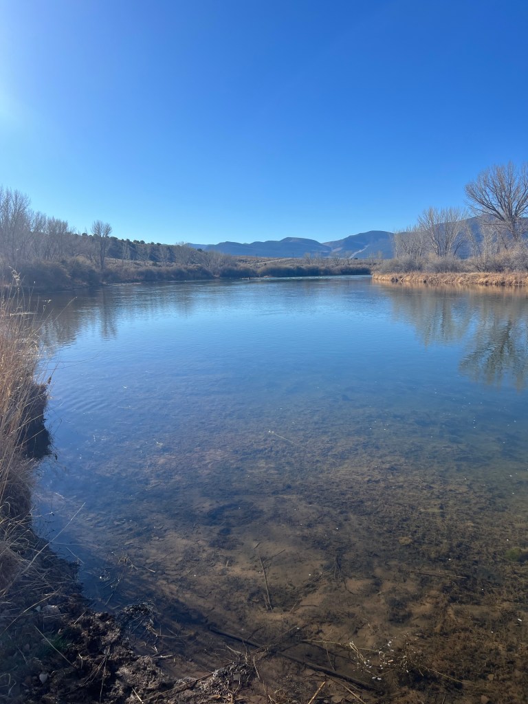
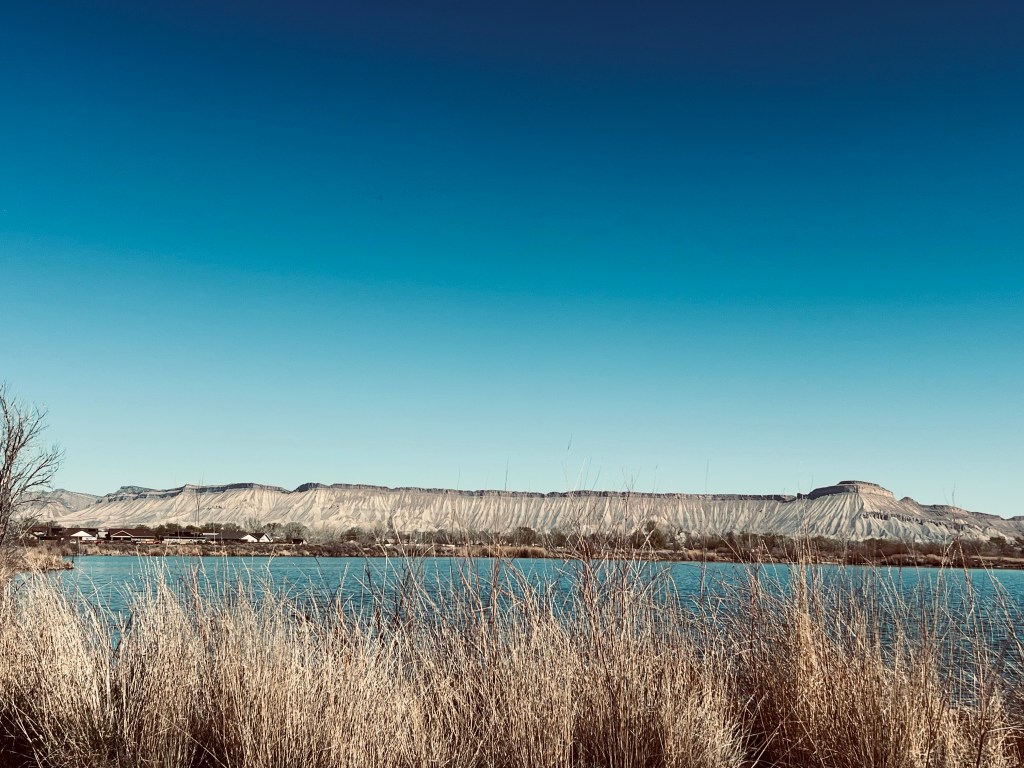
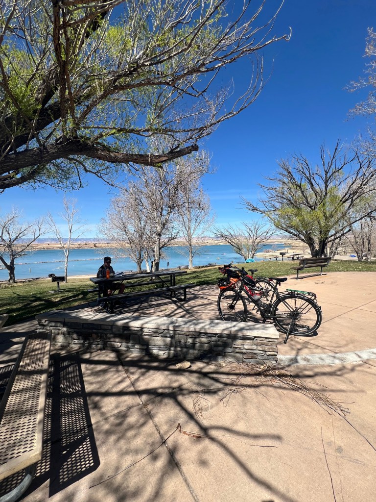
From there it’s about one hour on the I70 to Grand Junction. We stopped at a nice park on the Colorado River to figure out where we should camp for the night. We planned to spend a couple of days to get some warmup rides. It’s going to be a hot weekend and we haven’t ridden in 2026 yet so we’re looking for something simple and short.
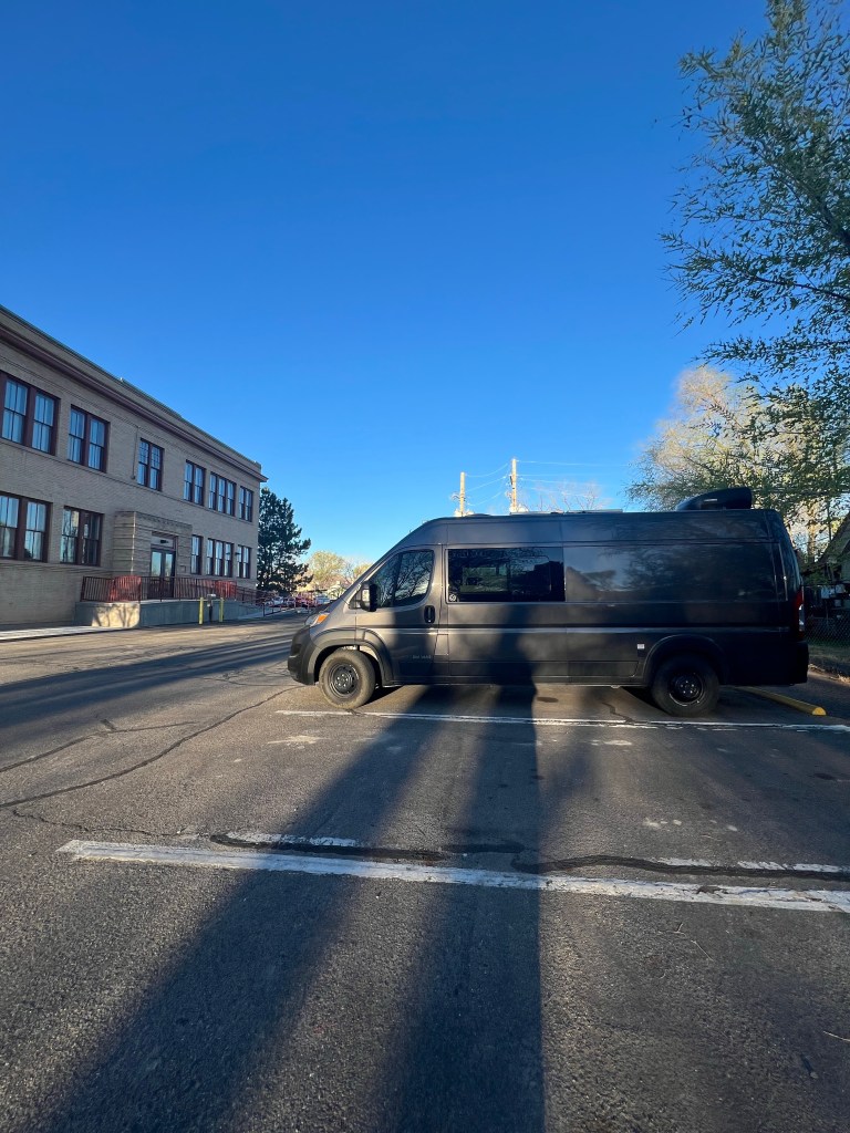
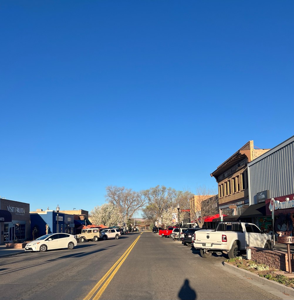
We decided to head the 11 miles west to Fruita. There’s a big parking lot at their Civic Center that allows overnight parking. Perfect for us tonight.
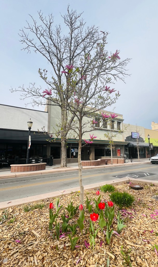
Fruita is a nice little former farming community that has blossomed into a mountain biking community. They have so many trails nearby. Some you can bicycle to that overlook the Colorado River.
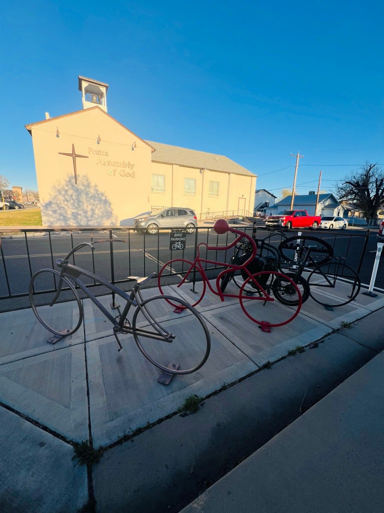
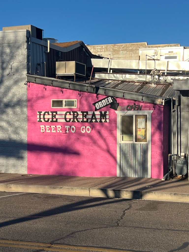
It’s a tiny Main Street that is thriving with restaurants, breweries, ice cream, bicycle shops, coffee shops and outdoorsy mostly bicycle people! It is Spring Break and the campgrounds are full, it’s warm and people are playing.
We found a brewery to have a hamburger and a beer before heading to our overnight parking place.
Good day! It’s nice to be in Colorado… feels good. We are excited to take a bicycle ride tomorrow after two days of driving.
WE RIDE! First ride of 2026
DAY 3
3/21/26 Saturday
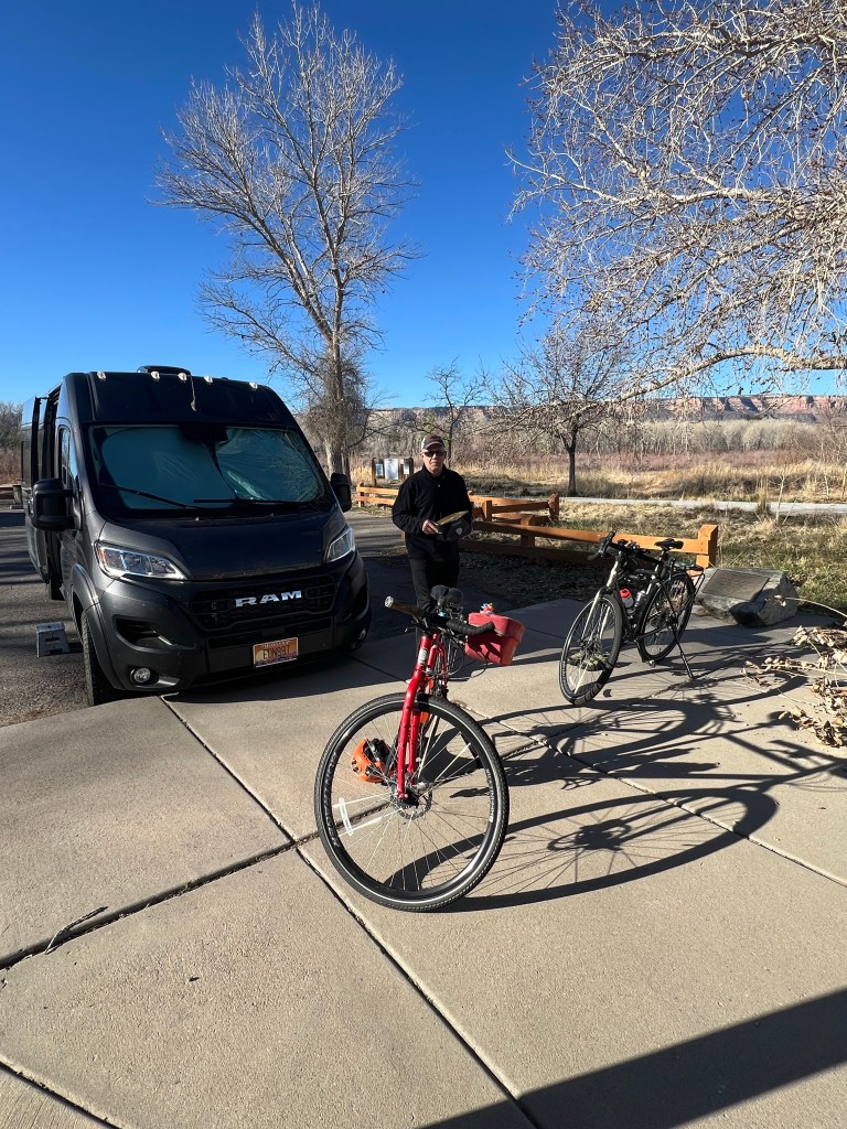
23 miles. No stats. Warm up ride
A little glimpse of Main Street Fruita on a Saturday morning. Pretty quiet around 7:30am as you would expect.
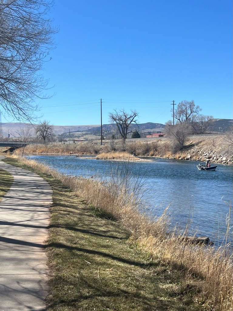
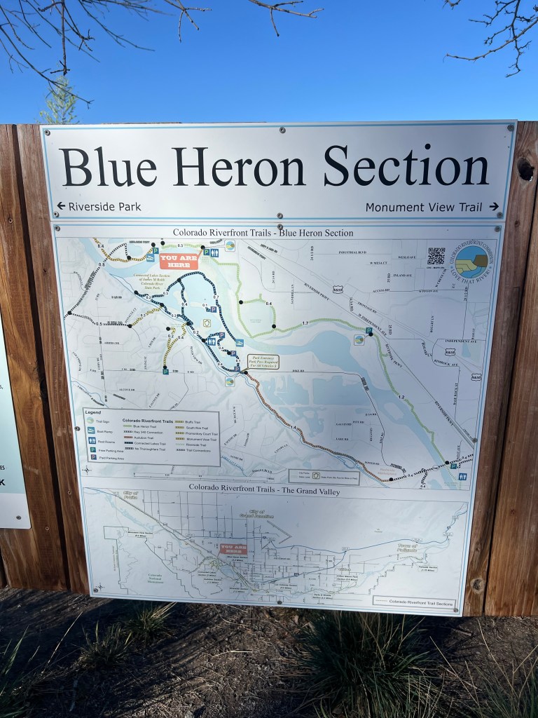
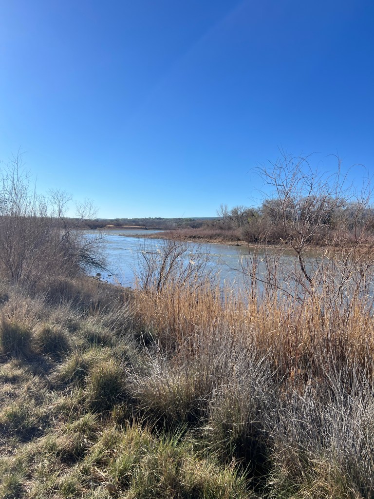
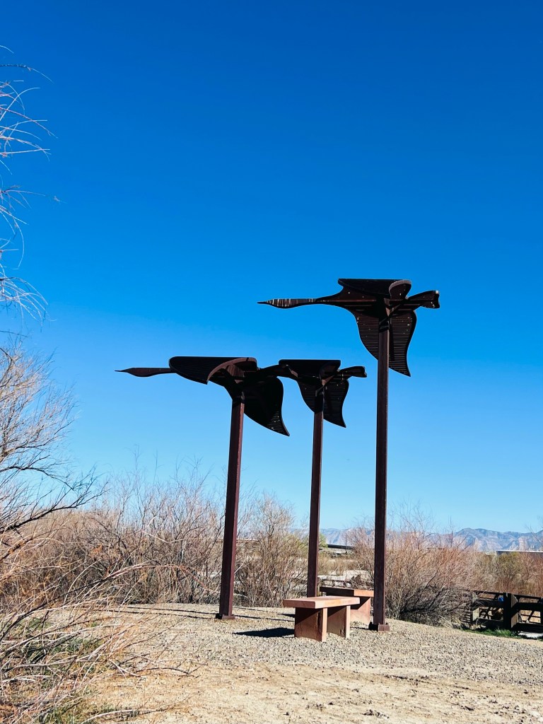
24 miles paved bicycle path in Grand Junction CO. It’s called the Riverfront Trail. Basically it follows the Colorado River from Palisades to Lima. We started upstream of Fruita on the Blue Heron section then headed east toward Grand Junction. The first stretch was through an industrial area but the trail was really nice and the river was pretty.
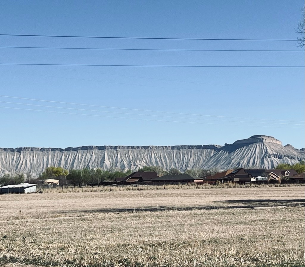
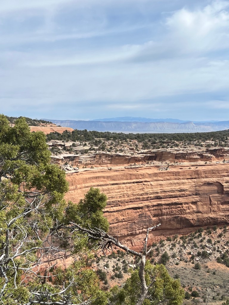
Book Cliffs

To the north of Grand Junction is a geological formation they call the Book Cliffs. They will continue all the way into Utah but right here they are very interesting and prominent. They are near the town of Palisades.
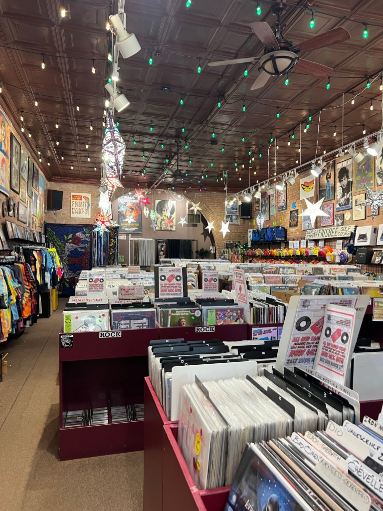
We headed east until the paved trail ended. Then we headed back with a detour to downtown Grand Junction. They have a thriving Main Street that they have narrowed to two-way traffic (one lane each) and added burned out sidewalks alternating from one side to the other for more public space and outdoor dining for restaurants. It’s very attractive and works very well for shopping.
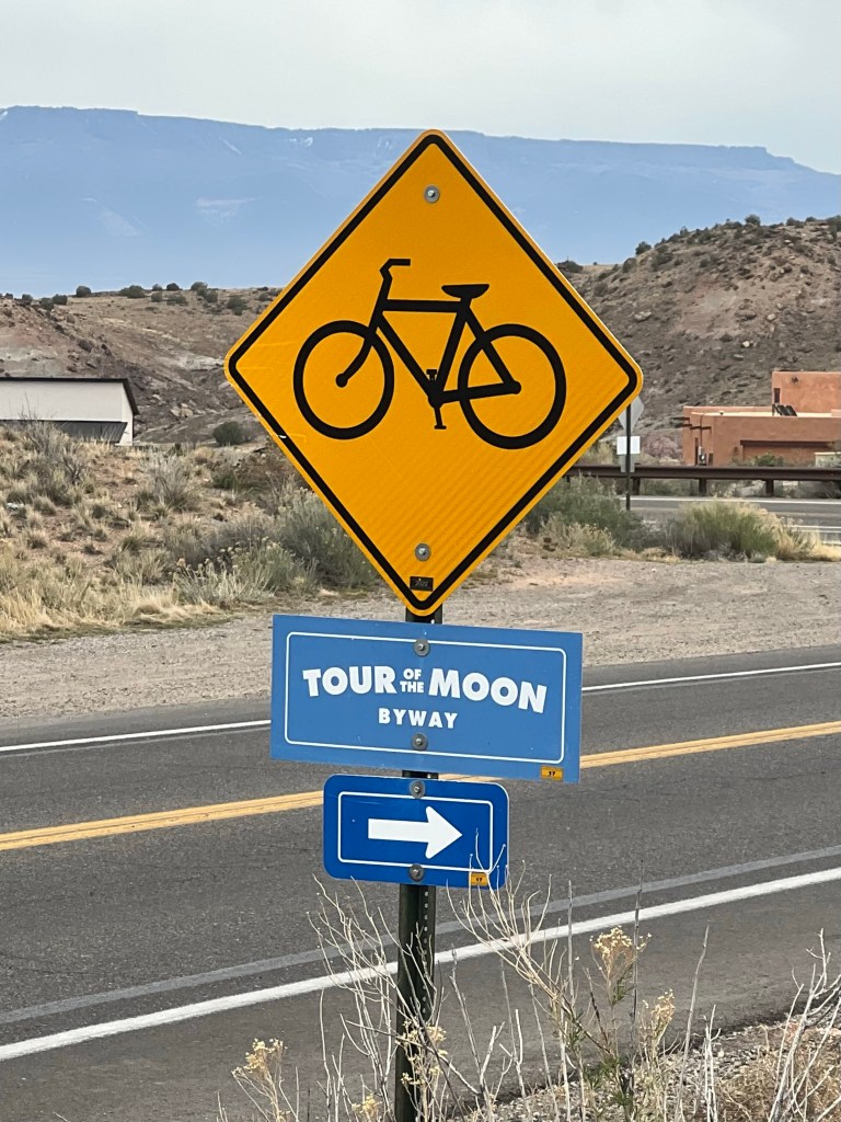
We couldn’t help but notice how many bike shops were downtown. I think we saw three. They were all very friendly. One shop gave up great advice for riding the Monument road. Suggested we don’t ride until Monday (far less busy) and go from east to west to start the loop.
Our favorite bike shop had a restaurant on one side and a combined bike and raft shop!
This was normal
We had a bagel sandwich lunch and headed back to Fruita. This time we are camping at James Robb State Park. We have two nights here. Nice little park on the river. Sites have lots of room and spacing. Always a bonus with showers and even laundry!
Tomorrow’s ride will be another easy ride in the Grand Valley this time headed a bit northwest.
Ride in the Grand Valley
DAY 4
3/22/26 Sunday
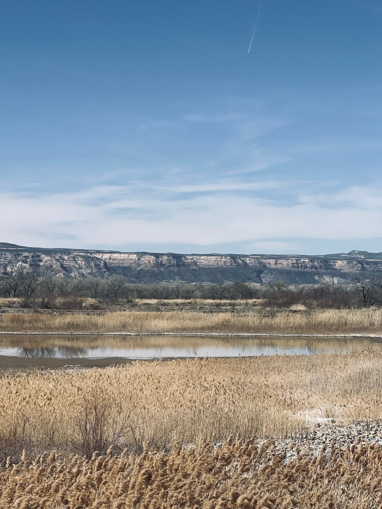
27 miles. Bike trail and farm roads
Fruita to Highline Lake State Park
We headed west from downtown Fruita to Loma where the trail ends. From this trail you can also access the nearby mountain bike trails called Kokapelli.
At the end of the trail there we headed north. The destination was a nice little state park with a small lake. Traveling in a staircase fashion along country roads. It was a quiet Sunday morning for traffic. Not busy at the park either. A few boats seem to be out testing there boats for the season. A few innertubes floating and SUP. There’s a campground there too. Not busy either. We had a little lunch in the park overlooking the beach area.
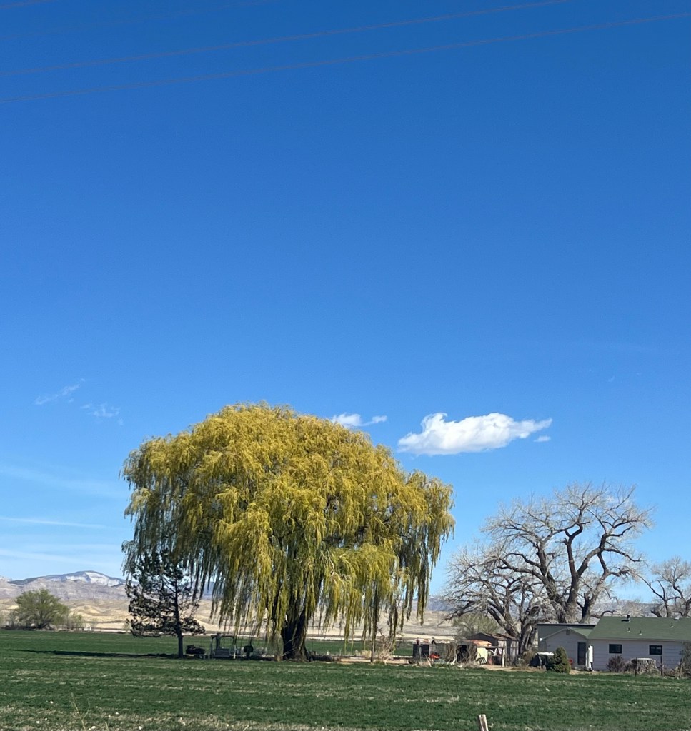
It was a pleasant easy ride where we could hear the first Meadowlark trill of spring. I loved seeing the fruit trees blossoming and the willows leafing out.
Thank you Walt!
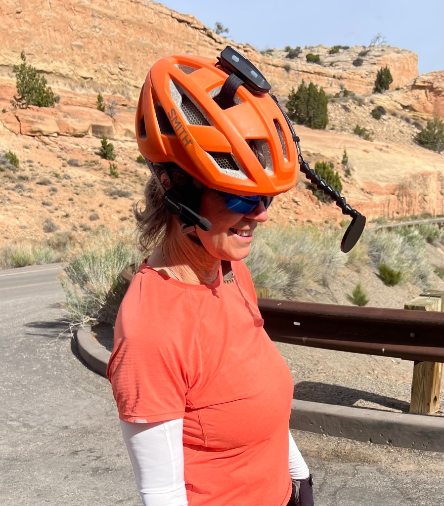
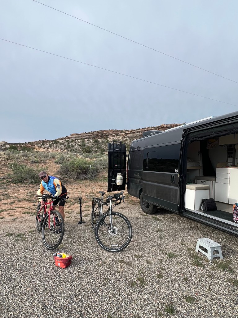
We took this easy ride opportunity to test out the communication headset that was gifted to us by our friend Walt. For whatever reason he wasn’t using them and when I mentioned in Michigan last fall that I’d seen a guy with them and thought that might be nice to have. We struggle to hear each other when riding single file…wind, deafness…you name it! Anyway, Walt offered them to us and we said Yes! It took a bit to figure them out but they worked perfectly today. You can get a bit of distance between each other and they still work well! Now we need to we find out how long the batteries last.
We camped tonight at James Robb State Park on the Colorado River right on the edge of Fruita. Just about every camper here has bicycles. Mostly mountain bikes because it’s the mecca for trails but there were several road bikes too!
Jim made us a good dinner tonight with rosemary buttered sliced steak, mashed potatoes and salad.
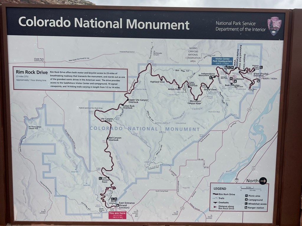
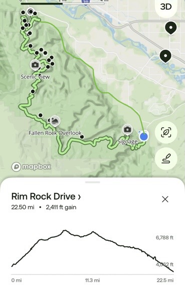
Tomorrow is our big day. We’re going to ride the Colorado Monument loop. It’s 23 miles in the Monument and then about 10 miles to return to the vehicle. As I said yesterday we’re riding east (Grand Jct) to west (Fruita). It’s a steep switchback climb up, rolling across the top and them longer gentler switchbacks down to Fruita.
I am concerned about not having the bicycle legs to crawl up the steep switches but tomorrow is cooler and that will help! I can do this!!
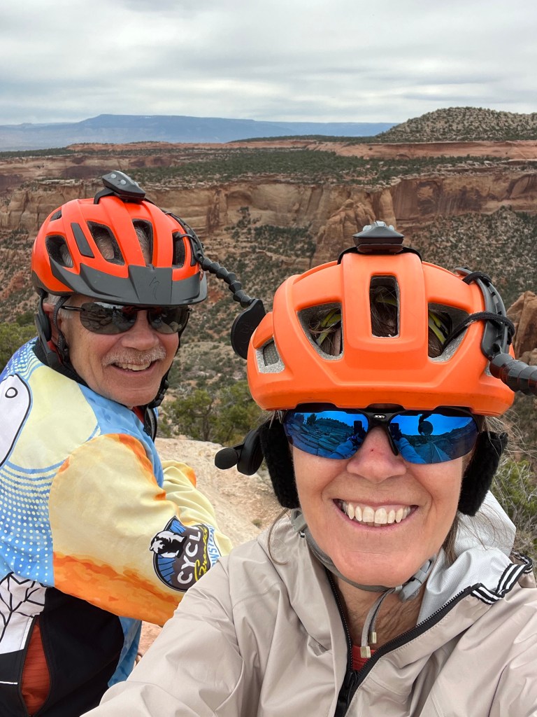
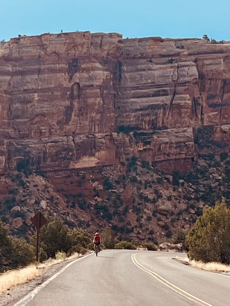
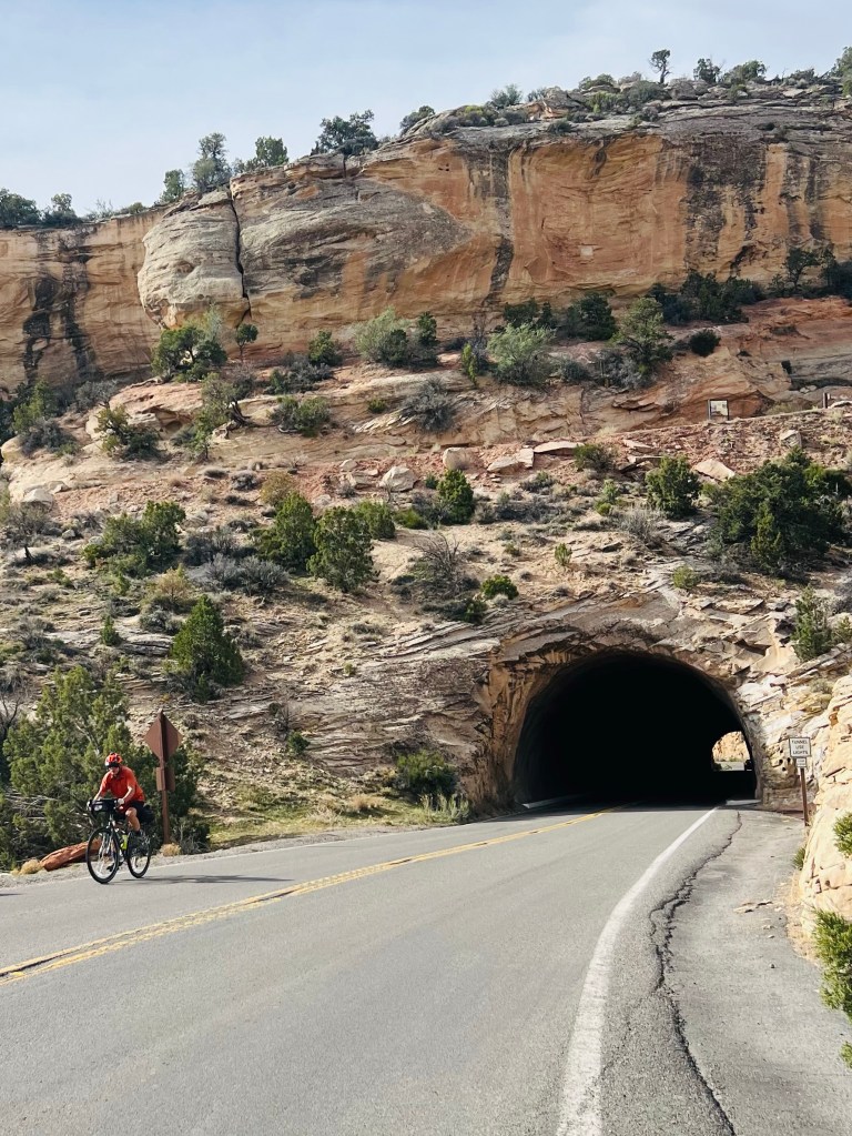
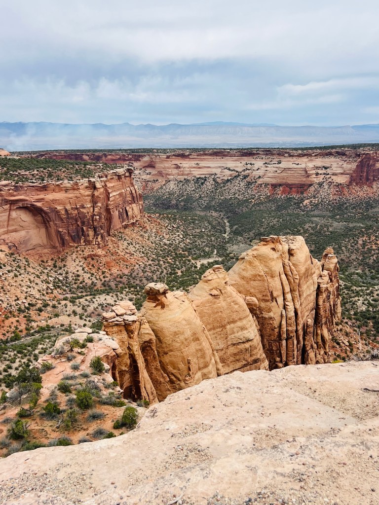
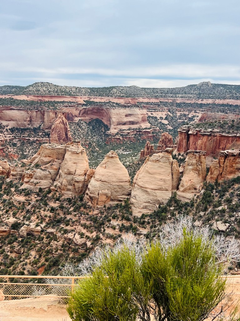
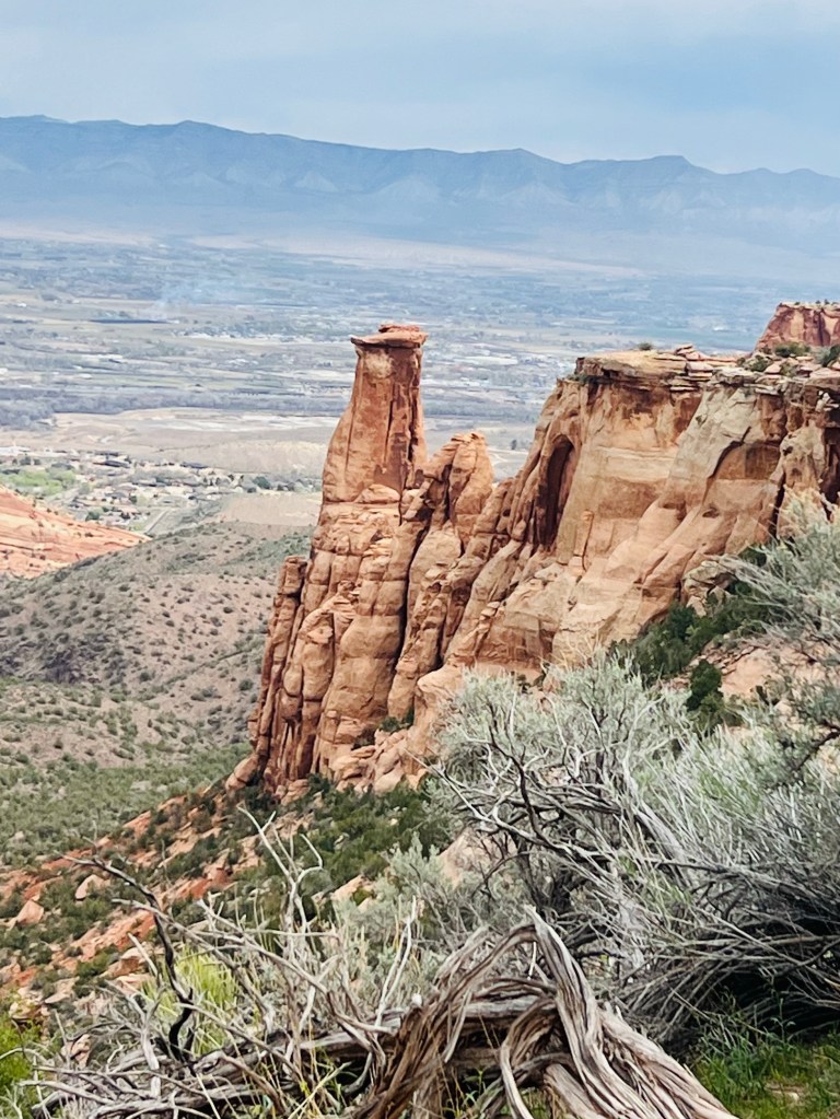
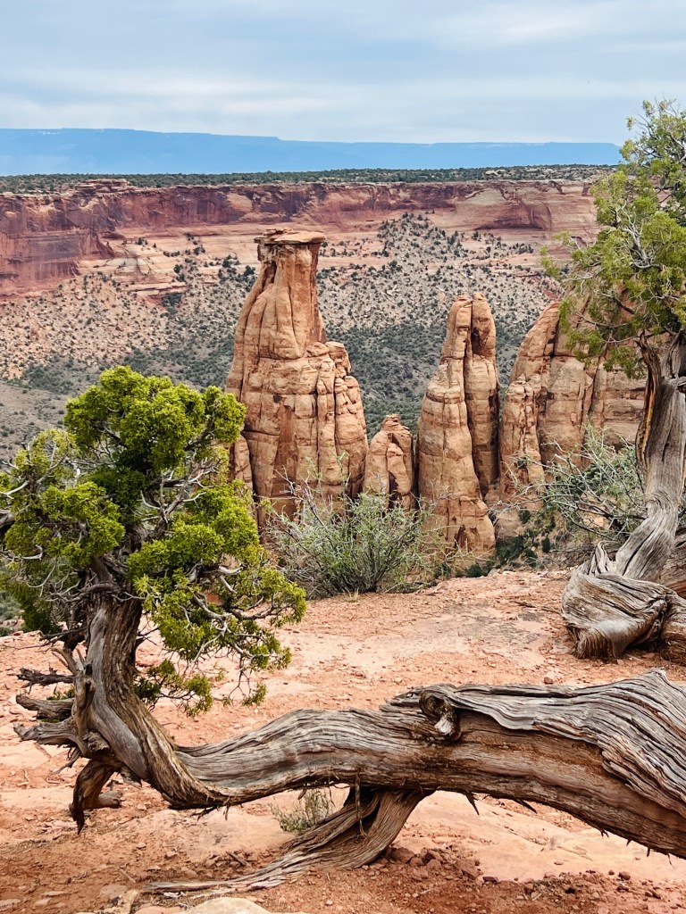
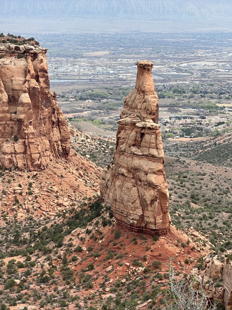
Epic Climb and descent…Colorado National Monument Ride
DAY 5
3/23/26 Monday
Miles: 34 AIS: 3:43 Speed: 9.1 mph. Elev: 2755
The temps today started in the low 60’s F and we finished in the mid 70’s in the afternoon. We made it an all day trip. Started about 9:30am and finished at 3:30pm.
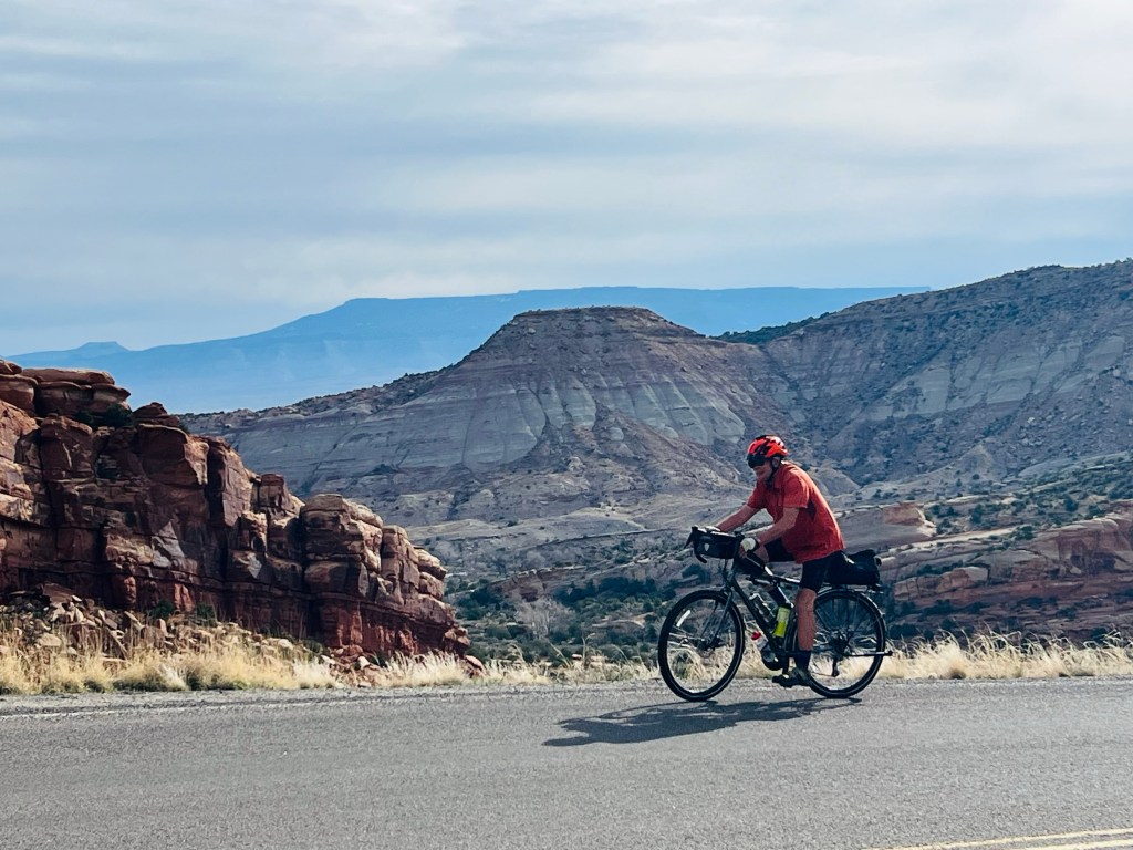
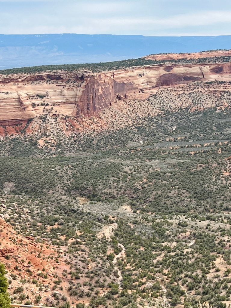
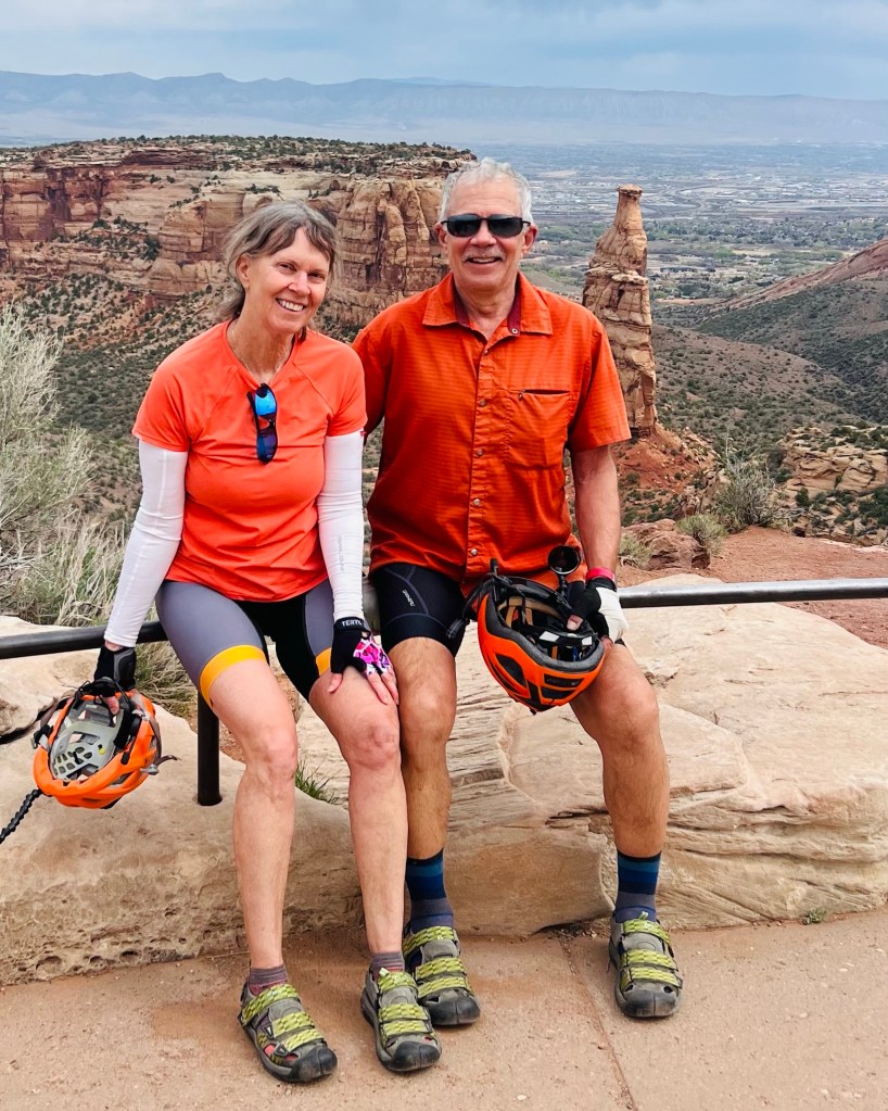
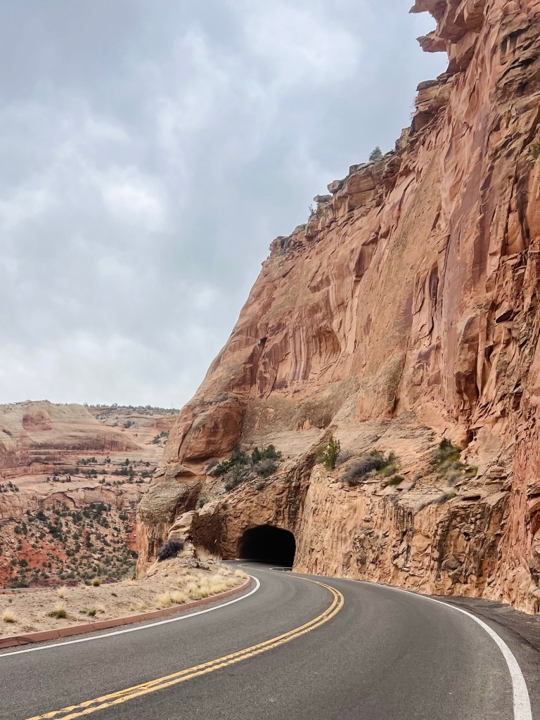
We rode the scenic Rimrock Drive in the Monument. It is a common bicycle route for locals with plenty of steep climbing for their training rides. They are all “kitted out” and on nice light carbon frame bikes and then there’s us! Steel framed touring bikes with gravel tires and a rear bag with extra layers and snacks and such. We were out for the day to stop at every pullout and SEE the sights. The great thing about taking this drive on a bike is that it’s easy to pull off the road… even if it’s not an official car pullout! I did this a few times to slow my heart rate down by taking a quick break. In less than 30 seconds I’m good to go again.
The first 3-4 miles were short steep switchbacks going up. We started in our easiest gear almost within 20 feet of the car and didn’t let up for those first 4 miles. We had no problem stopping to take pictures and enjoy the views looking back where we had come! The switchbacks were hard but our lowest gears easily handled the incline without grinding our way up. Just slow and spinning. We both felt really good about our abilities riding this section.
Took a quick pic while I stopped to breathe
I think it was the second switch when I saw a Bighorn sheep. It had just crossed the road and was heading up the other side. They are very common up there but today that was the only one we saw.
There were 3 tunnels on this road but only one on our ascent. Headlights and taillights were required to ride in the Monument because of the tunnels. This first tunnel was going uphill so it seemed pretty long. It was a bit weird riding through it. We both felt shaky while riding through… not sure why. I could not look up because the daylight on the other end was blinding. Anyway.. it was freaky.
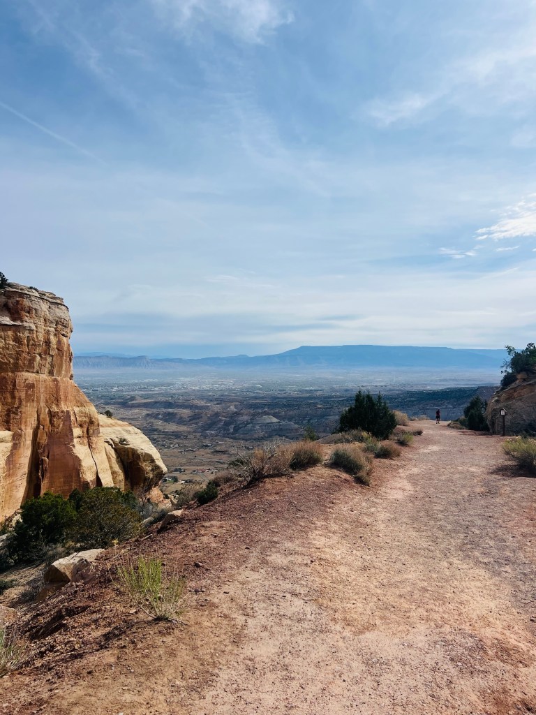
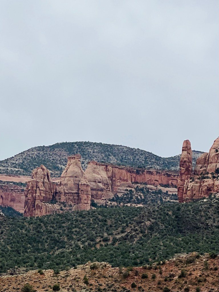
There were two summits on the climb up over the first 11 miles. When we were near the first summit the incline eased off and we could use some more gears and actually had some rolling hills. It was comfortable and pleasant through this section. Actually the rest of the ride was much easier.
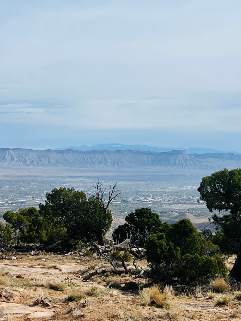
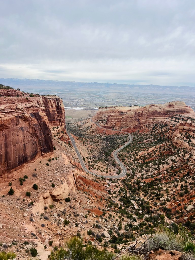
Because it was Monday morning the traffic was light. We didn’t worry much about cars and could look around. The road was narrow and at times the ledge drops were very steep. It gave me the “heebie-jeebies” sometimes. Deep, deep canyons and steep faced walls. It kept you feeling a little exposed and vulnerable at times.
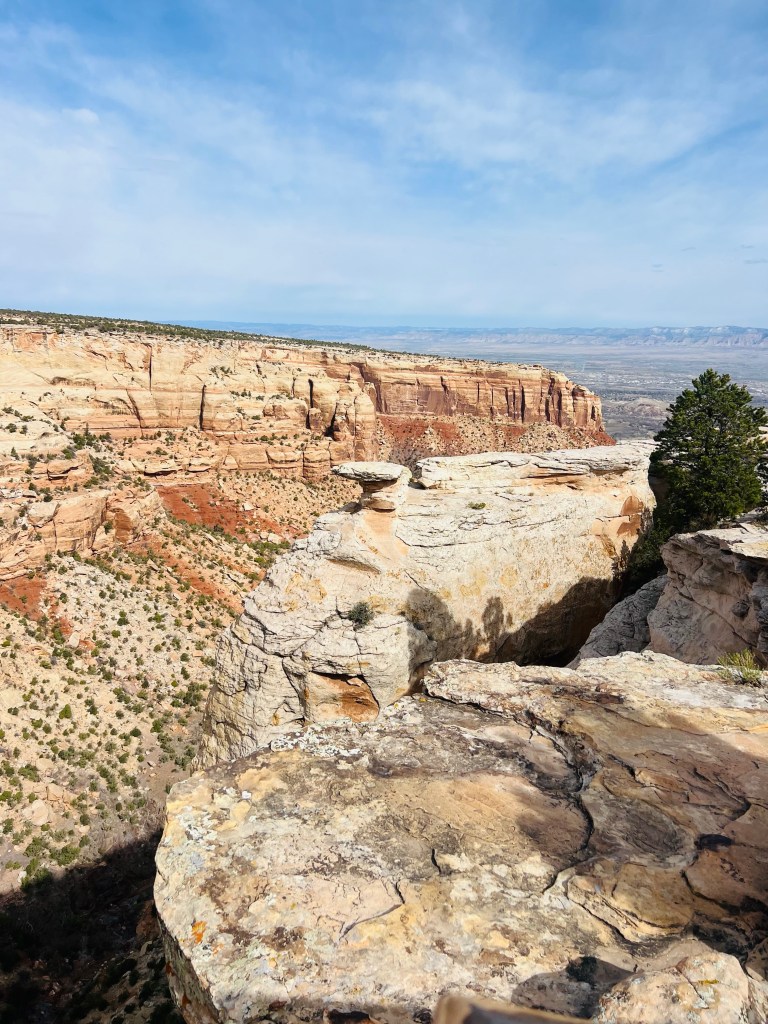
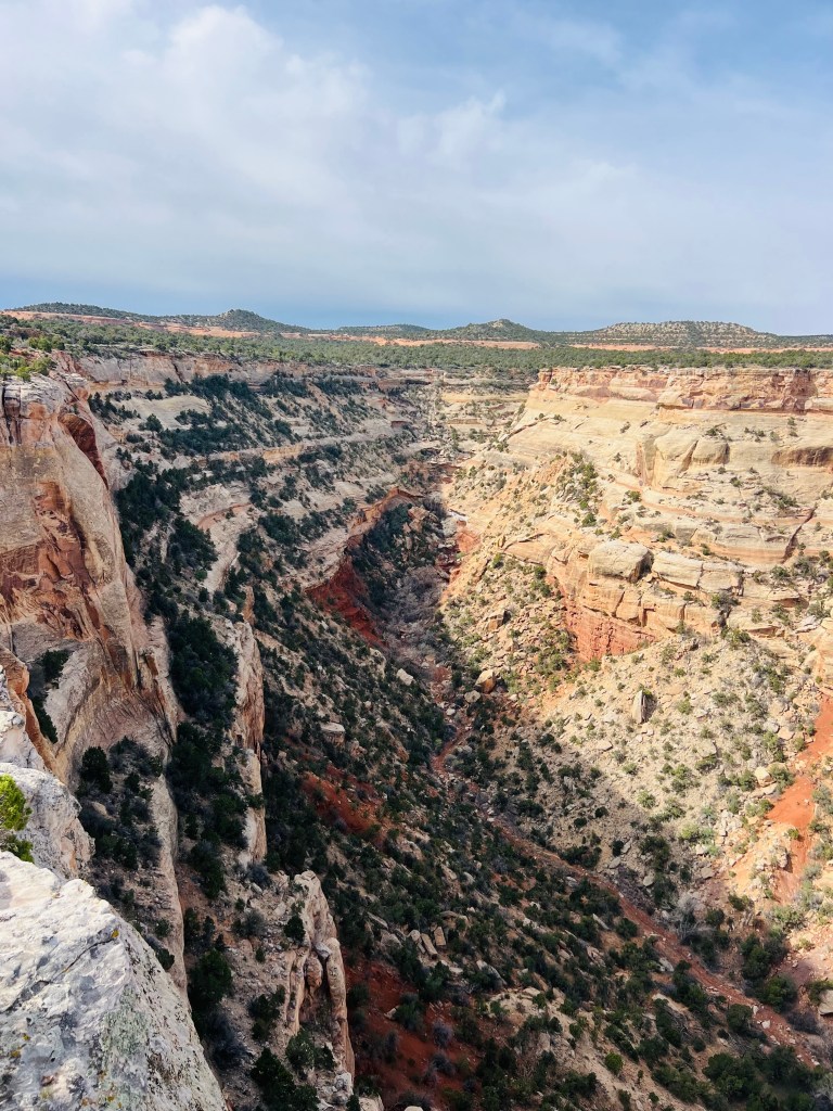
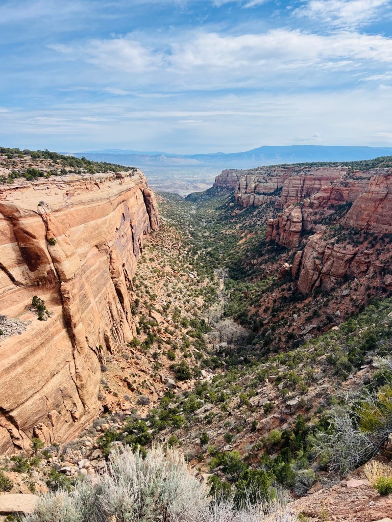
We reached the second summit at about 11 miles. From that point it was predominantly downhill… rolling at first. There were some spectacular canyons in this stretch…so we stopped numerous times.
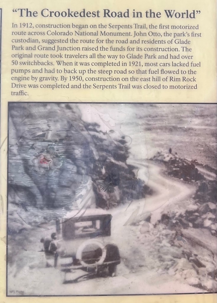
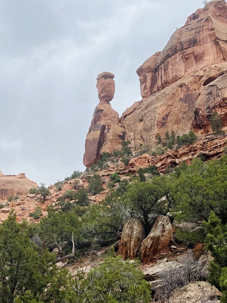
Now it makes sense. They thought they looked like miners coke ovens.
Amazing erosion
Can you spot the climbers?
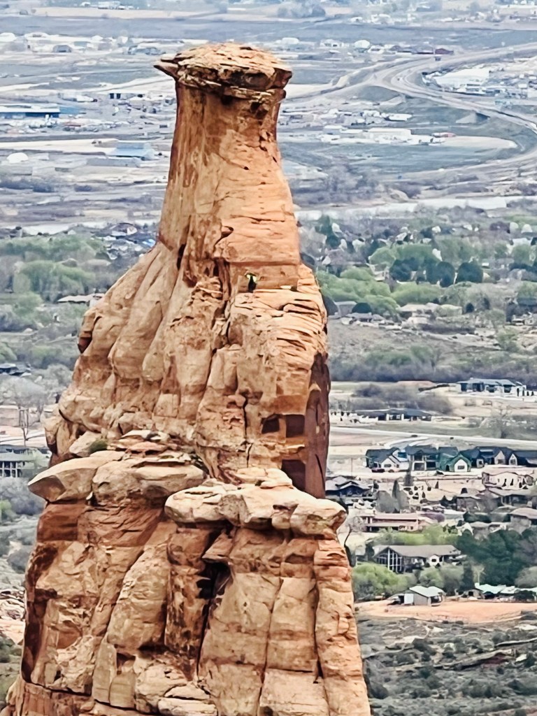
in orange shirts, helmets
and green shoes🤣
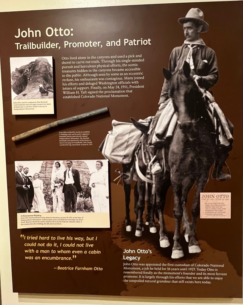
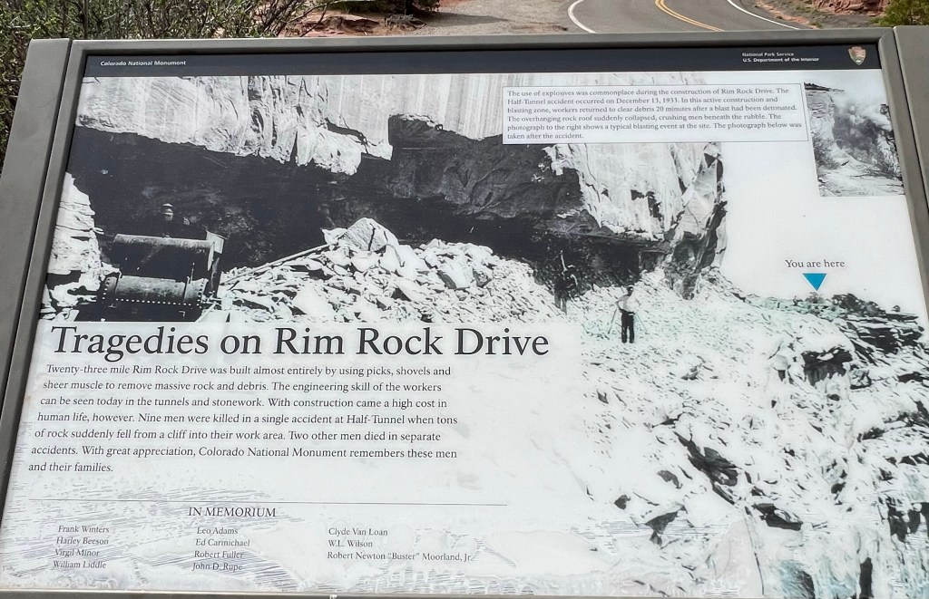
Pick and shovel and explosives.
After the Vistor Center we started a rapid descent toward Fruita. It was alot of fun, of course, but there were still a few stops and two tunnels.
We were down in no time.
Much easier and faster on the way down
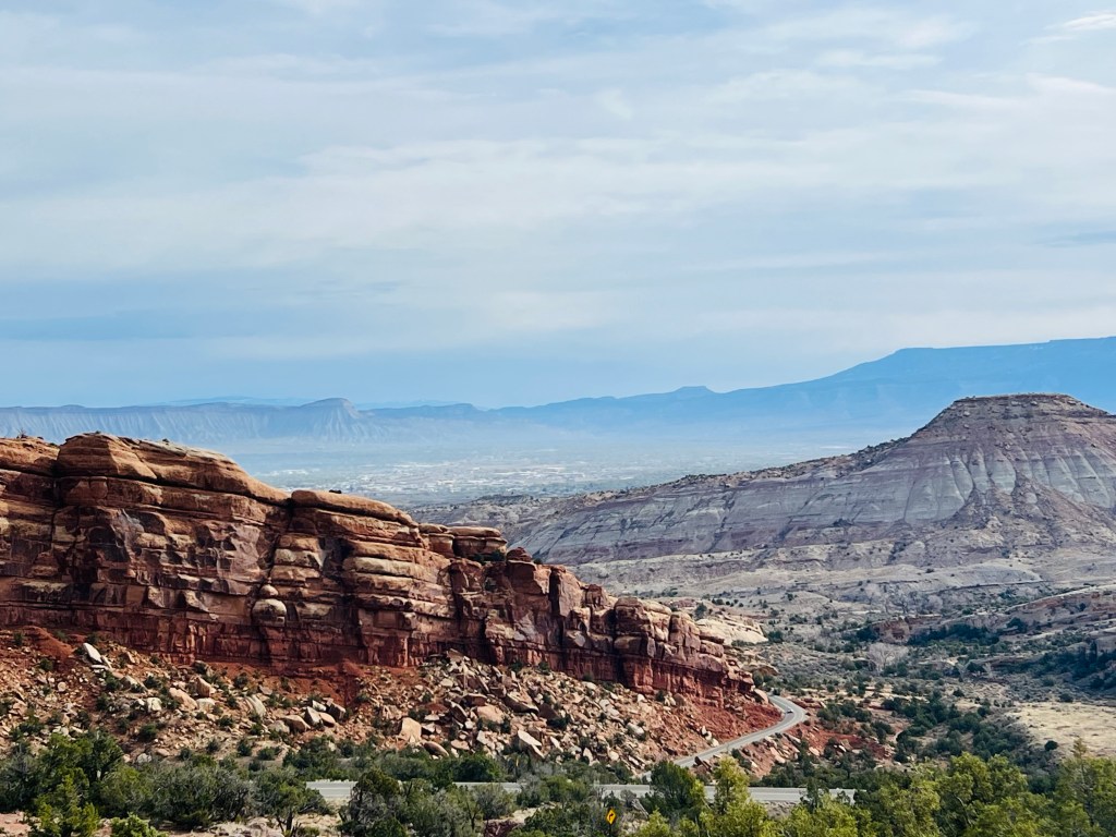
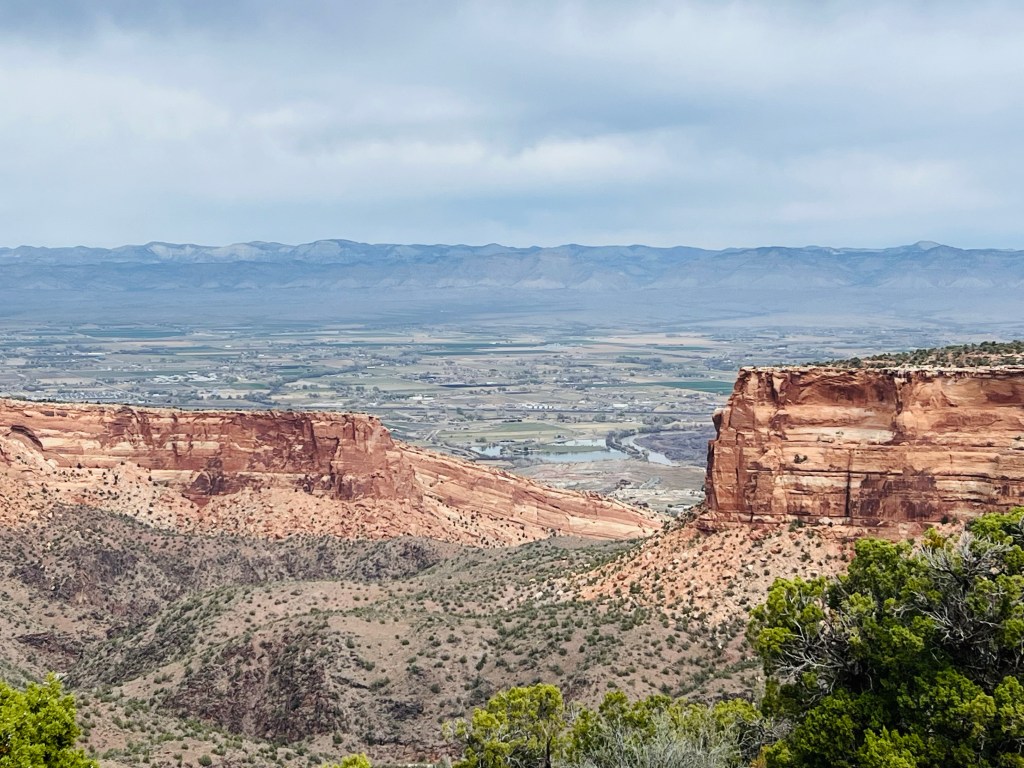
Once we met the main road we had a 10 mile ride back to the car along what I call the bench. I think it’s called The Redlands. It’s a bench above the valley and overlooks the Grand Valley to the north and the Monument to the south. It was fun to look back up and know we had just been up and across all that beauty!
That’s Independence Rock again.
The route back had one big uphill and then it was mostly rolling back to the car. We met several other bikers going the opposite way… I assume to their vehicles too. At one point I stopped and was waiting for Jim who was a little behind me. As we were talking on the corner I lost my balance and fell over! Glad I wasn’t clipped in! I guess I was tired!! We laughed about it.
We traveled from the bottom center
to top right.
We finished the ride. Happy and hungry. It was just a great day…Not busy… not hot… not windy… slightly cloudy. Really comfortable temperatures.
I should mention we felt pretty good to be accomplishing this ride on our third day of riding too.
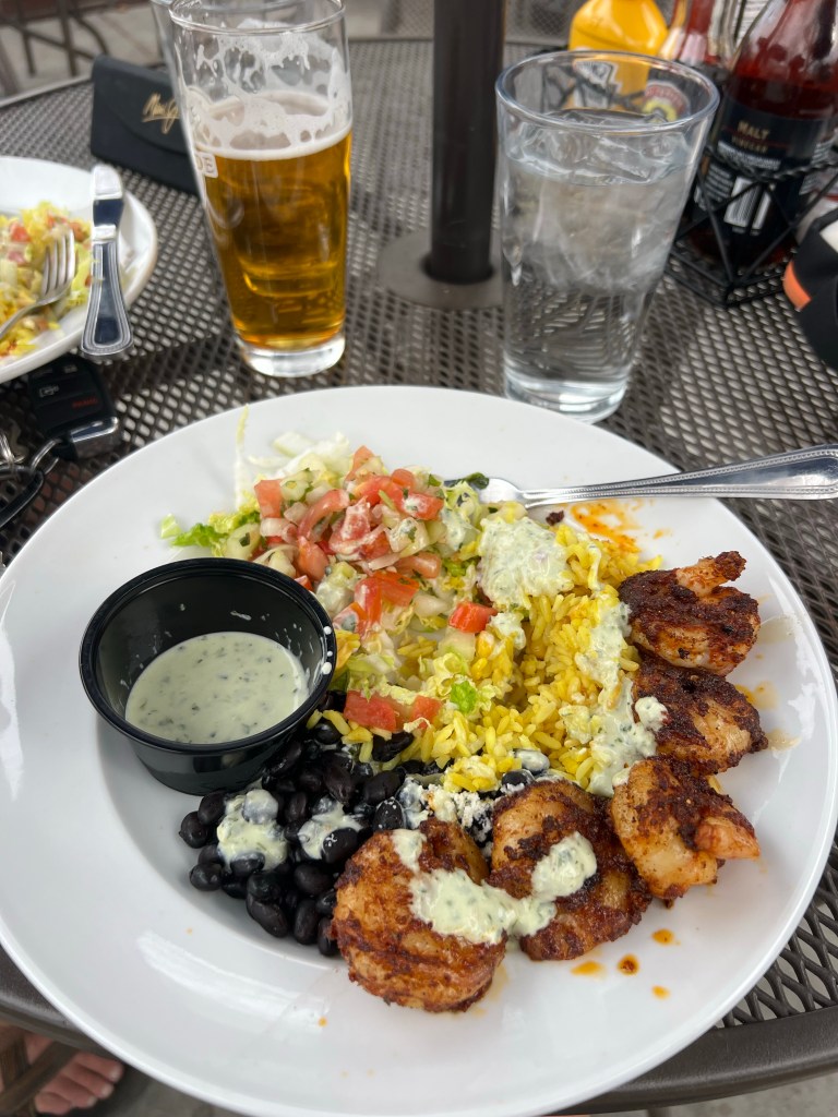
We drove downhill into Grand Junction for dinner at a nice restaurant/brewery in the downtown area called Rockslide Brewery. To our surprise there was a paved bike trail all the way into downtown GJ. (However, I was glad to not have to bike up to the park entrance). The brewery had an outdoor patio. Good food choices. I had creole shrimp bowl and Jim had Ahi Tuna bowl.
Tomorrow we change locations and head to Moab Utah area. We plan to visit Arches National Park.
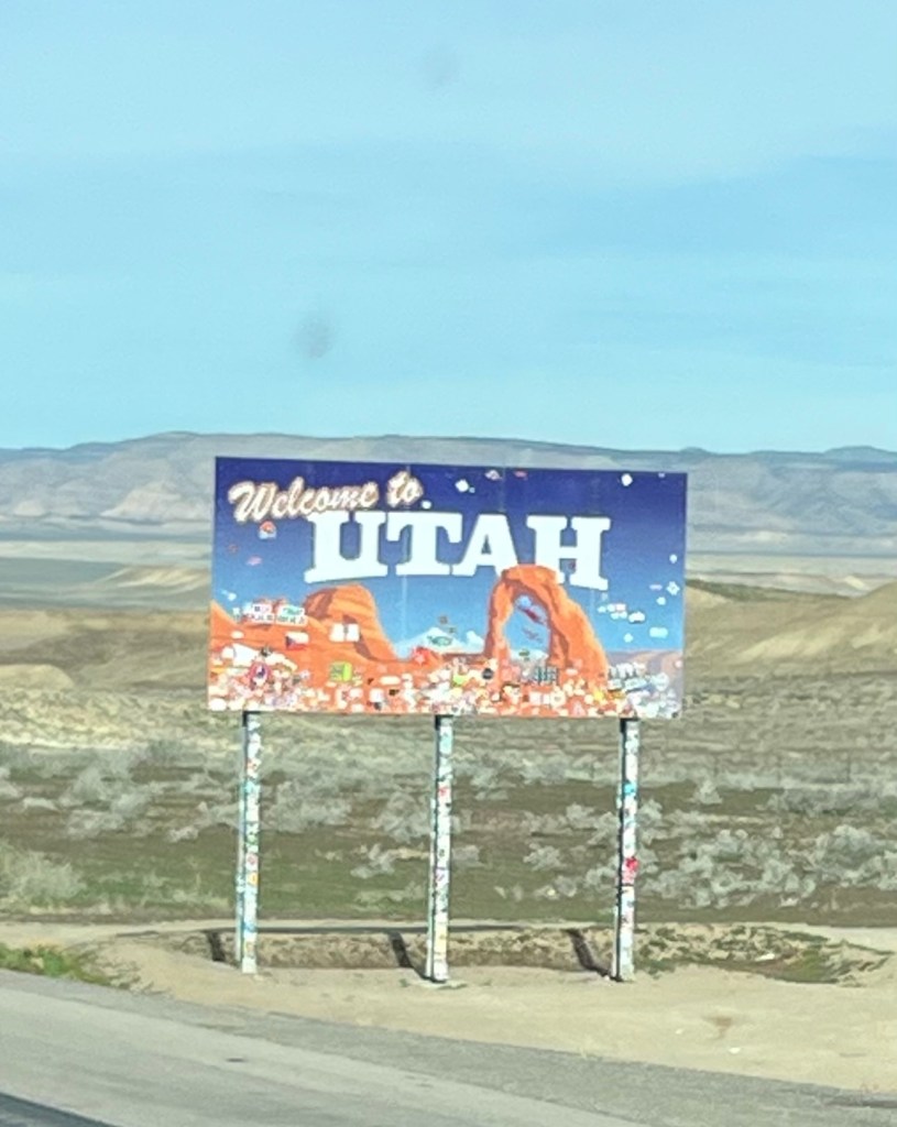
UTAH… your turn!
DAY 6
3/24/26 Tuesday
It’s a ZERO DAY… no plans except to drive and camp
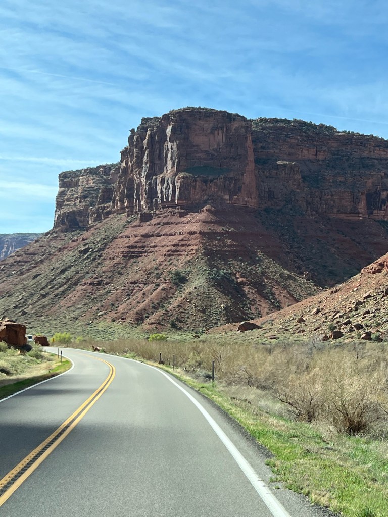
Fruita CO to Moab UT 84 miles
We started with a trip to the City Market Grocery store in Fruita for blocks of ice and some other provisions to last a few days out there.
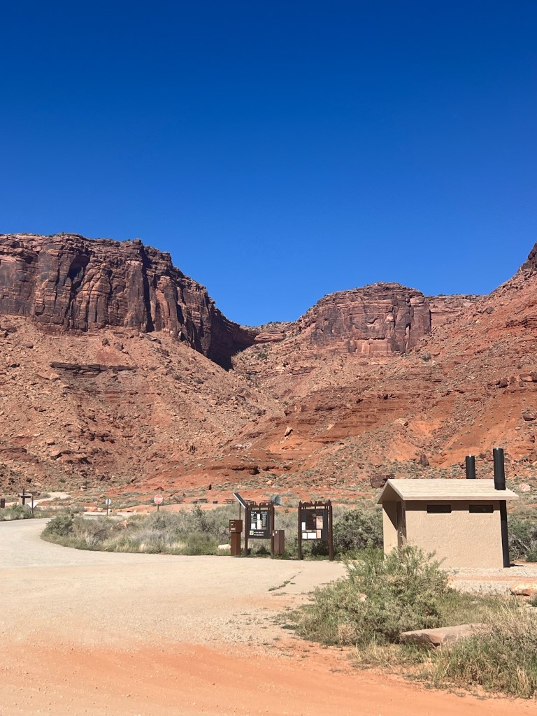
It was a short driving trip today. Maybe 1.5 hrs at the most. Our biggest concern was arriving at the right time to snag a BLM campsite on the Colorado River somewhat close to Moab. It’s a very popular destination this time of year and these sites are cheap. $10 for Seniors with a National Park Pass.
when it starts to look like this

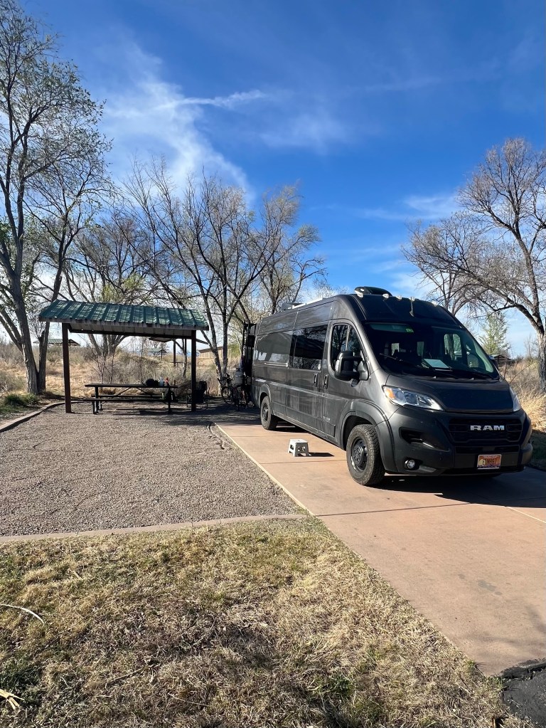
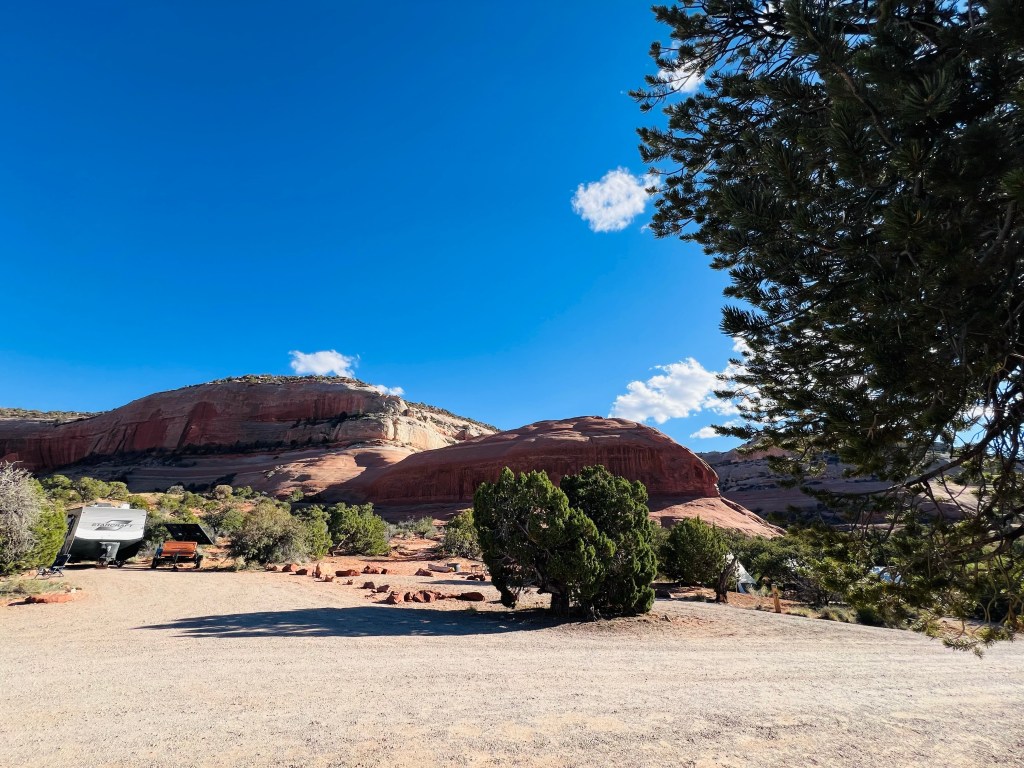
All of the campgrounds along the river have clean pit toilets, picnic tables and fire pits. People must leave by 12 noon so it’s good to arrive between 11-12. You might have a choice of sites. Our plan worked well and we found a decent site. We are camped at Big Bend campground on the Colorado River. It’s about 10 miles north of Moab.
We started looking further up river at BLM sites as we drove south. There were some with available sites but we wanted to be closer to Moab. The campers came rolling in shortly after we chose our site. Our timing was perfect. It’s high season for mtn biking and 4 wheeling. It did fill up by dinner time for sure.
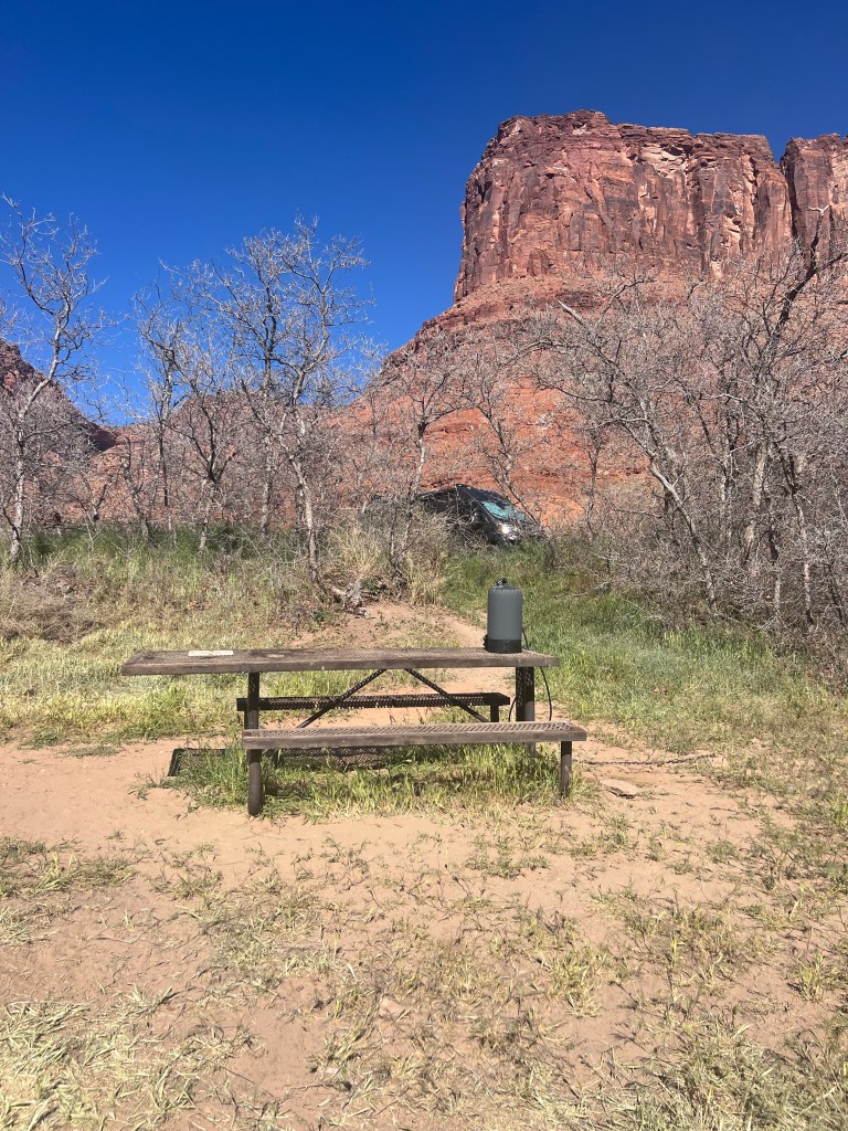
You can see the van above
We spent the afternoon moving our chairs with the shade provided by our van. Mostly bushes and scrub pines so not much shade. It was hot today. It was 87. Our camp had a nice sandy trail down to the river. There was a little breeze on the river so sitting on rocks with our feet in the cold water was comfortable.
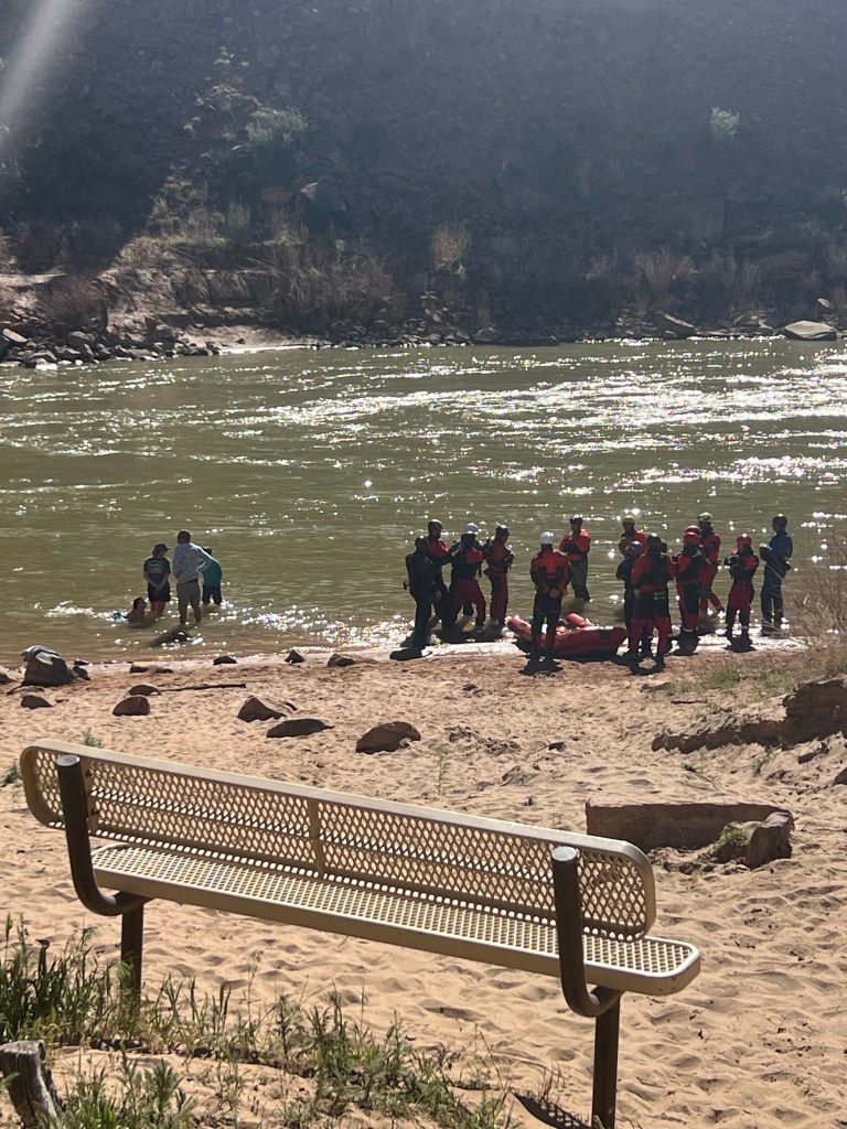
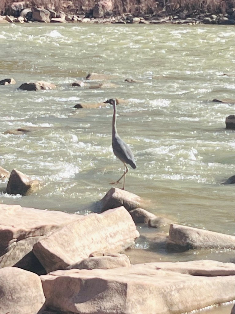
We were entertained with a law enforcement group learning white water rescue… or so it looked. They were there all afternoon in and out of the river. Everyone was outfitted in dry suits and life jackets for sure.
Tomorrow we are going to Arches National Park. I have never been and Jim has not seen much of it since he was in college at Utah State.
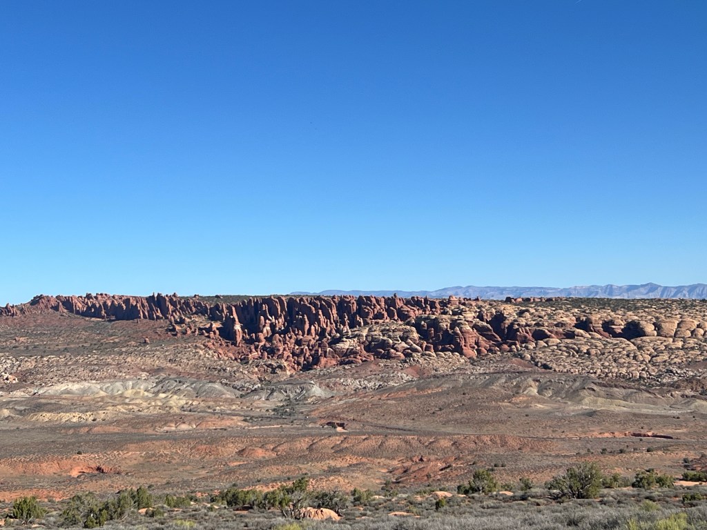
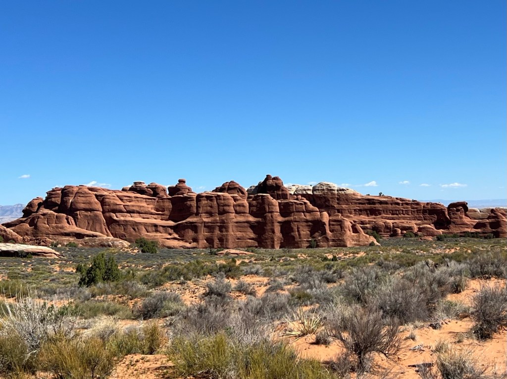
Arches National Park
DAY 7
3/25/26 Wednesday
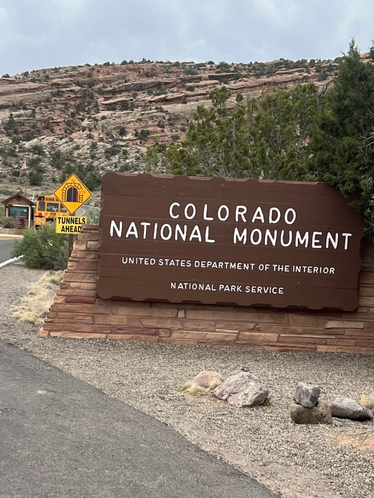
The alarm was set early this morning…5:30. We wanted to get to the entry gate by 7am. Somehow we managed to make that goal spot on.
We drove in and stopped at the first “attraction” pullout. It was just a few minutes later and it was sunrise. Very quiet park traffic this early. We had decided to have some coffee and breakfast in this parking lot. It’s at times like this that we really appreciate the “van life” feature! We had a nice breakfast and got dressed for the hiking and sightseeing of the day right there in parking lot attraction #1. To be known as breakfast parking now.
By 8am our lot was a steady flow of visitors. In order to leave we had Jack (real name on his name tag) who helped move the two ladies from a tour bus of visitors (the MaryLou’s) away from the front of our van so we could leave the breakfast parking lot.
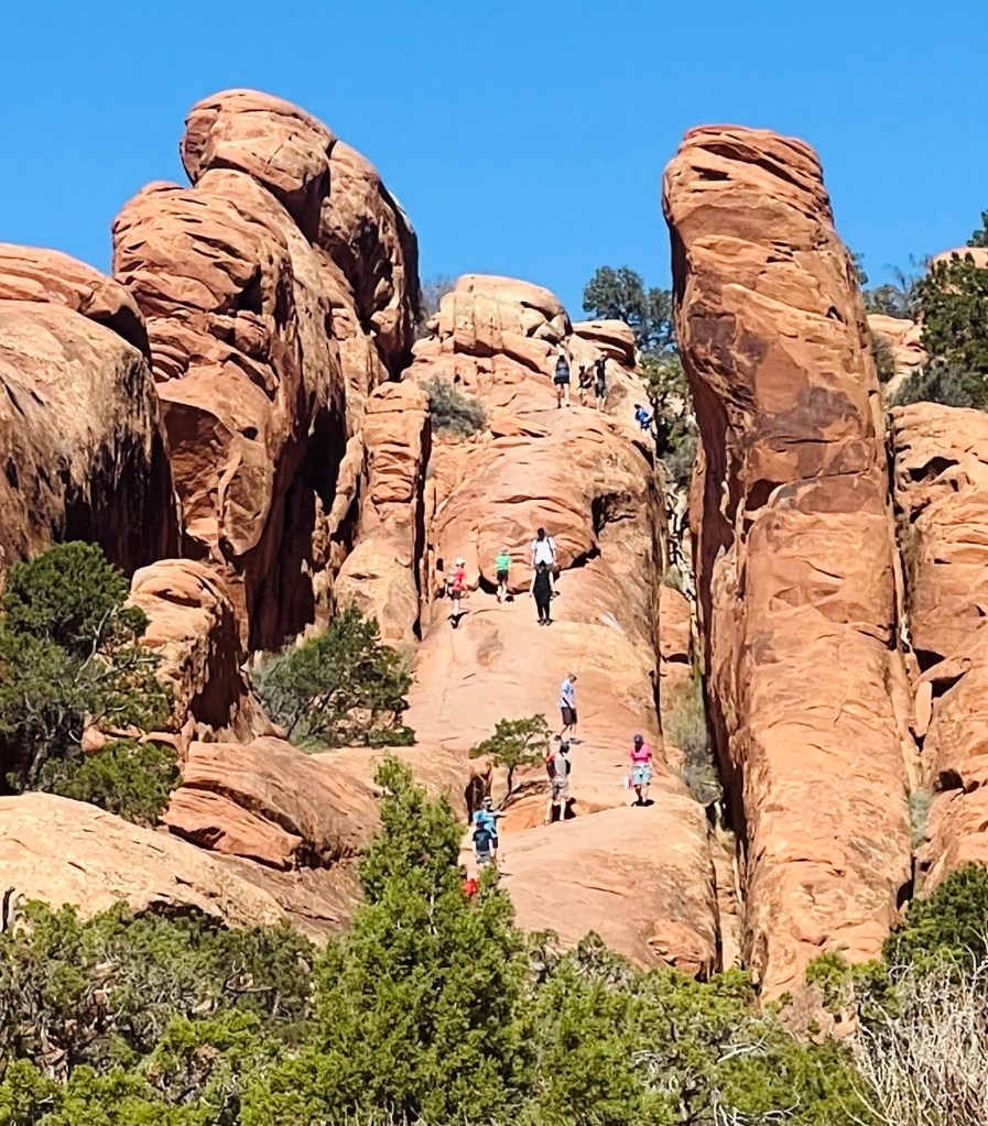
We would see a lot of characters throughout the day. That was such fun seeing all the different types of people out hiking in the park. There was “Grateful Dead guy” in his tye-dye shirt….wife too. “Grammy” who was doing the run-shuffle in the parking lots. The toddlers hitting melt down from walking and heat. Teenage girls that didn’t want to walk anymore… hanging in the shade. Lots of older hiking couples with walking sticks. Teenager in crocs walking in the hot, deep, sandy trail. Everyone was out enjoying this amazing place.
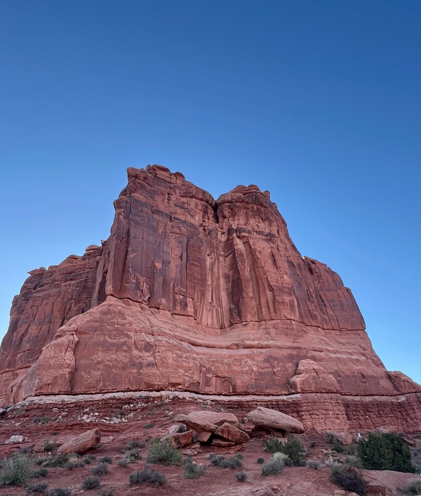
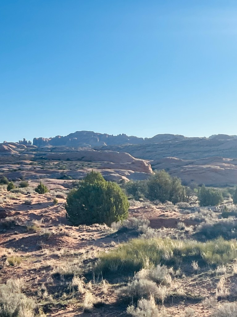
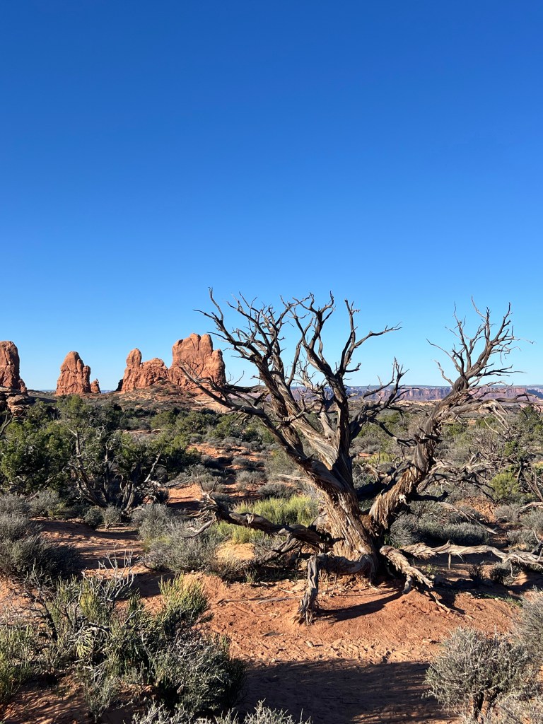
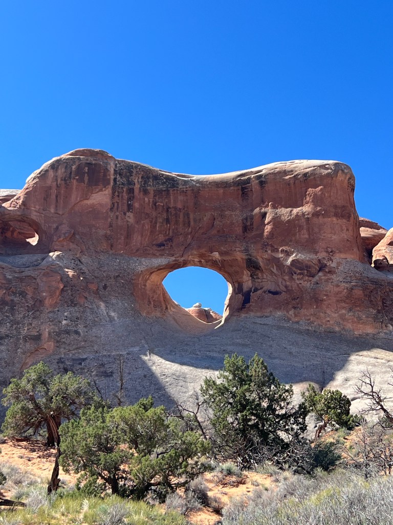
Meanwhile back to the attractions. The park is a single highway to the end and back. There are side roads to various arches and cool geology. Some of the features have trails you can take right up to the arch or around it.
We planned to take hikes whenever we could. We finished at a little over 6 miles.
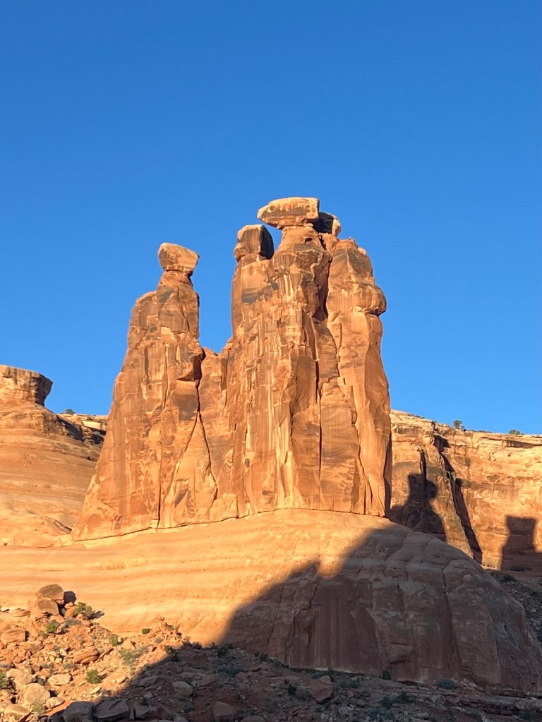
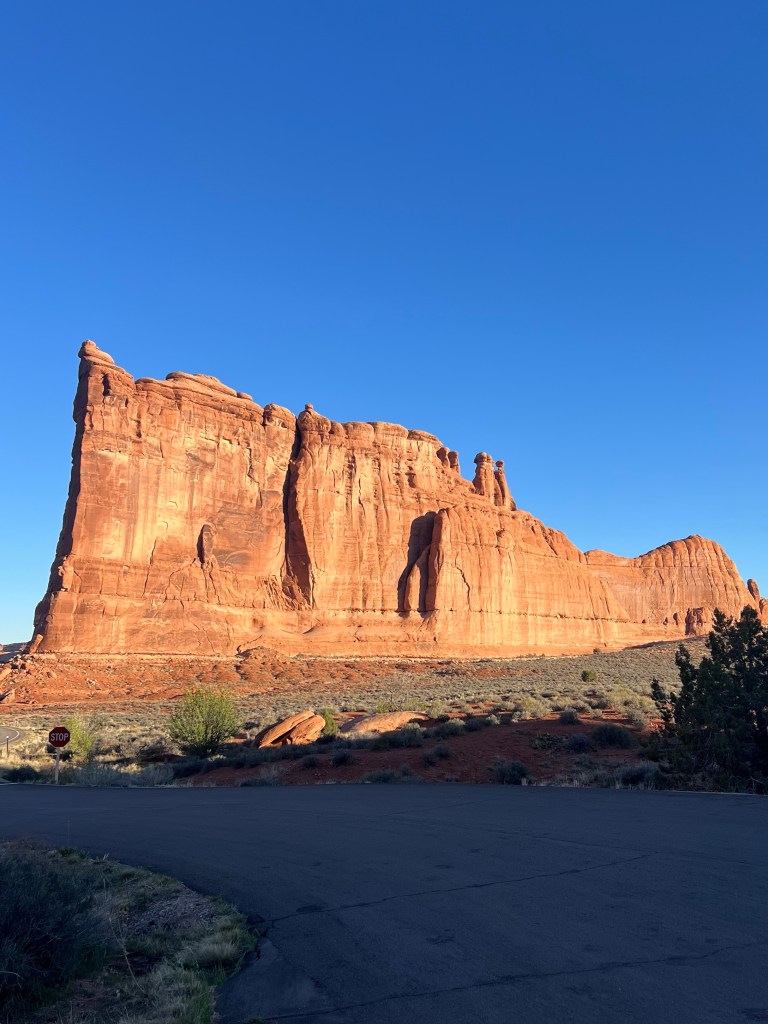
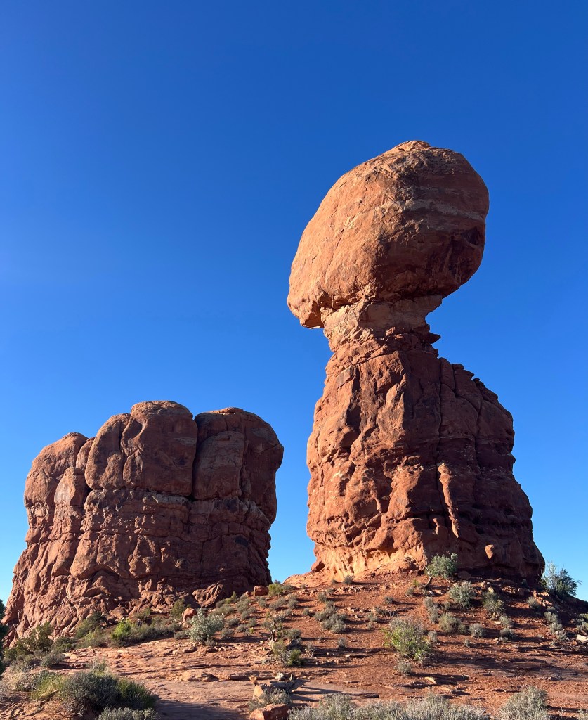
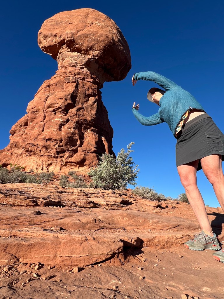
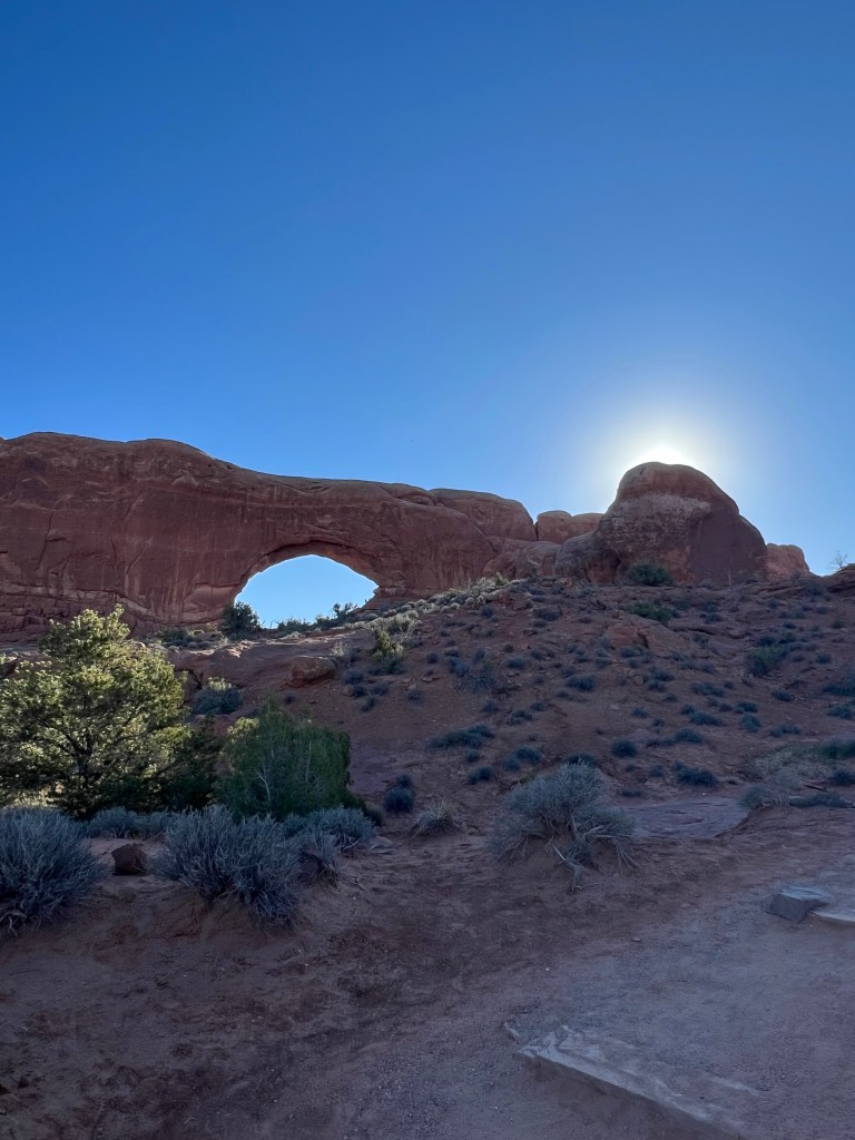
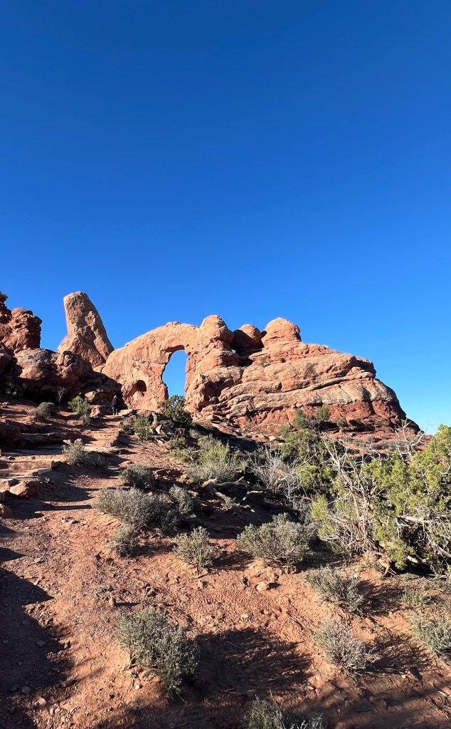
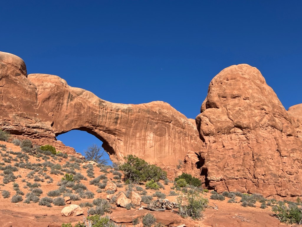
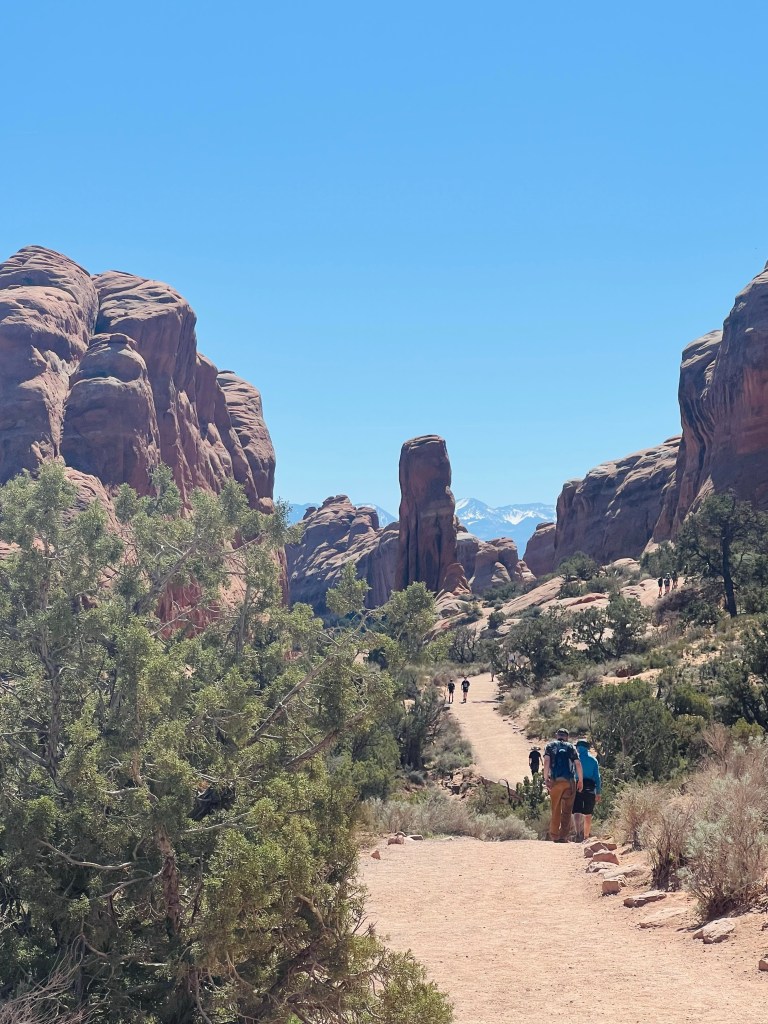
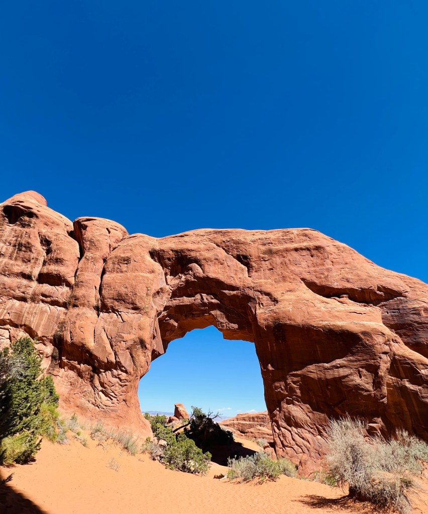
The next side road took us through petrified sand dunes. This went across a huge area for miles. Then we came to the Balanced Rock, Windows and Turret arches with a wrap around hike.
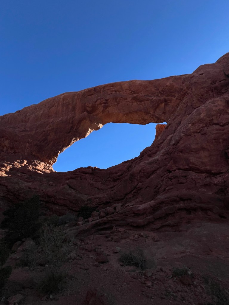
Back in the van and headed to Delicate Arch. There are two hikes…4 mile or 1.5. The 4 mile parking lot was full so we drove to the shorter hike to see Delicate Arch. It was a nice easy hike up to a ridge that looked across the Salt Wash at the ridge. The sun was shining on the Arch side so we had a fantastic view. We sat on the sandstone rock and enjoyed the beautiful morning and spectacular park views.
We moved on to the Fiery Furnace turnout. This is a really interesting place. You have to have a permit to hike in this area. It would be fun! Lots of slot canyons.
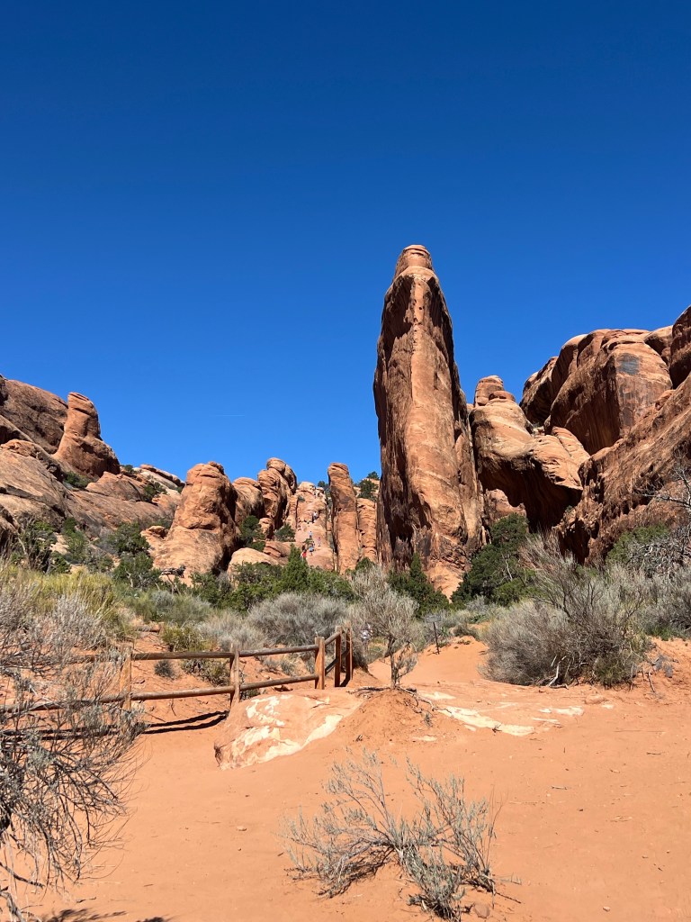
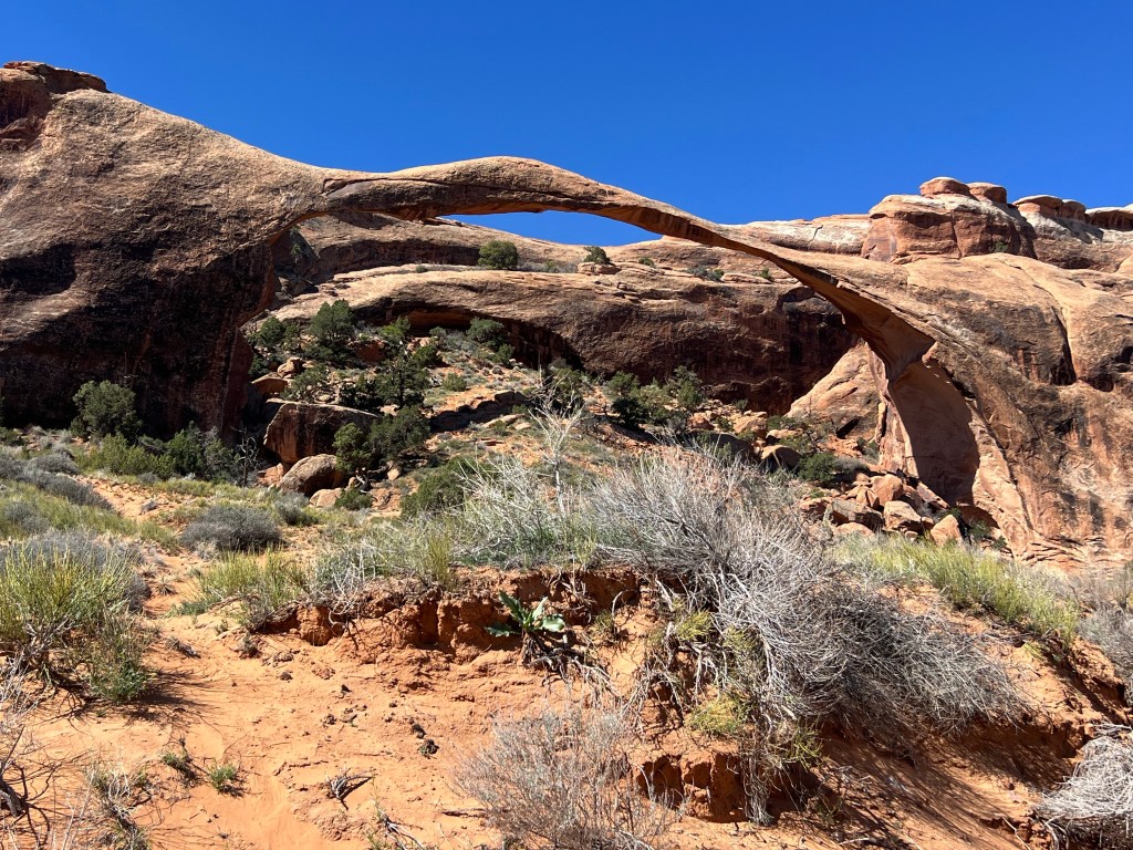
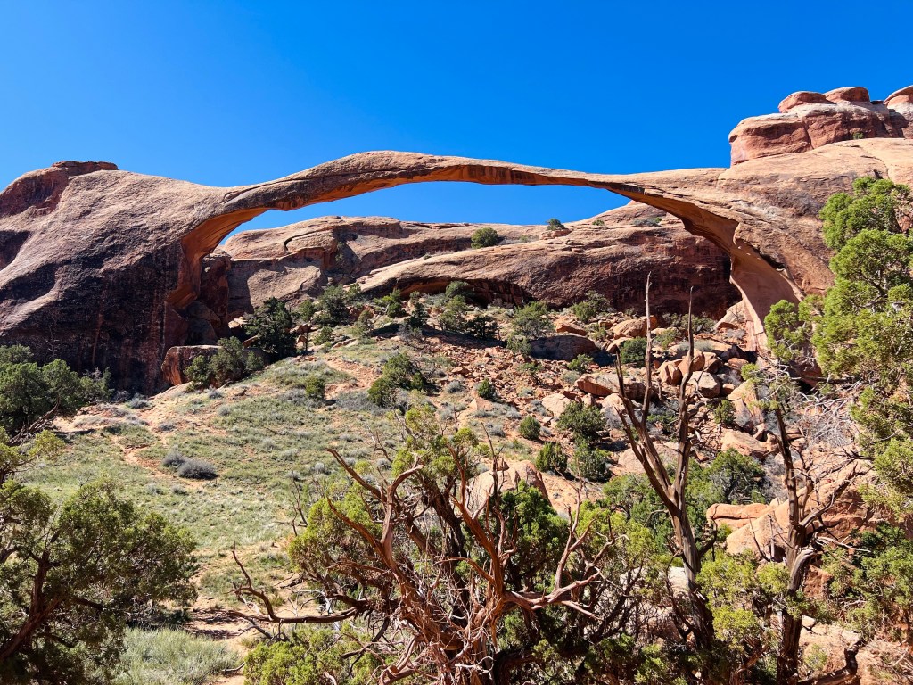
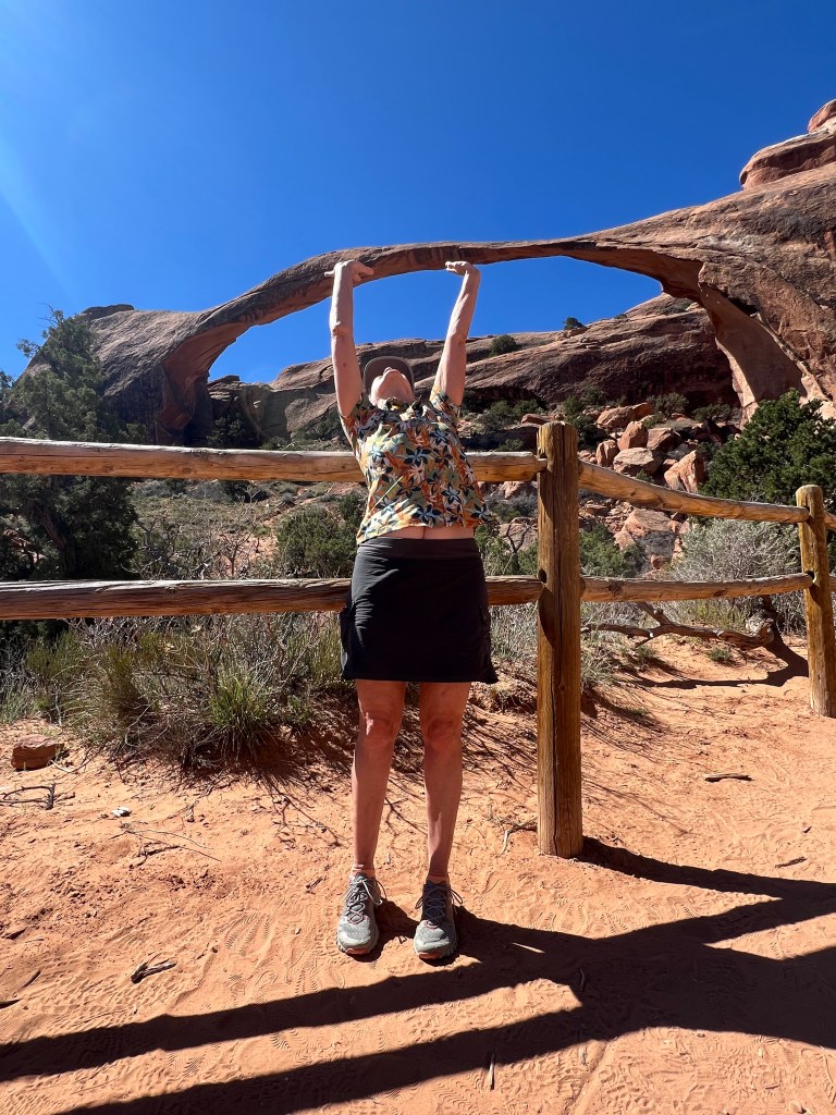
The last stop and end of the road in Arches is called the Devils Garden. It has several hikes you can take. A couple are particularly long..6+ miles. It was far too late in the morning and too warm to start that hike. We hiked to the Landscape Arch. This place was busy. It’s a very beautiful area. There’s also the only campground in the park here.
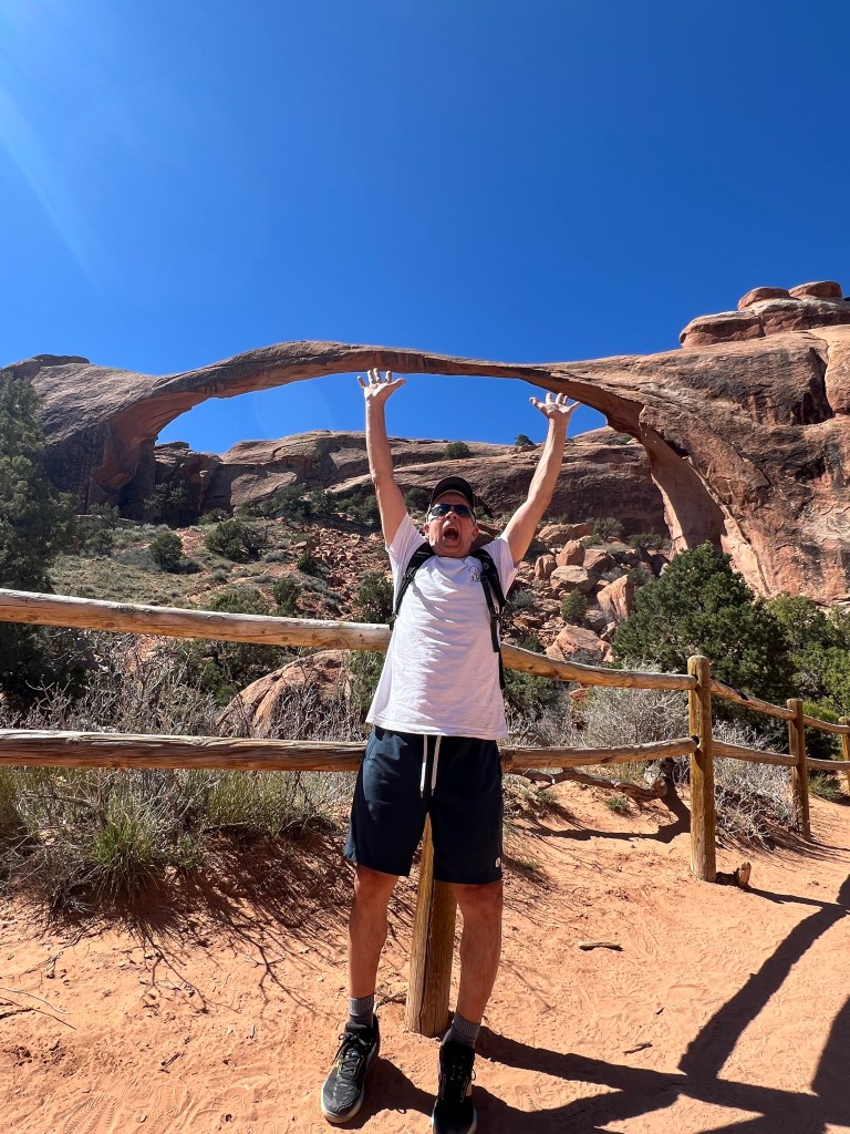
I think I did it
Too hot already!
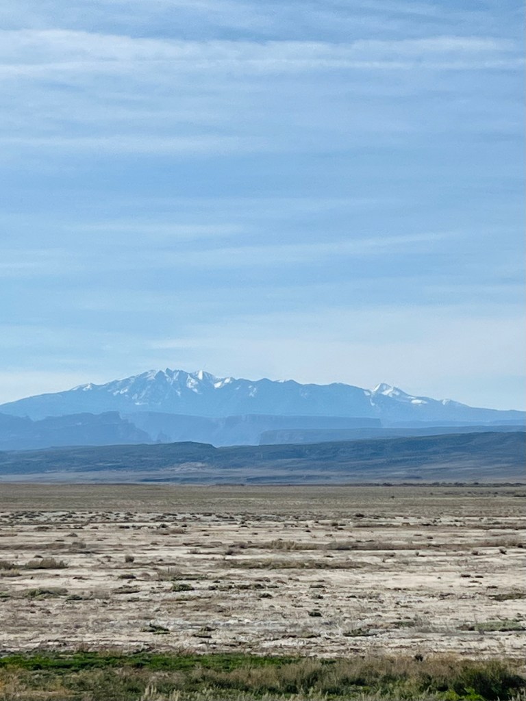
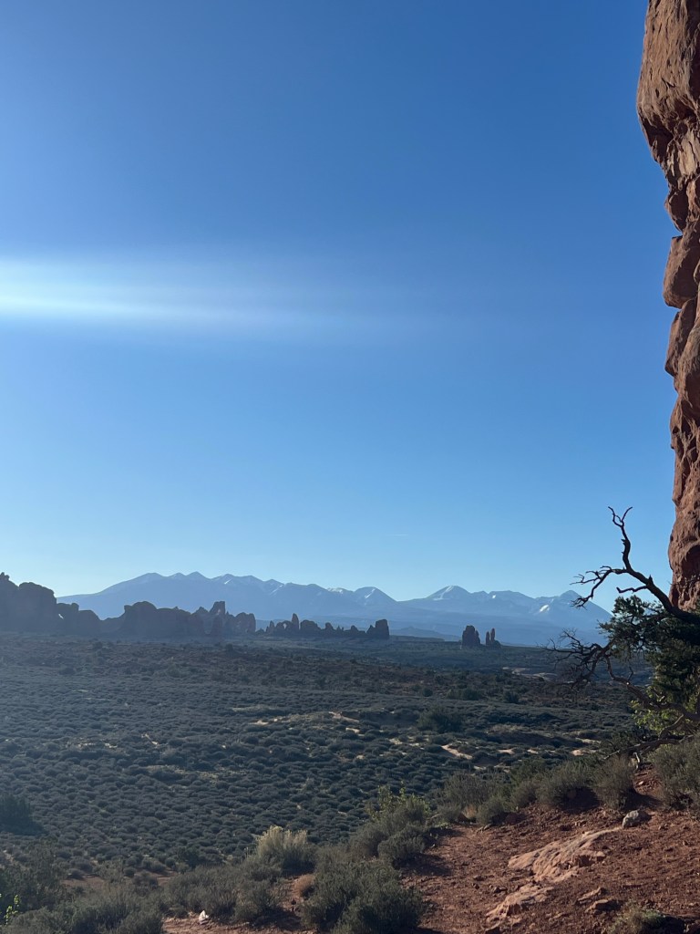
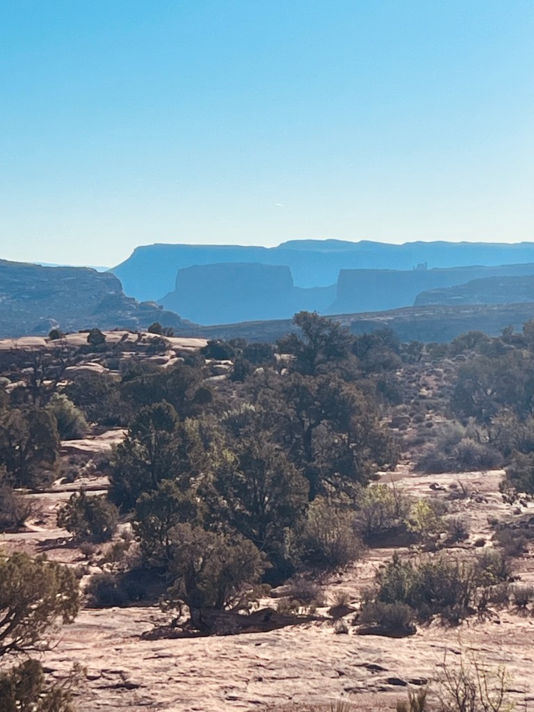
La Sal mountains in the middle
It was almost 1pm and we were ready to head into Moab. It was a quick drive all the way back. Enjoying, once again, all the areas we now were familiar with and seeing them going the other way. It’s always better on the rerun!
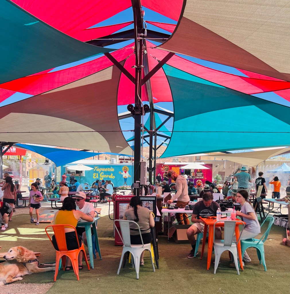
We drove into the heart of Moab to the Food Truck court. It was a nice little plaza area with misters running for comfort. There must have been about 10 trucks to choose from. We each had a nice schwarma Mediterranean wrap. Tasty!
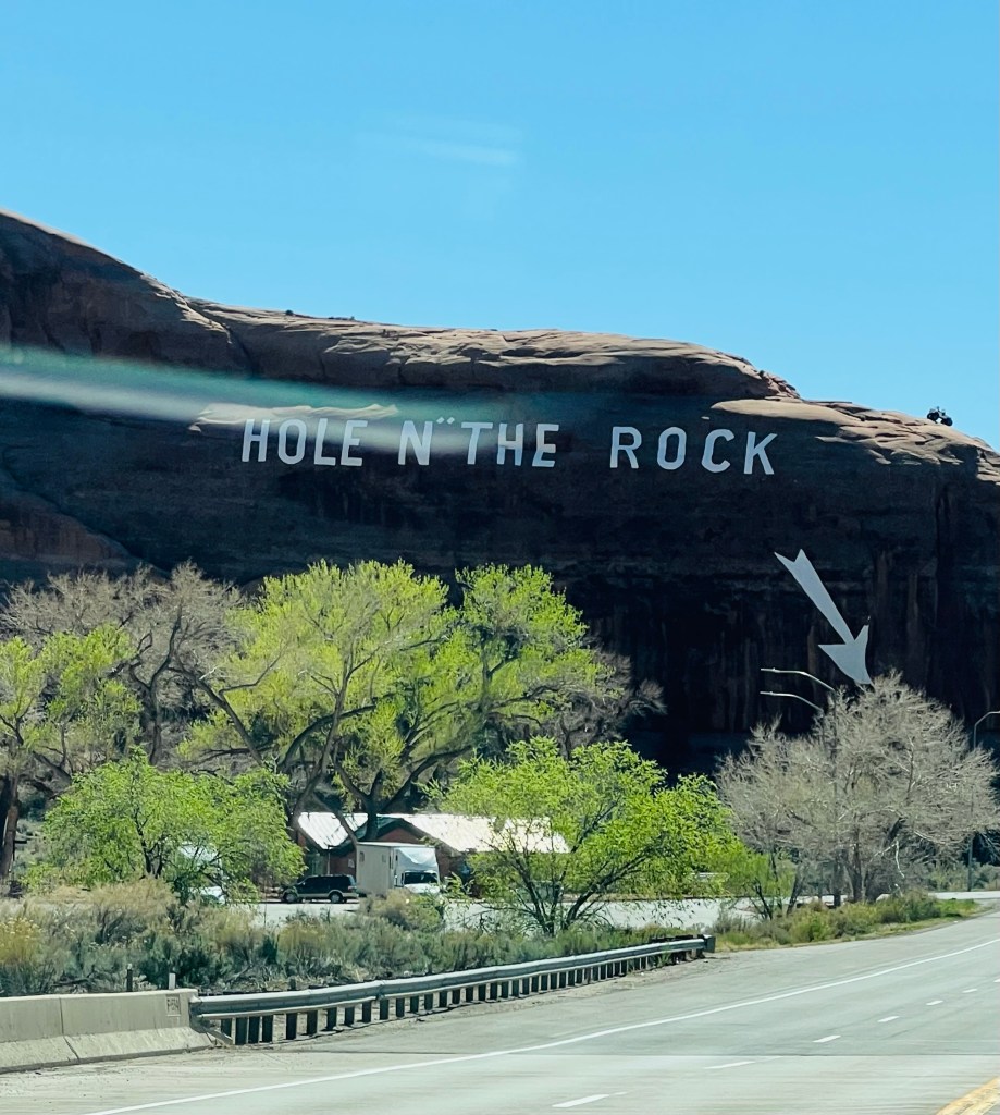
What the heck is this??!
Did not stop. Pretty sure there isn’t a hole. But… do they have to write on the rock??
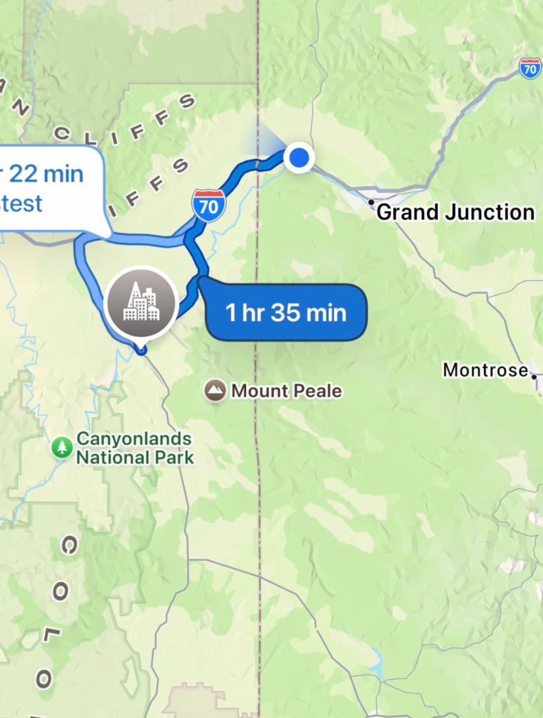
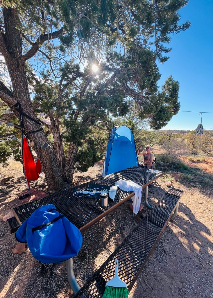
The plan for tonight was to camp further south at a BLM campground near the Canyonlands Needles overlook. We found the campground off the highway 6 miles into the 22 miles to the Needles overlook. It’s called Wind Whistle campground. There were lots of campsite choices.
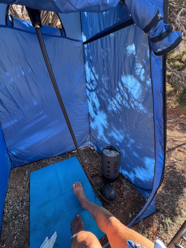
We settled in. Hung the hammock (it was tight quarters). Set up the shower tent and used it. Enjoyed the shade for awhile.
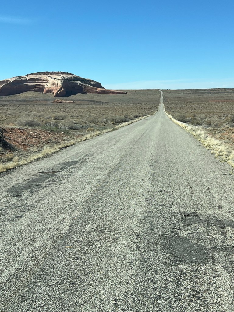
Tomorrow we’re going to the Needles Overlook in the morning. Breakfast at the Overlook. We don’t have a definite stop so we are going to explore and see where we end up. We’re headed south past Monticello… maybe Mexican Hat? We shall see what looks interesting.
This concludes WEEK ONE of Spring adventuring. I’ve almost even forgot it could be ski season because it feels like summer. And I love summer!
