
DAY 8
3/26/26 Thursday
Needles Overlook to Bluff Utah
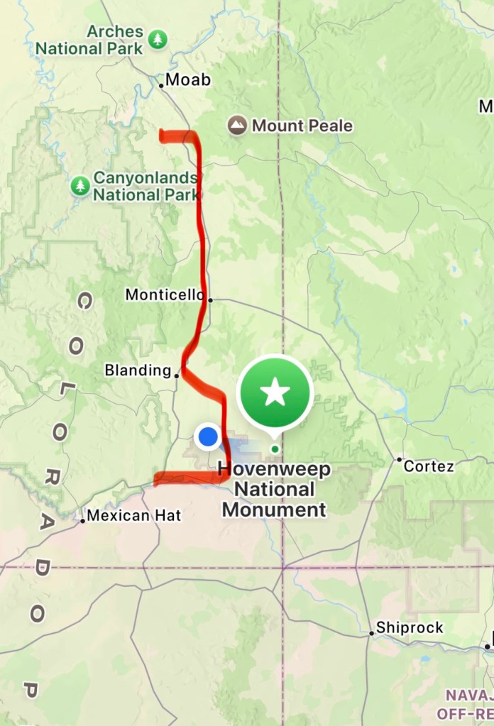
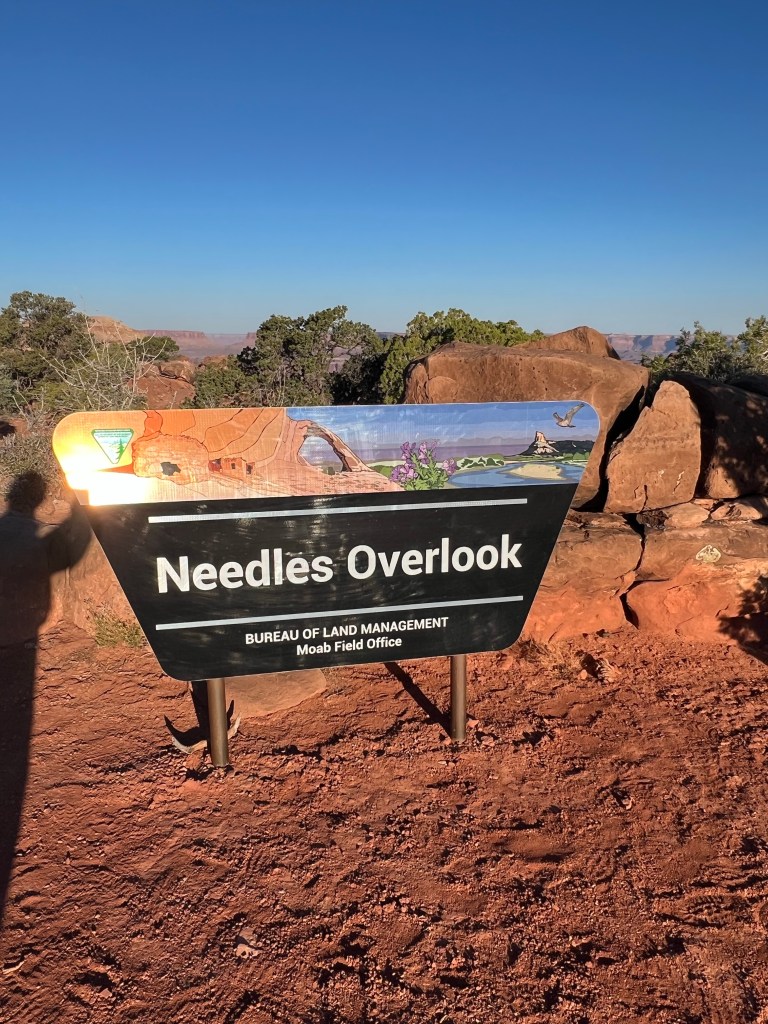
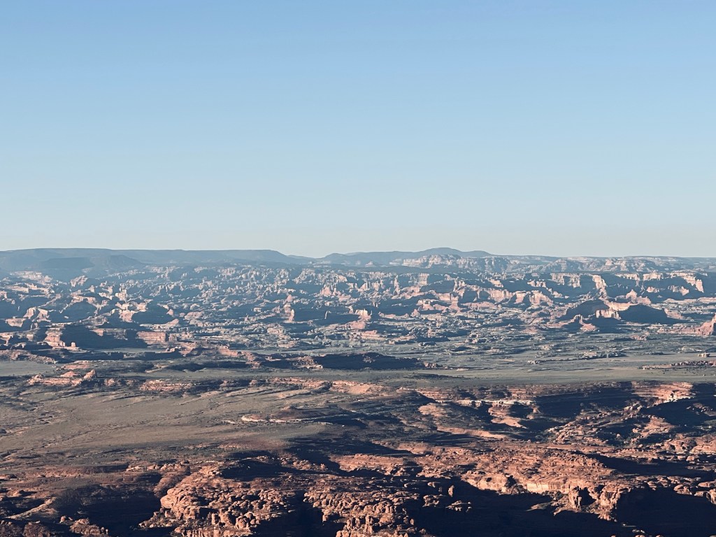
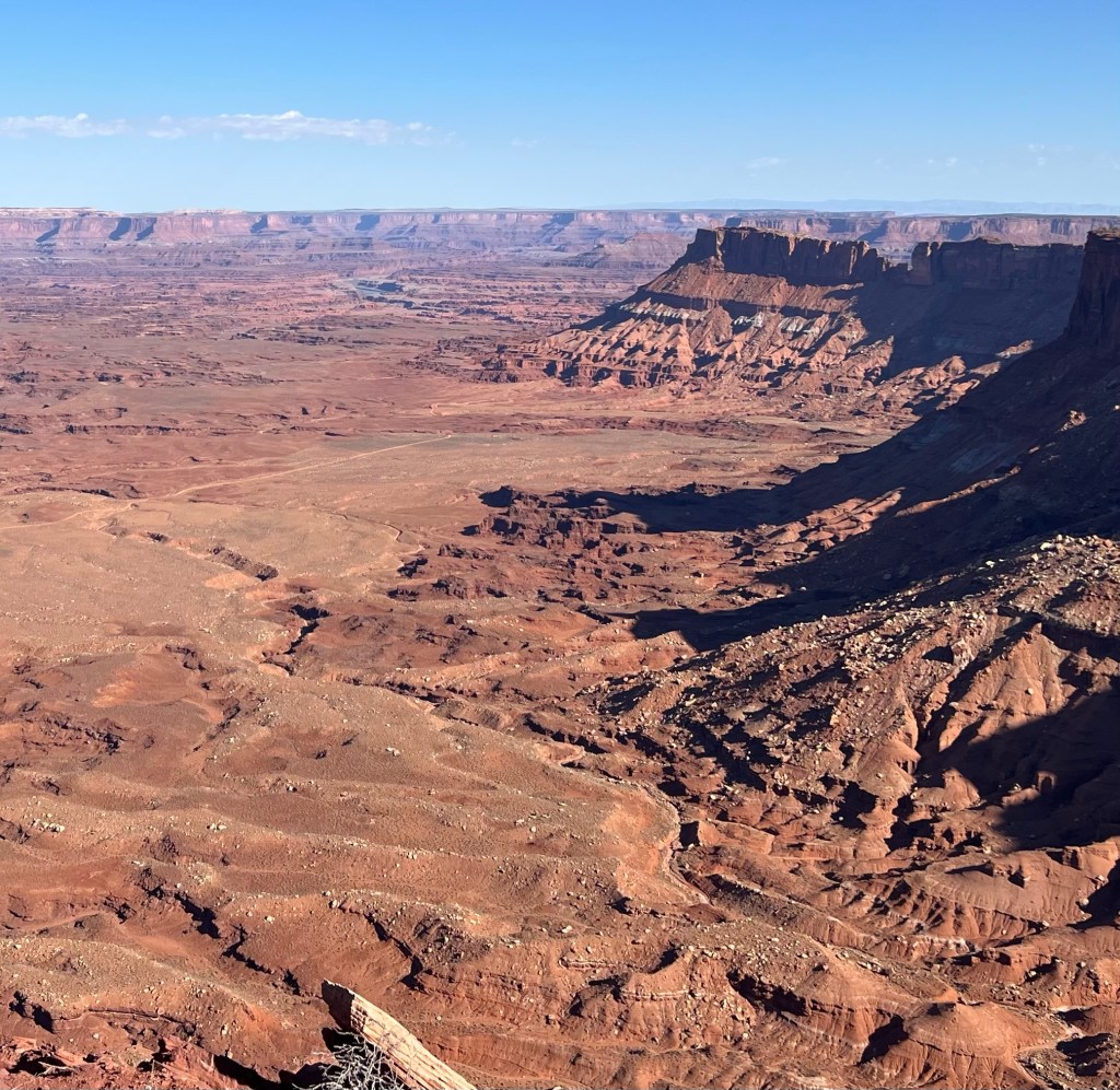
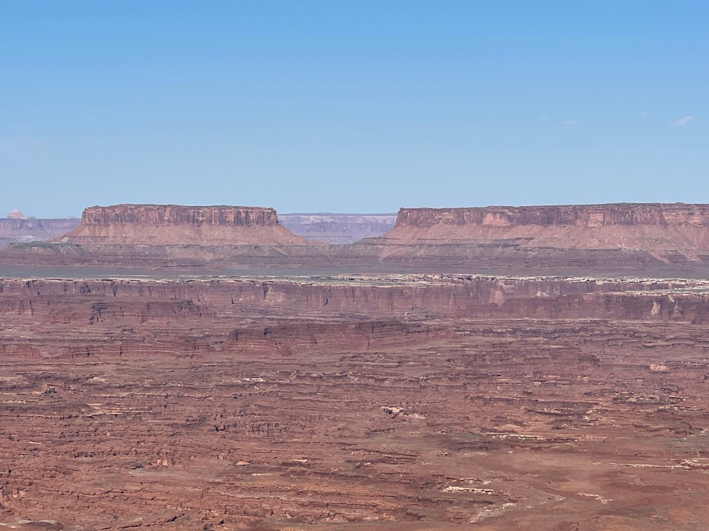
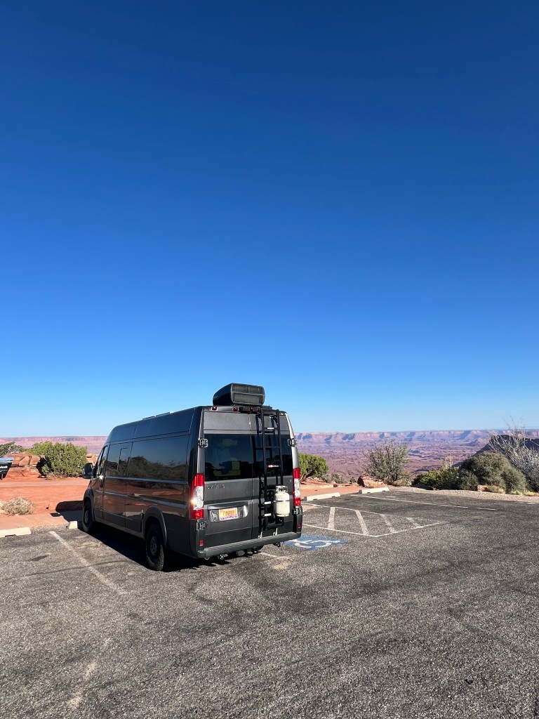
We started our morning with the 16 mile drive to the Needles Overlook. Needles is an area in Canyonlands NP to the south. We were the only people there for quite awhile. It’s literally on the end of a point and the view was tremendous. We could see all of the valleys of Canyonlands from Island in the Sky, the White Rim, the Colorado River, Needles and The Maze. The viewing areas were literally on the cliffs edges.
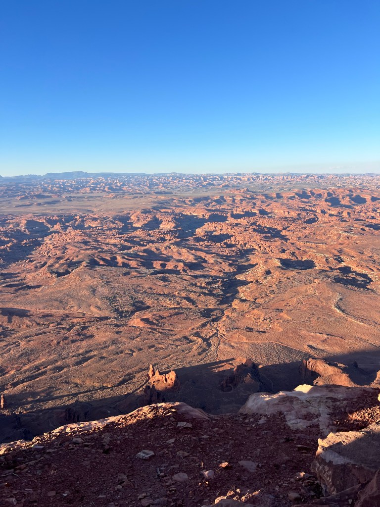
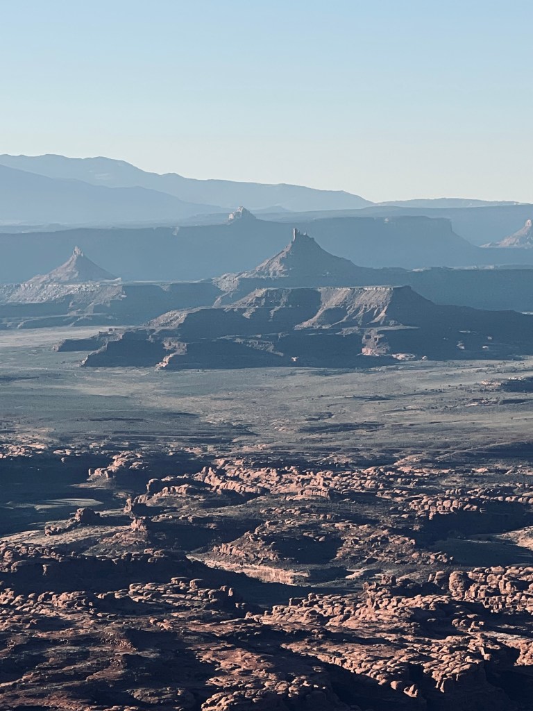
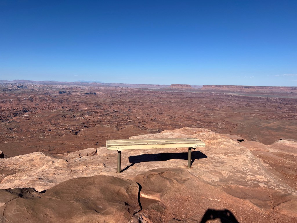
After looking it all over in awe we had our parking lot breakfast. Such a nice view for breakfast. After breakfast we departed heading south toward Monticello.
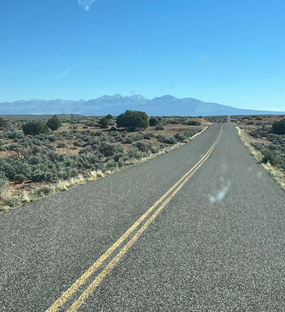
The La Sal mountains
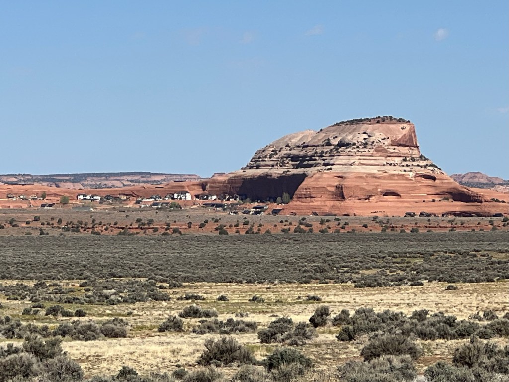
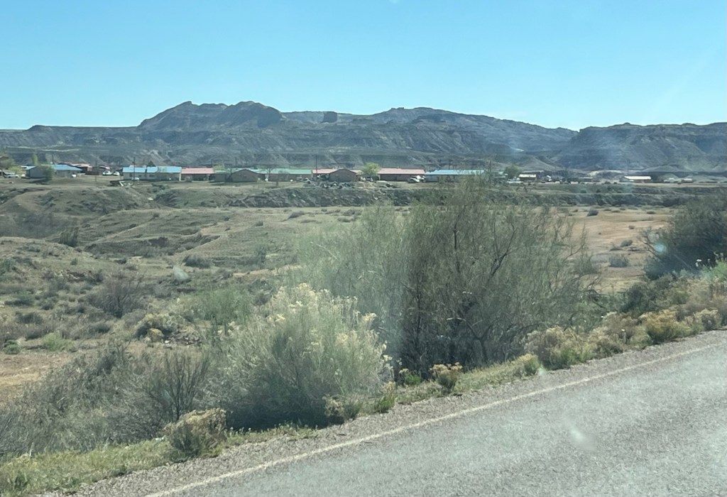
Between the overlook and our campsite last night I noticed this interesting cluster of big houses up against a rock bluff. It wasn’t a town., so I was curious. I had Jim stop so I could take a photo. He looked on Google Maps and it’s called “Rockland Ranch”. Turns out it is a polygamist, fundamentalist Mormon community. There are currently about 35 families living in this isolated area. It’s really quite a beautiful location literally close to nothing… except Fed Ex delivers!
We stopped briefly in Monticello (sello) to stock up the van with water and to stop at the visitors Center for info on some of the ruins, canyons and interesting places in this southern Utah area. The next town south was Blanding. We took a break here to decide where we wanted to explore this afternoon.
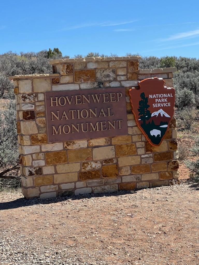
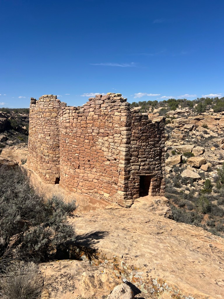
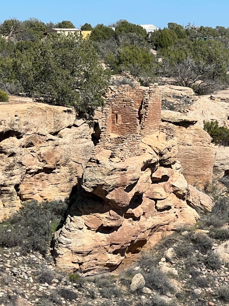
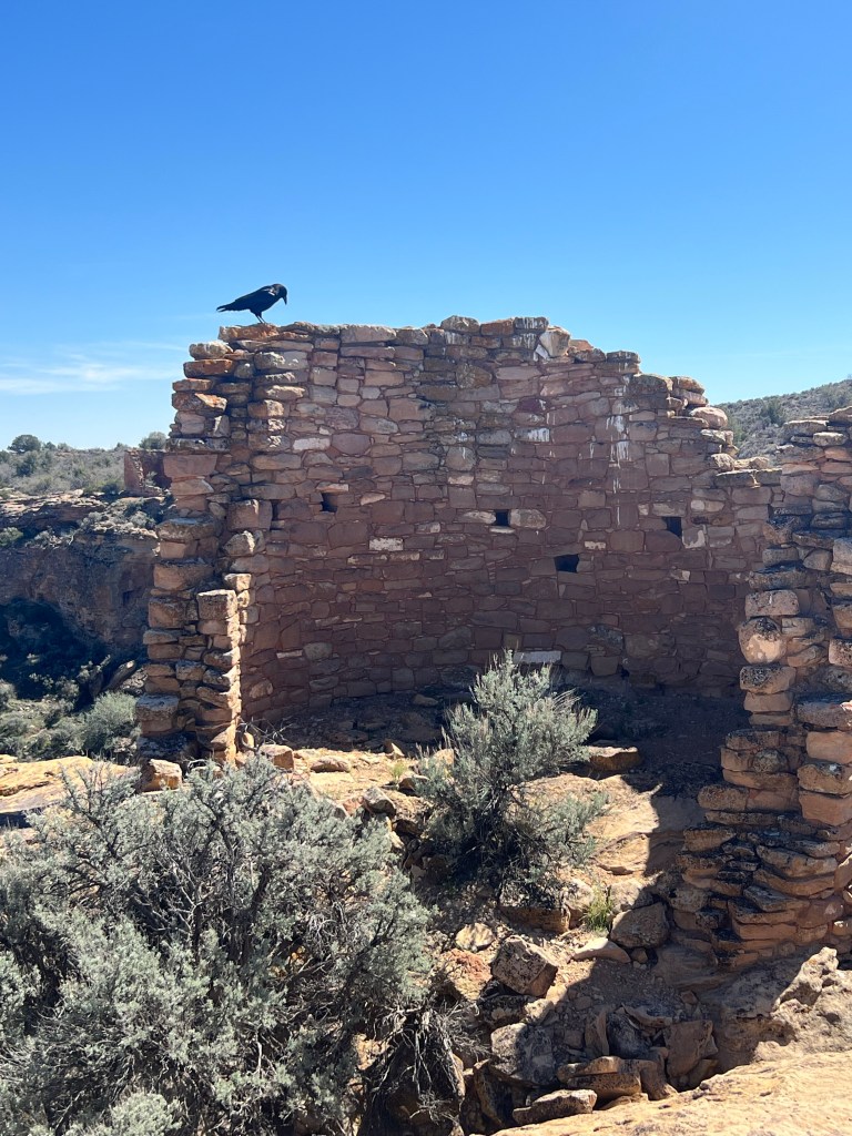
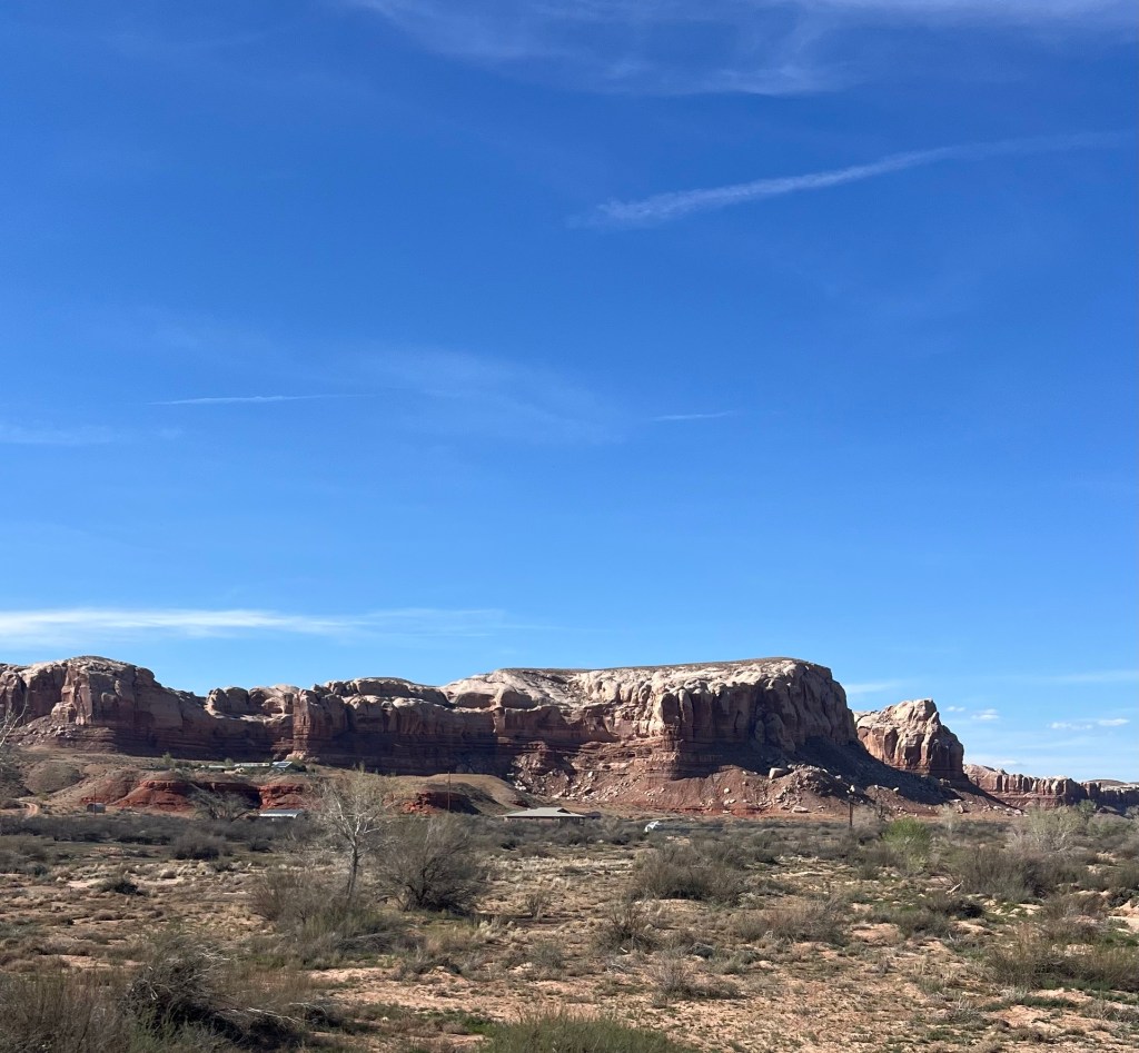
We decided to head slightly southwest to an underrated National Monument called Hovenweep. It’s got some old Pueblo ruins you can easily walk and see. Because it’s somewhat close to Mesa Verde (in Colorado), it gets passed by. Consequently when we arrived there were just a handful of visitors.
The drive to reach it was down some lonely roads on the Navajo Reservation. Only a few homes for miles.
We took the longest loop walk. Today’s weather was warm but not nearly as hot as the last few days. Low 80’s .
These ruins are over 700 years old!

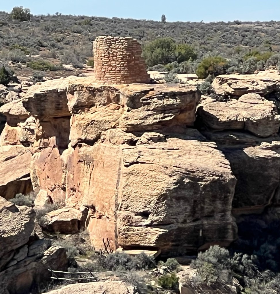
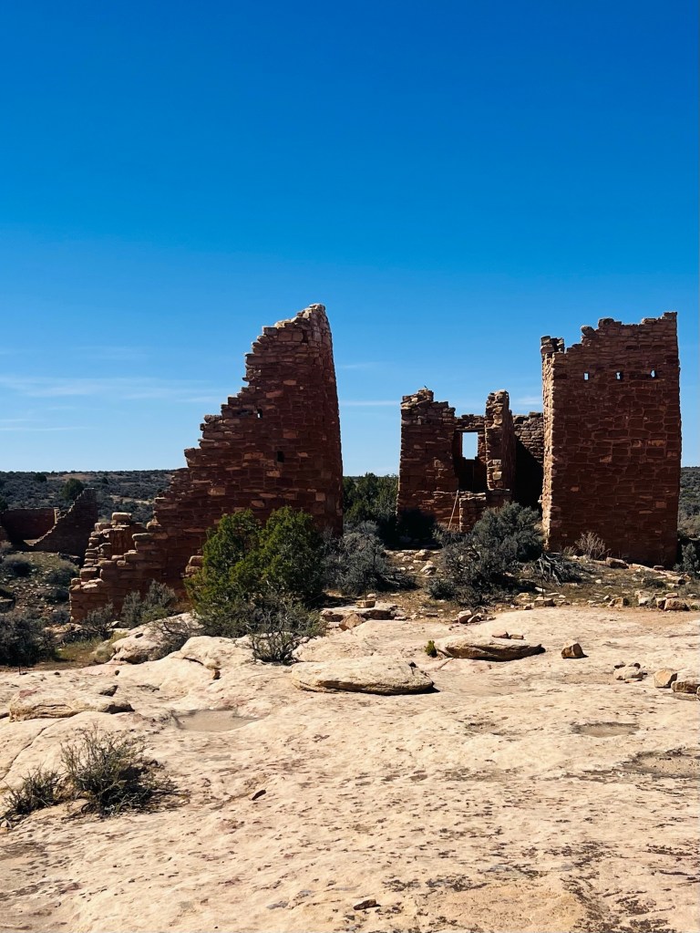
cliff dwellings
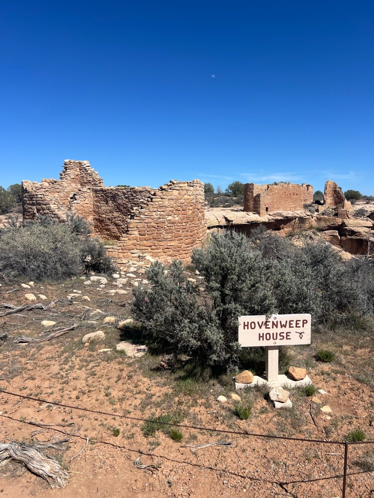
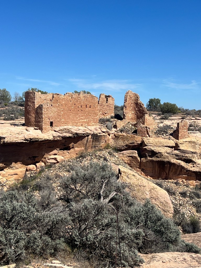
Near 4 corners (UT CO NM Az)
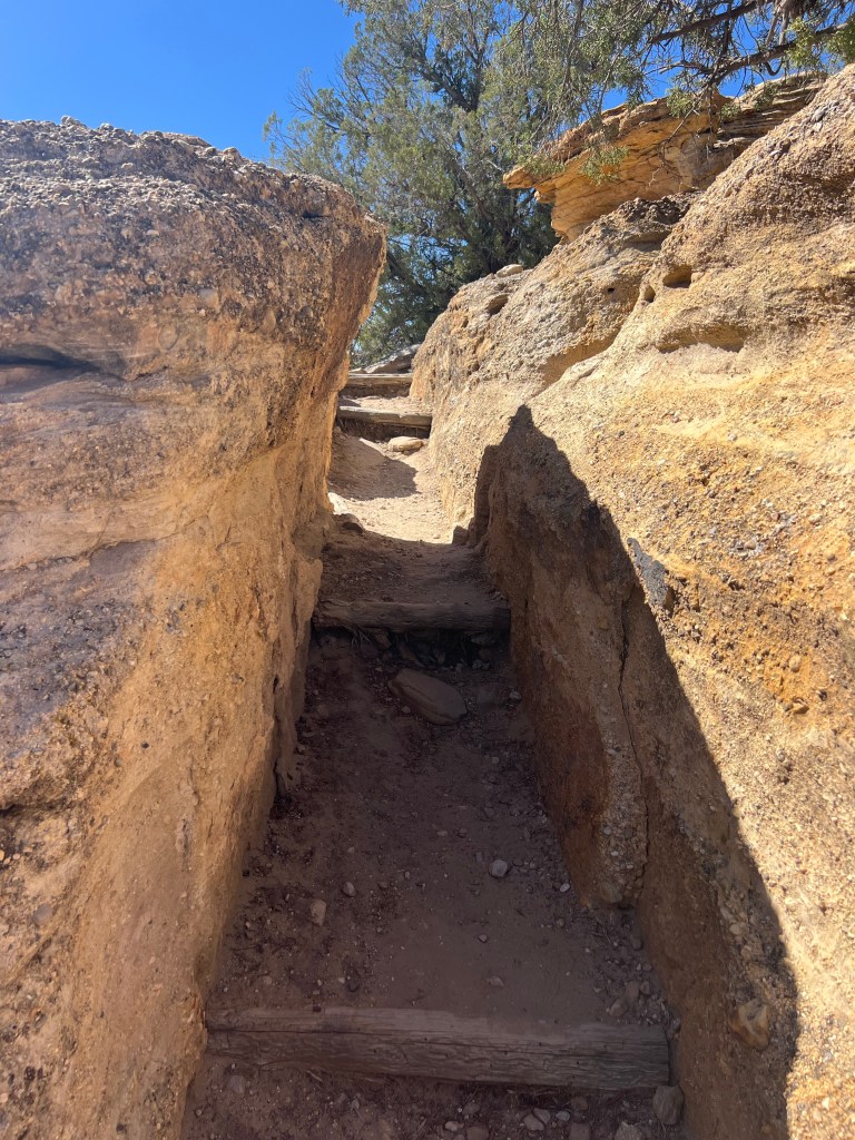
I think our total trail walk was about 2 miles. Mileage today was just over 3 miles. (Not much today). Mostly a transit day today.
We headed south to a town called Aneth where we would meet the San Juan River. From Aneth we headed west to Bluff where we would be camping tonight on the San Juan River in a BLM campground.
The most interesting thing about the drive from Hovenweep to Aneth on the Navajo Reservation was the amount of plastic and glass beverage bottles along the side of the road for 20 miles! I mean hundreds and hundreds of bottles of trash!! Lots of singles littered here and there and then by the dozens or much more. We found it appalling…but also very curious as to the why? Why doesn’t it matter? Doesn’t anyone care enough to clean it up? Does someone or somebodies clean it up annually…if ever? I don’t have a photo but you can only imagine it. This was along the quiet reservation road. It did not look like this alongside the road we took to get to Hovenweep, just outside of the town of Aneth.
The bluffs along the San Juan River in Bluff are very attractive. Our campground has a river put-in that was very busy this afternoon when we arrived. It’s a fairly popular river float with Class II and III rapids. Just my kind of river. Fun to canoe, kayak or raft.
Tomorrow we will be going to visit the Valley of the Gods and Gooseneck State Park. There are also some petroglyphs right at this campground we’re going to checkout.
After sending my last post that was one gigantic whole week, I decided it was too big of a chunk to handle editing and probably to read too! There was a big edit error with day 7 content showing up on Day 1… ha ha… oh well. It has been fixed but not before I posted.
I am going to keep daily posts but they may arrive in bunches. We shall see how it goes. But definitely easier to read one at a time!
