
DAY 18
4/5/26. Easter Sunday
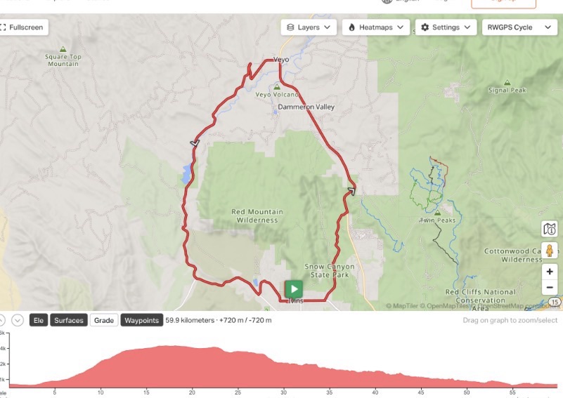
Stats: 37 miles AIS: 3:49. Speed: 9.7 mph. Elev: 2312’
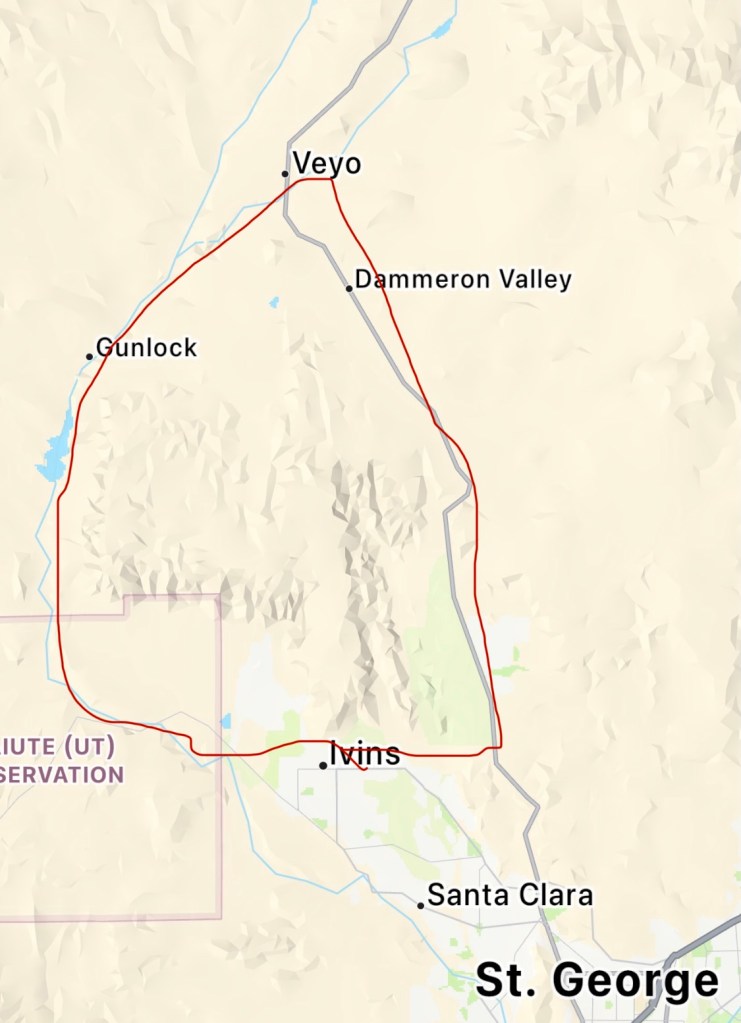
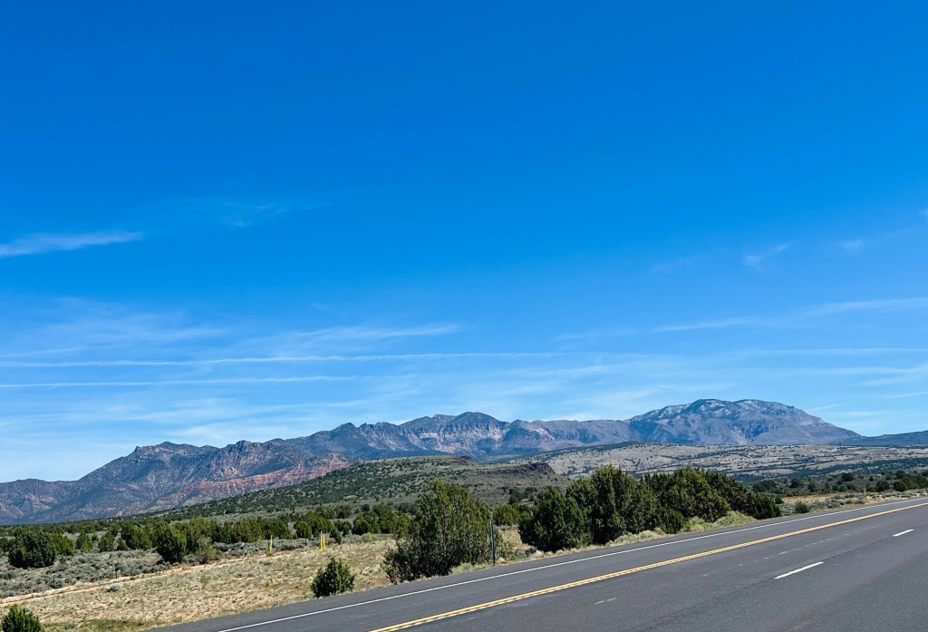
A local’s route. Our longest mileage of this trip. Not quite the most climbing we’ve had but definitely some steep climbing moments and switchbacks. Today’s ride felt like a normal bike ride. Most of it was out in the countryside of St George… the last 5 miles were in the State Park but otherwise tourist and traffic free. Our favorite real ride of this trip. Jim found it on Kamoot. It’s part of a longer route the locals ride. Probably because it was Easter we only saw one cyclist early on then 4 going the other way a few hours later.
We’ve noticed before that Easter Sunday mornings are super quiet traffic-wise. This is always a pleasure so we could also have our moments of reflection and peace on the road.
We started from a city park in Ivins next to a LDS stake house (Mormon church). We tried to park a distance away and leave parking for churchgoers as it was only 8am. Funny thing is when we returned there was still no one around. My question is… do Mormons not have Easter services? If so, when or where?
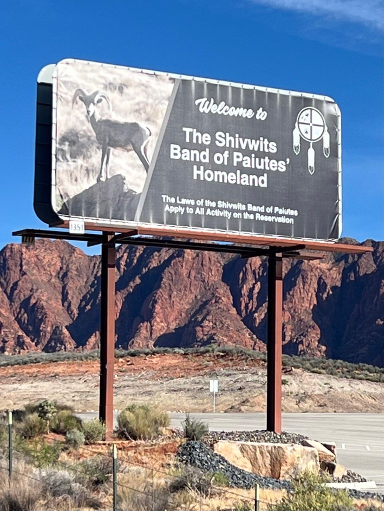
Shivwits Indian Reservation. We started by following the Santa Clara River valley through the Indian Reservation for the first 6-7 miles. It was a beautiful ride in a narrow valley… gradually climbing.
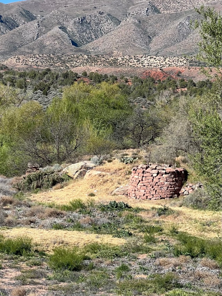
Gunlock Reservoir and Gunlock town. After the reservation we started climbing more aggressively toward the reservoir. The lake itself wasn’t too busy but the campground at Gunlock State Park was full and a little more traffic on the road but still pretty light. About 1.5 miles further up was an interesting little town called Gunlock. The first thing you see is an old gravel mine with all the old equipment scattered about. Pretty ugly gravel graveyard right before the little town. The town was a mix of tiny very old houses… the true locals! Then next door to those folks are the new locals that have built BIG beautiful homes with big yards and fences, etc right next door. Now I’m wondering how do they all get along in this tiny town? What’s a town hall meeting like?
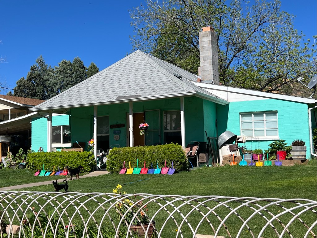
Those are tiny shovels along the edge.
Neat as a pin
Here we go…UP and UP. Leaving Gunlock the serious climbing begins. The kind where you can see the first steep hill coming. It’s the kind of hill that doesn’t curve but just goes straight up a gap in the hills. I’m not sure if I like that or not. And this hill is obviously steep! Here we go. I’m up first and with our new headset communication I can tell Jim that I’m going to make it and that it eases off just a bit before the top… they usually do.
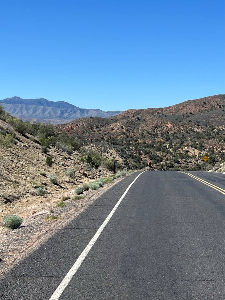
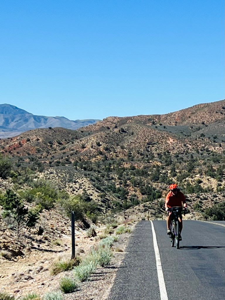
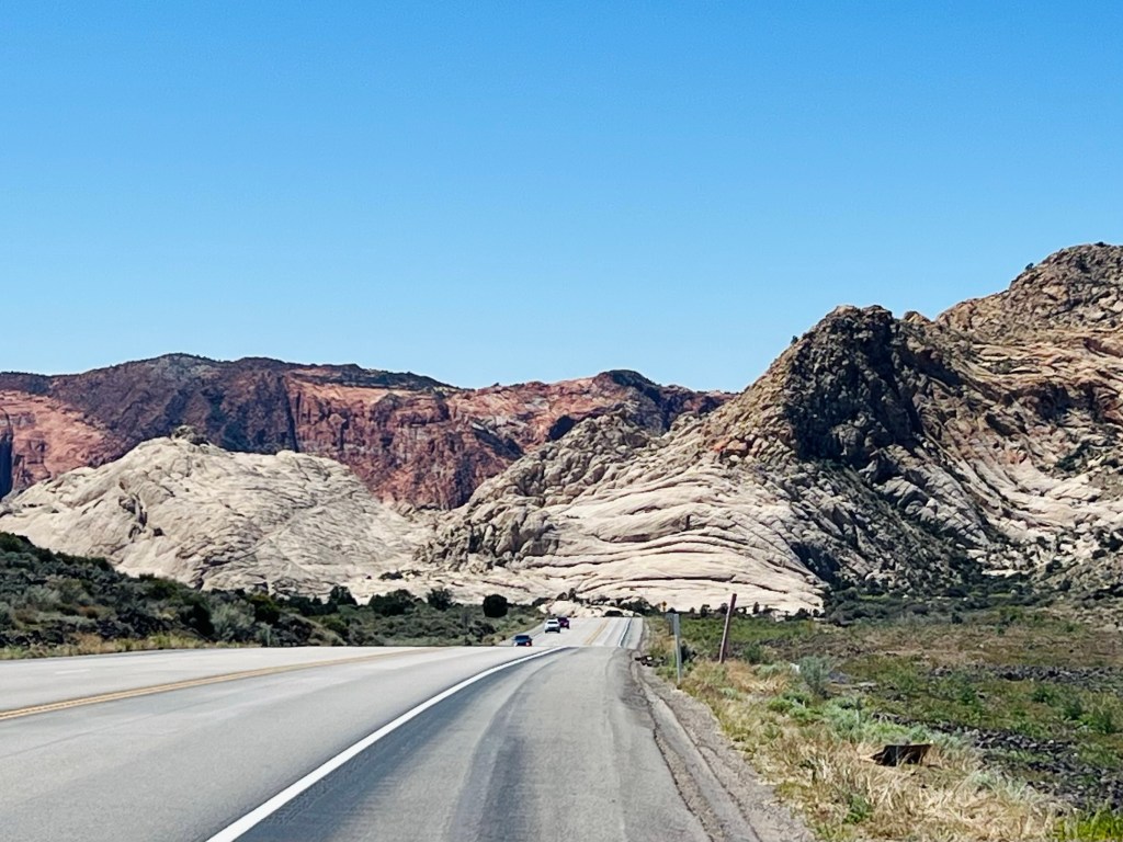
Switchback steeps. However, as soon as we finish that climb we can see the next climb that’s going to switchback two times. We had a mile or so before the switches hit. Time for a couple of energy chews and ready to tackle the switches. I, myself, took two short climbing breaks the last one before the final pitch to the top… it was obviously steeper at the finish. I’ve found if I stop for 30 seconds or less than a minute… let my breathing slow down, then when I start again it feels so much better (for awhile anyway)! I have also gotten much better at stopping and starting on a hill and getting clipped into my pedals.
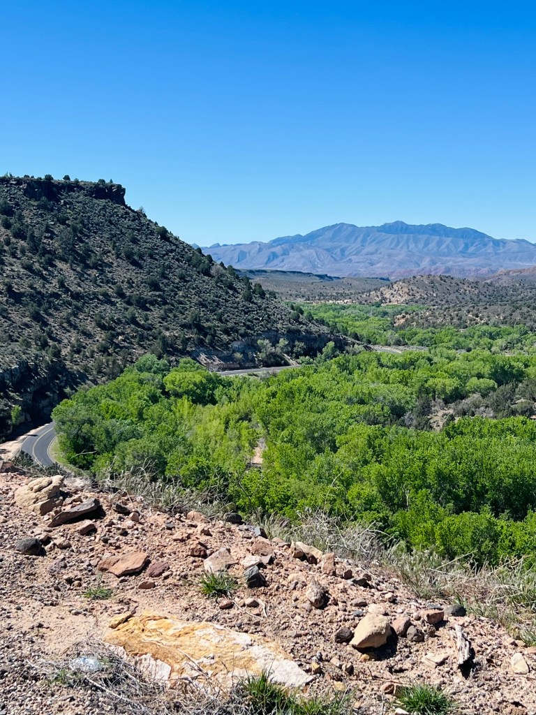
You can see the highway curve below
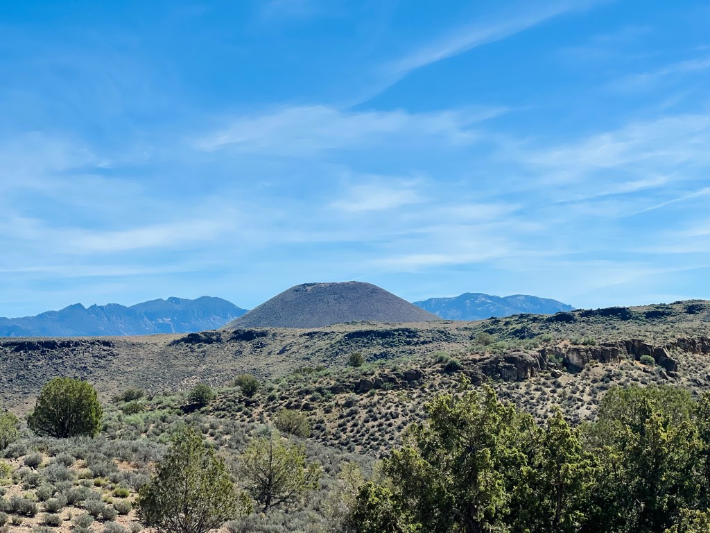
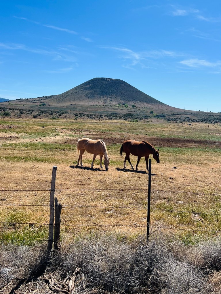
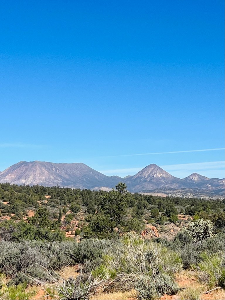
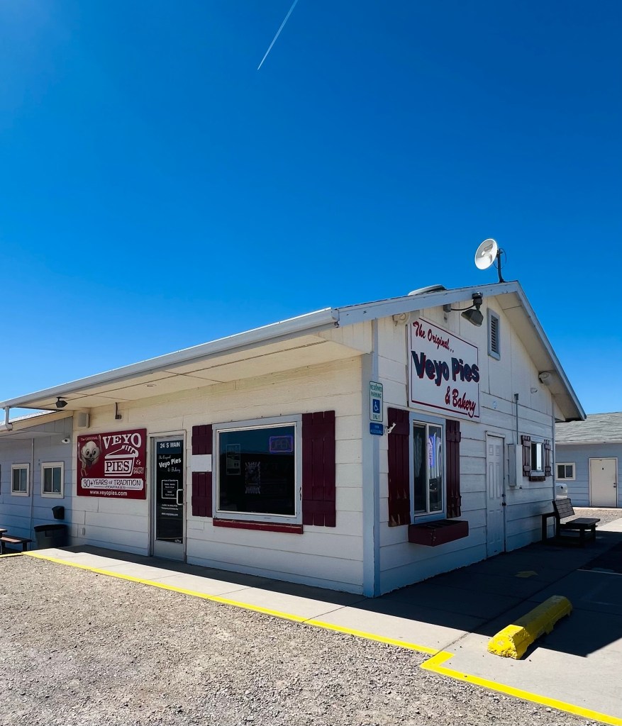
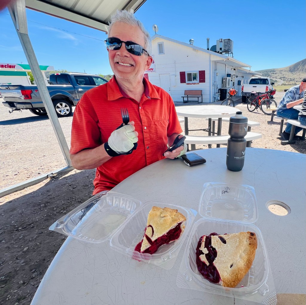
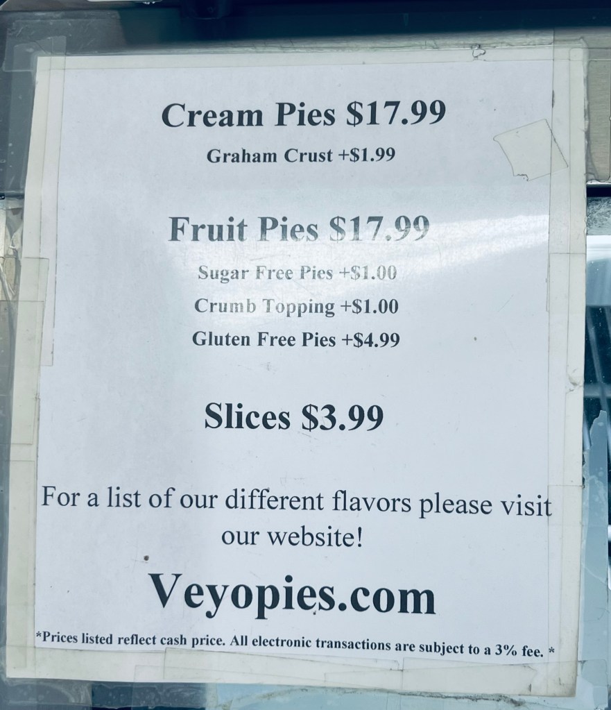
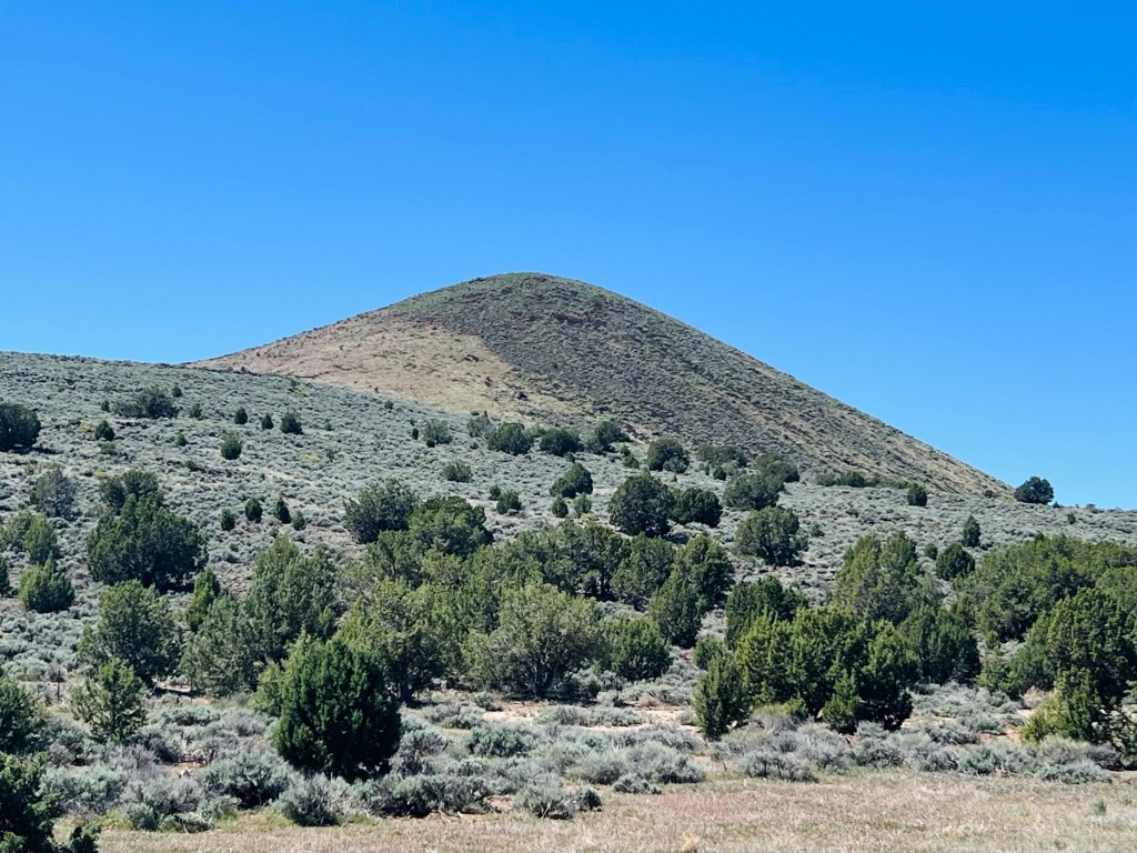
Veyo Pies. Before we hit the switchbacks we had a view of the 3 old volcanos earlier. I had to ask myself if I was in Oregon? Sagebrush, lava and volcanos. Once we got to the top of the switches there was another volcano cylinder…Veyo Volcano… in front of us. We would end up riding 3/4’s of the way around that particular one. Another mile to the town on the junction with Hwy 18. Hwy 18 was what we rode s bit of yesterday. It’s famous for its Pie Shop. I didn’t think it would be open… but boy was I wrong. Pies are good Easter Dinner food. They also sold individual slices. I am not a pie lover but we each had a piece. That was “The Best pie” I’ve ever had. Maybe I was hungry… that helps, but the pie crust was amazing! I usually leave the end of the pie but not this pie crust. So good!! And the flavors we chose? …Raspberry rhubarb and Raspberry Cherry.
Cars were stopping for Easter pies as you can imagine. Going out the door in 2’s and 3’s.

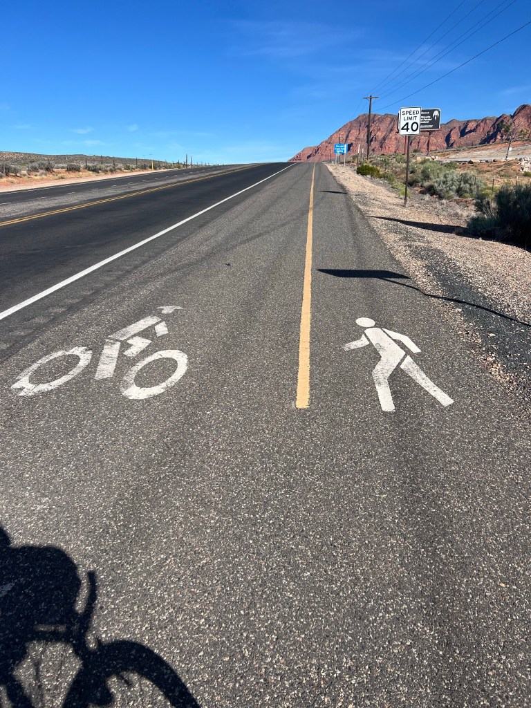
Looking forward to downhill. After Veyo pie stop we thought we’d descend immediately but we had a couple more smaller, easier climbs on the highway. Traffic was busy now (about noon) but the shoulder was wide and clean. We had the Pine Valley Mountains on our left and the volcano on our right.
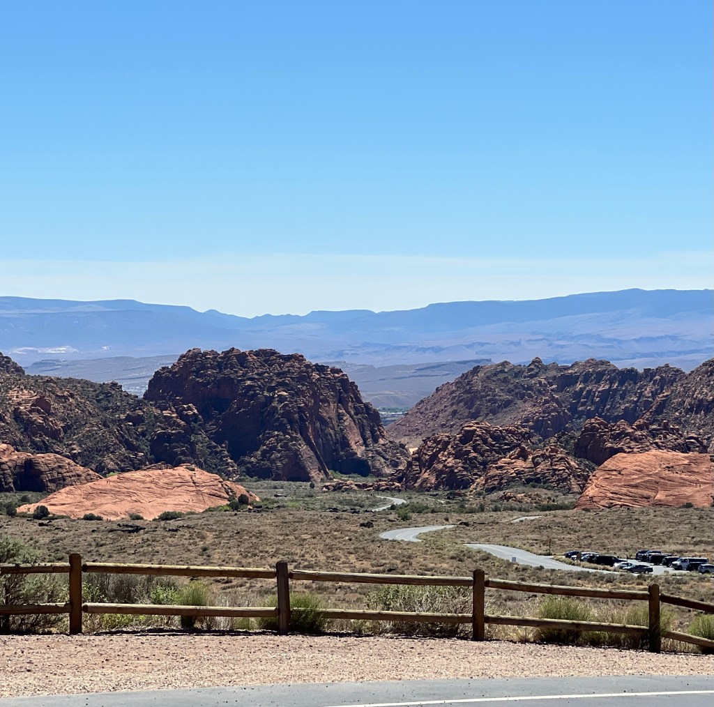
Let it RIP all the way down! Finally we summited and could enjoy the steeper fly down. This time we turned at the top of the Snow Canyon State Park that we rode up yesterday and were looking forward to flying down! We stayed on the paved road (no bike paths) and let it go all the way to the bottom. Boy that was fun! Just a right turn and a mile to go back to our van. Great ride!
Where to camp tonight? We originally were going to stay a third night up on the hill overlooking Snow Canyon but our plan tomorrow is to hike a trail in Zion Canyon. We decided to go back and get our site markers (chairs and rug) and head back to the wind gale camp spot above La Verkin. So we drove back up onto the windy site we had a few days ago. Still a bit windy… probably always is. But not horrible.
Our plan tomorrow is to get out of camp at 6am. It’s about 15 minute to Springdale and parking. We’re going to take the shuttle bus and hike the West Rim View trail. Trying to avoid the madding crowd by leaving early… also find parking😜
