Day 9
6/29/26 Monday
Buckle your seat belts… today was a doozy! Beautiful beautiful beautiful
Mosquitos Galore
Nice camp spot last night. It rained all night. We seldom stepped foot outside at this camp because the mosquitos were thick. I did a video this morning from my window… yikes! Many times when you are “in town” the mosquitos are not as bad but Ft Nelson defies that expection. Just as bad. They were even inside the grocery store. We are on the Muskwa River which is notoriously known for large mosquito population. Wear bug spray they say! (There’s a video of the mosquitos if you’re reading this from the website)
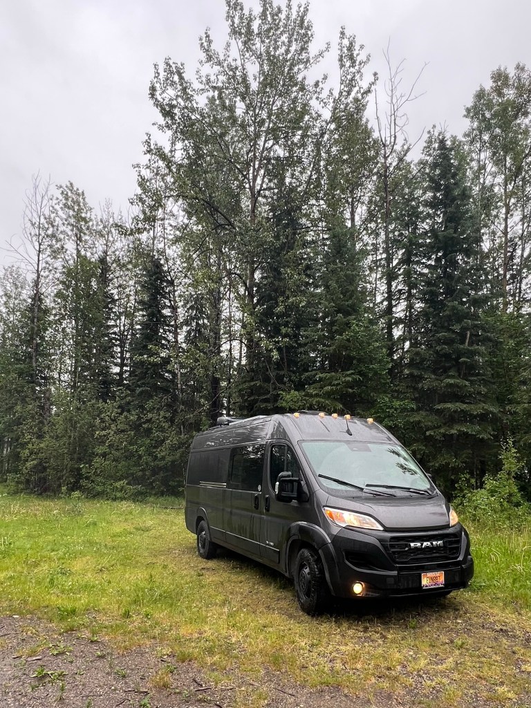
Headed to Liard Hot Springs today. Luckily weve got a campsite reserved for tonight. We’d like to stay longer so we’re hoping to get a first come-first serve spot for tomorrow too. There is also an overflow lot across the road we could potentially get.
Bears on the side of the road
Driving the highway this morning we seem to be on “black bear Highway”. I’m going to keep a bear tally. 2 black bears today.
Litter or lack thereof
You can’t help but notice how clean this highway is from litter. There are many little pullouts along the way with litter “bins”. Seems to be working. Good work AlCan highway!
Dropped into Jackfish Creek and the trees changed to a big Trembling Aspen forest for a little while. It was really pretty in this area…lighter and airier so to speak. I had to look up the difference between trembling and quaking Aspen. No difference… just semantics. Must be BC Canadian to be trembling.
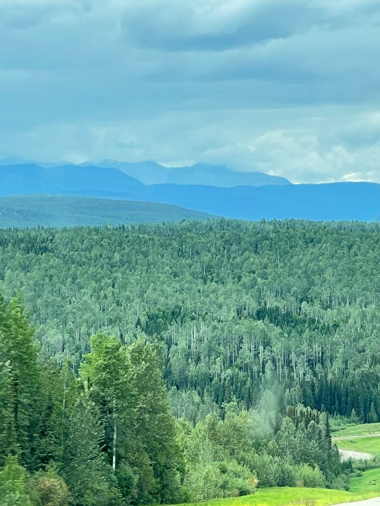
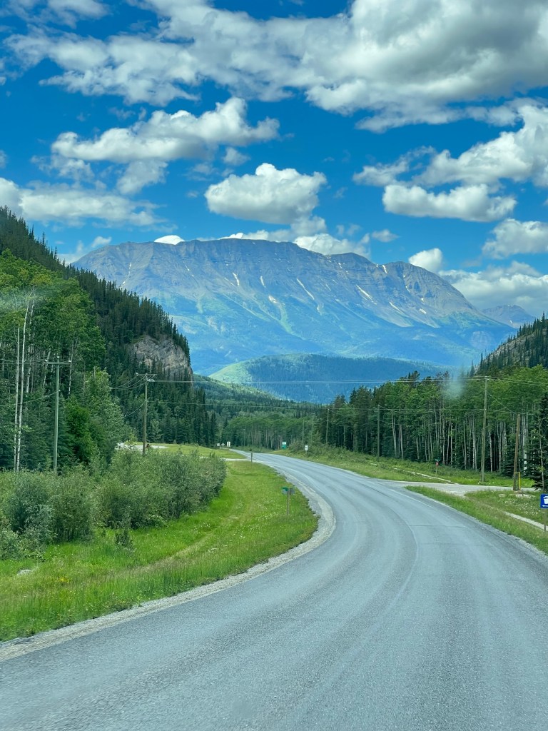
Finally the weather cleared up and the clouds lifted and some sunshine has come out!
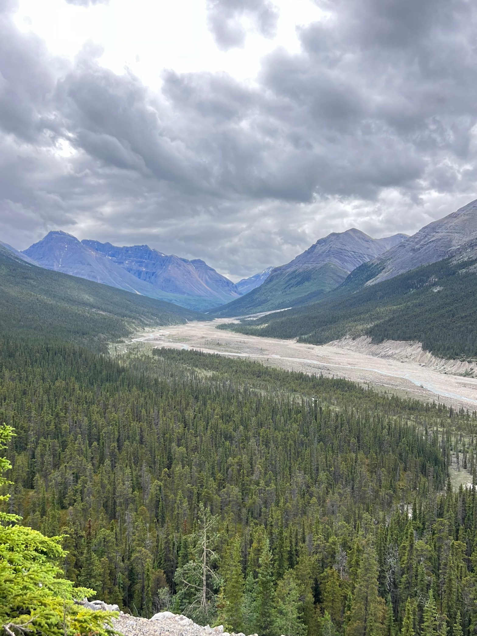
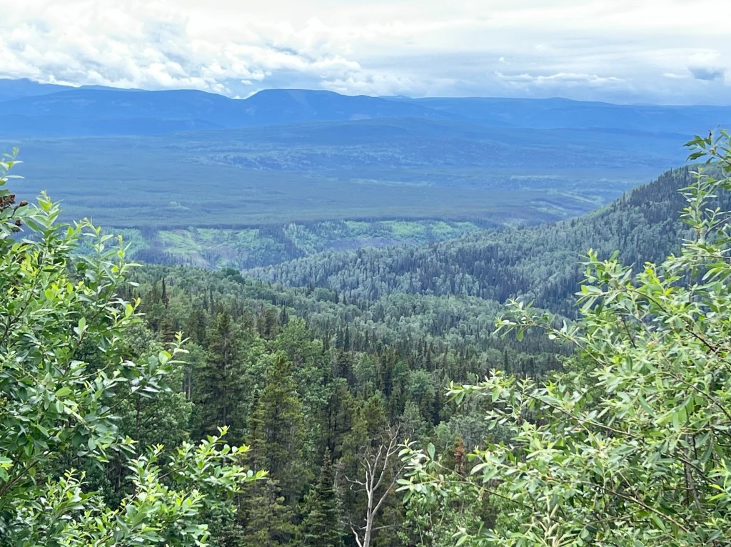
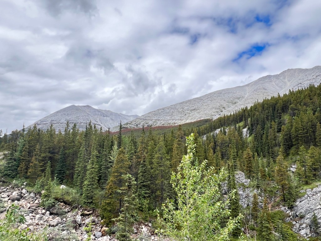
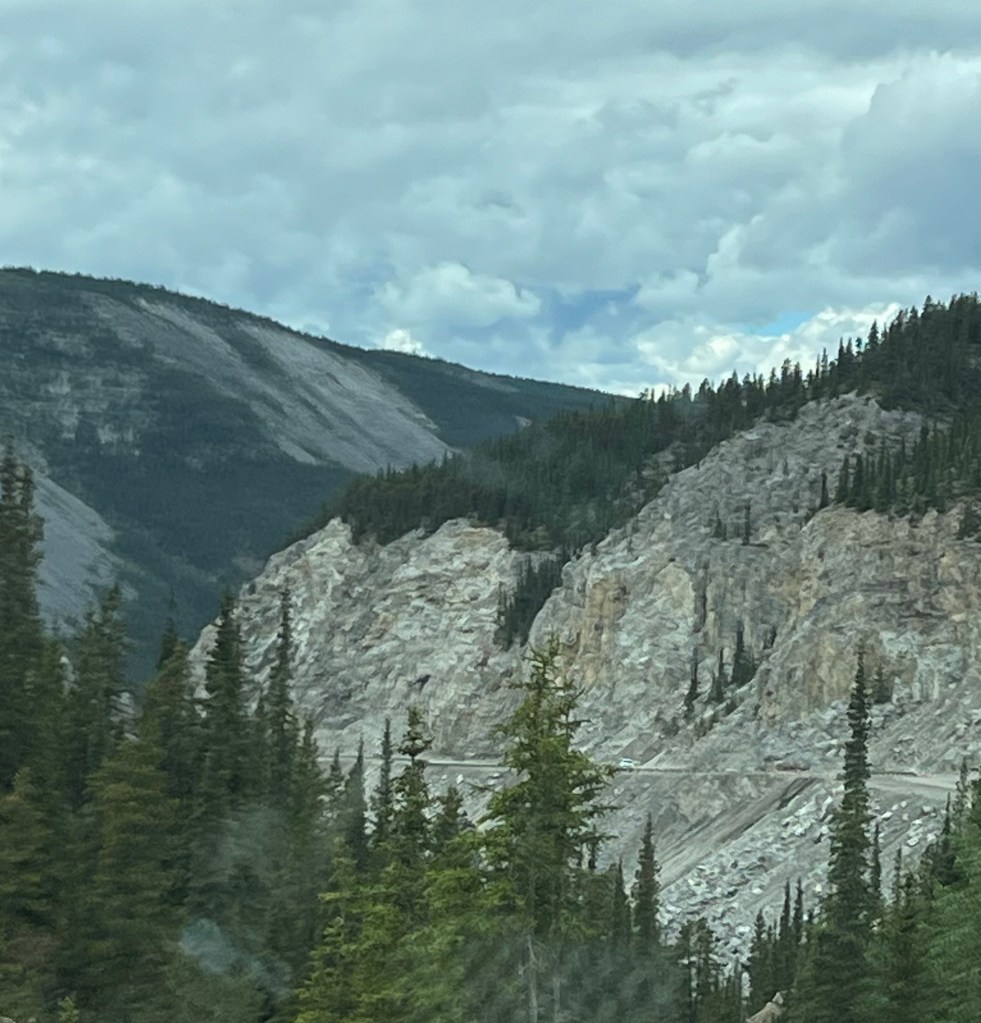
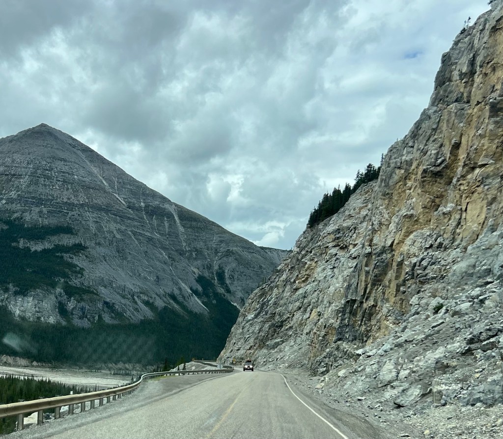
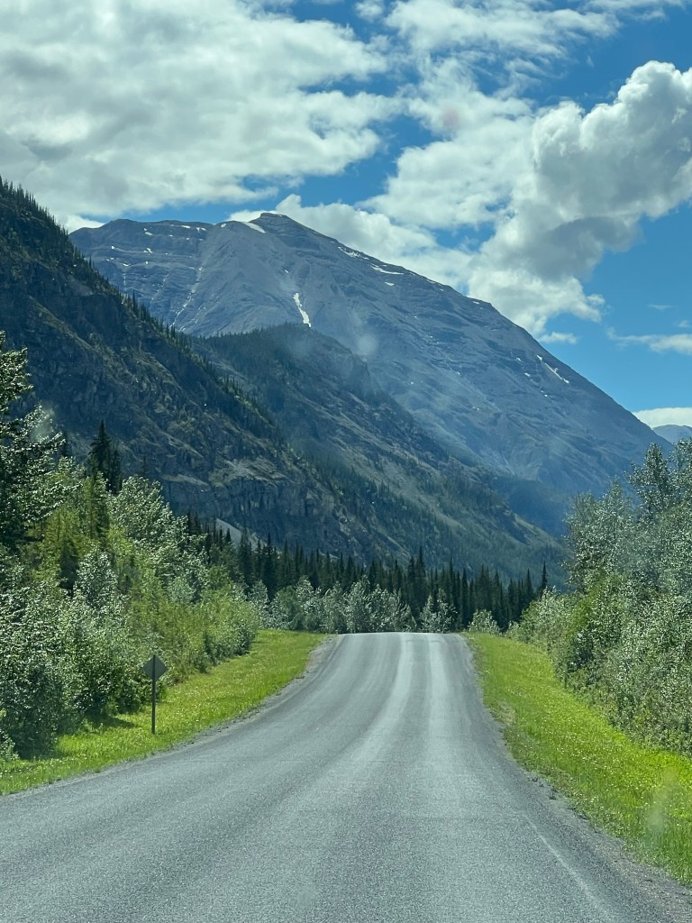
Steamboat Mountain in the Northern Rockies
Now we are entering this new range of mountains they call the Northern Rockies because they are in northern BC. The views are tremendous in the distance. This highway does not have scenic turnouts. There was a turnout at the summit of Steamboat but the priority was brake checking for semis. I snapped some pictures from inside while driving.
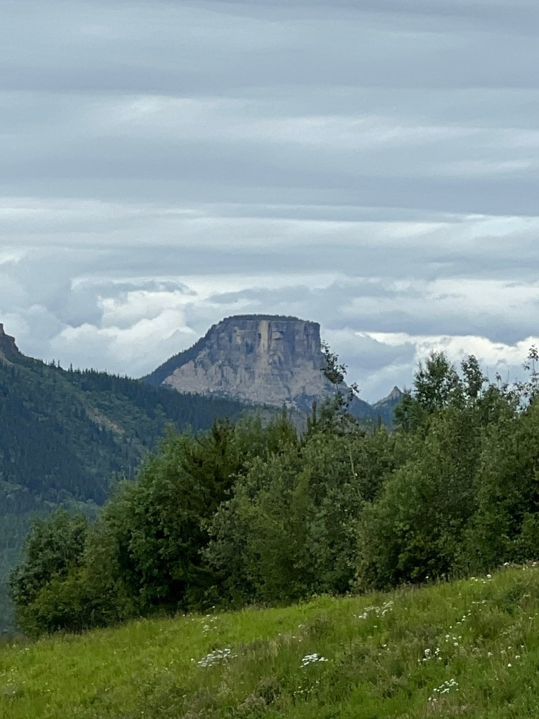

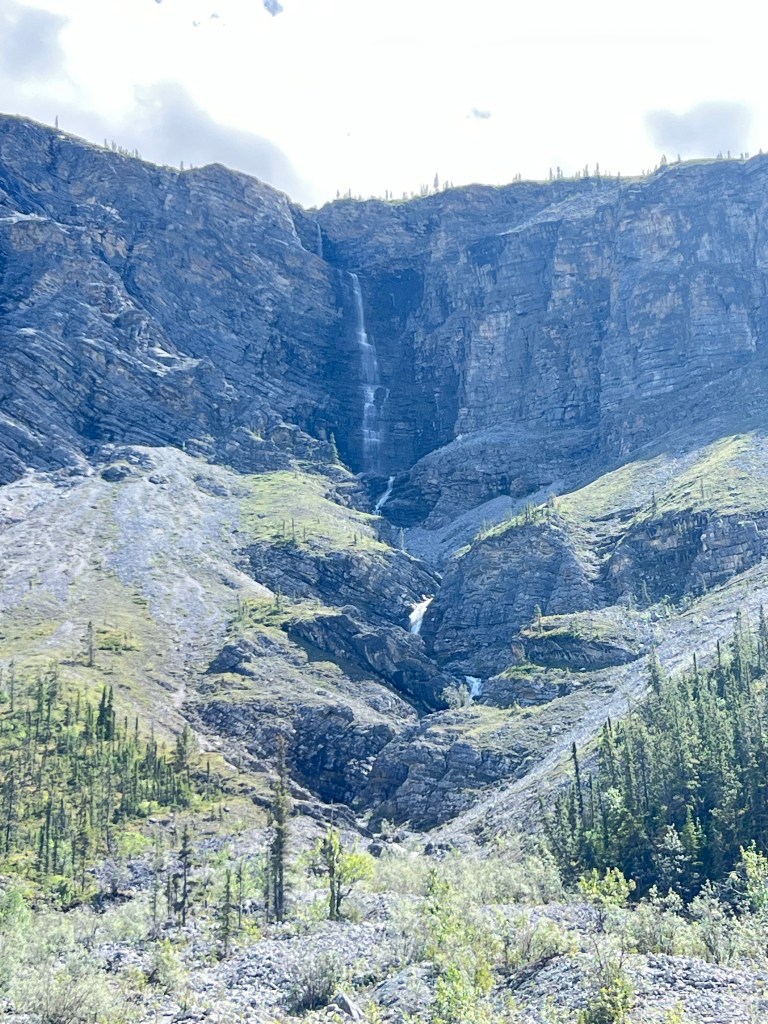
Stone Mountain Provincial Park is the next area we drive through.
Janelle from Smithers BC is solo bike packing. She is the cutest. Quite capable with camping and bicycle maintenance too.
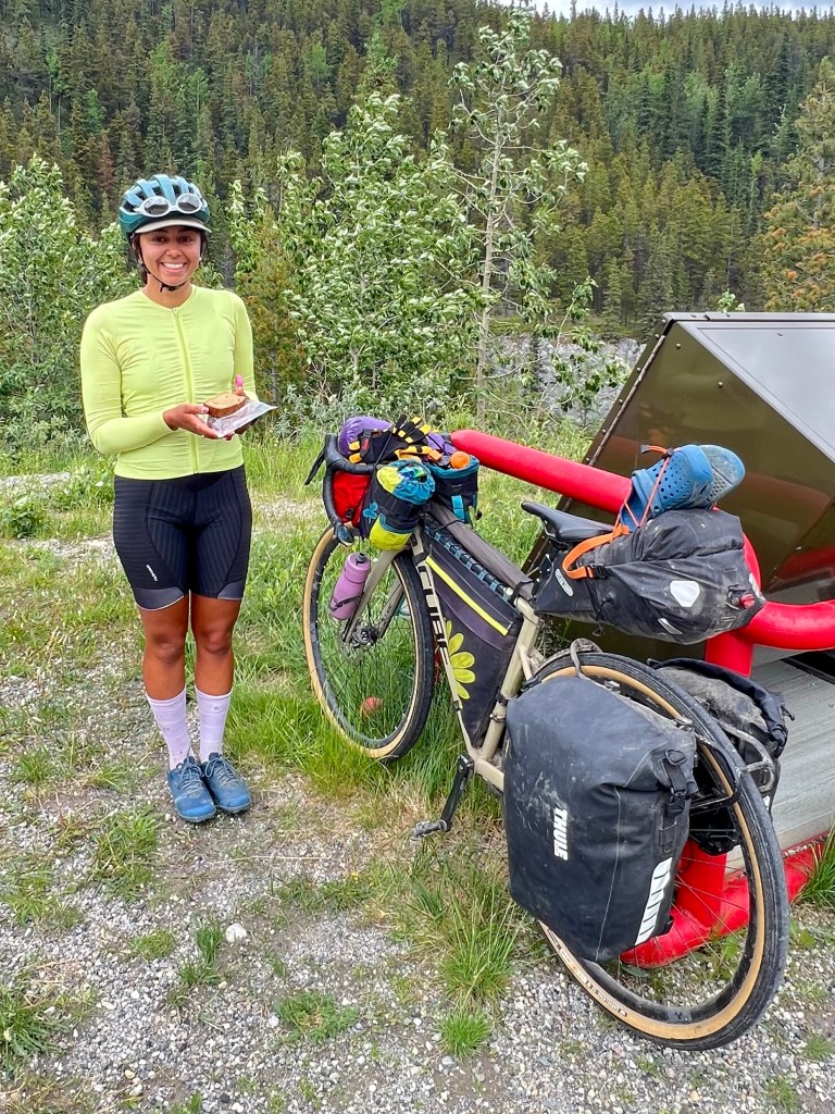
Janelle is traveling solo from Creston BC to Watson Lake. Something like 23 days.
We have seen a few bike travelers. Mostly in pairs. This is the first we’ve met at a pullout with a chance to visit. I gave her some oranges and banana bread to refuel at the top of her mountain climb.

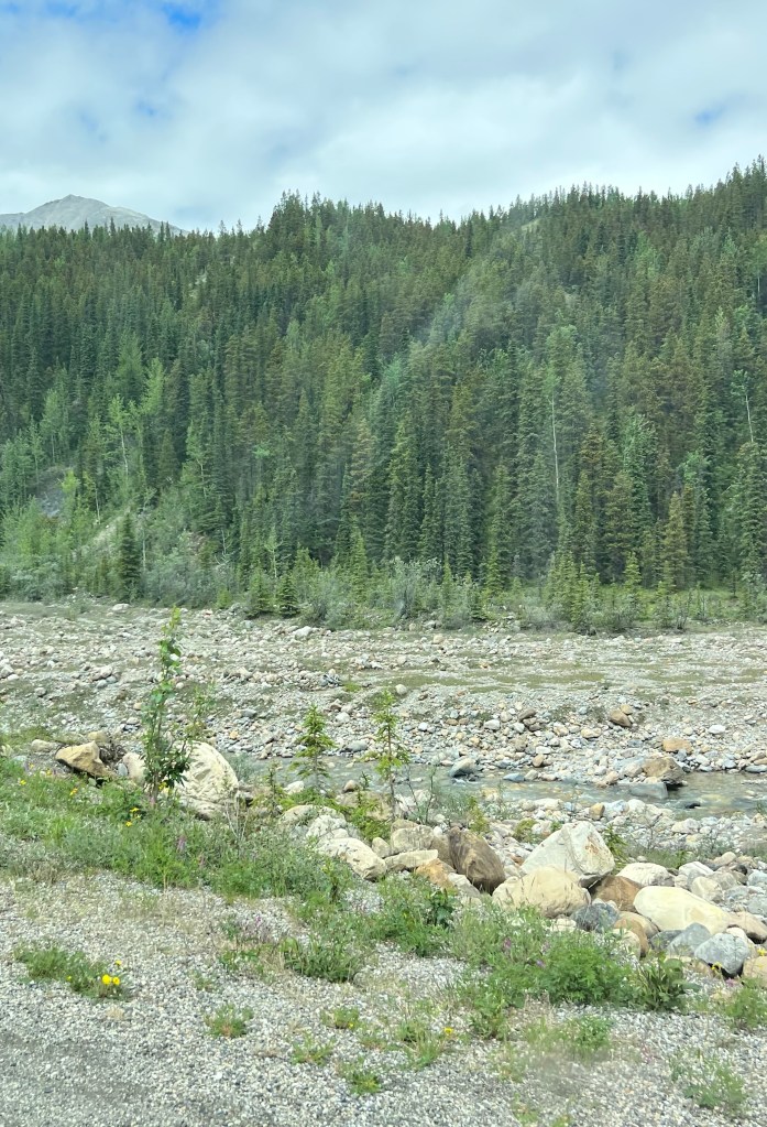
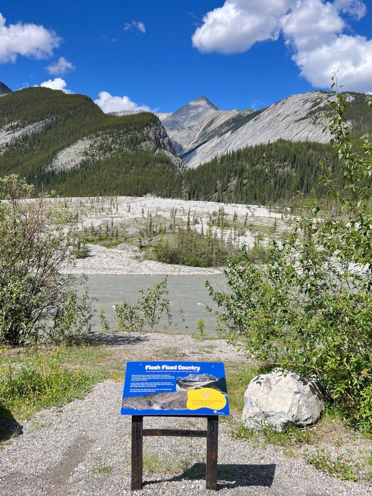
Toad River valley. Running high and cloudy. Stone Mountains jut straight up.
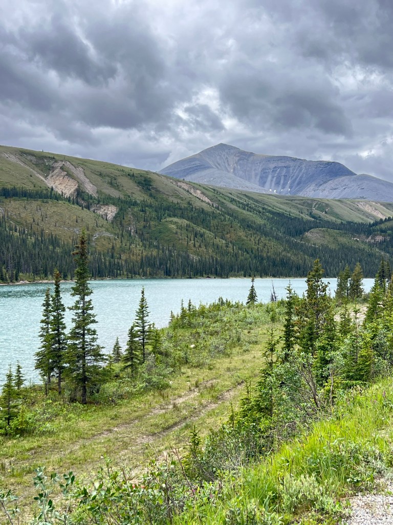
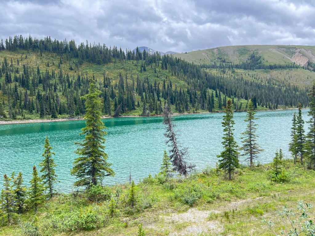
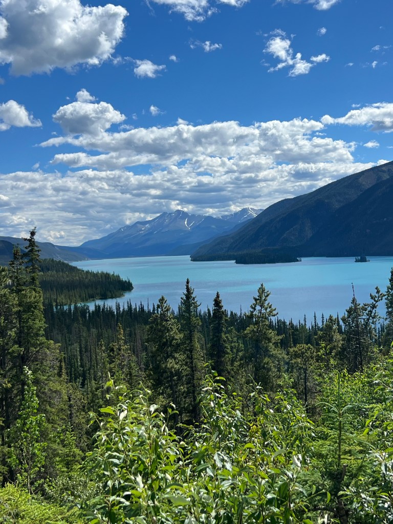
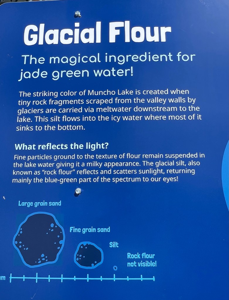
Muncho Lake. Described at the Art Gallery as turquoise then jade green colors. It is beautiful.
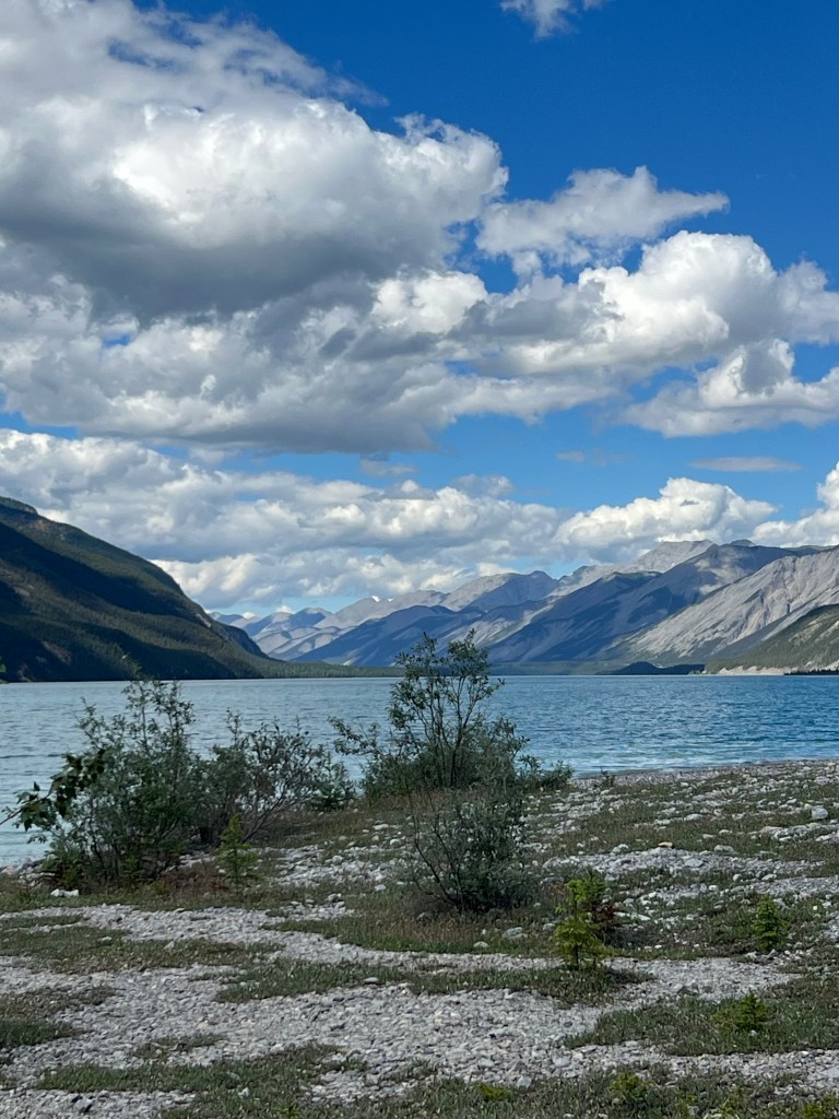
So many colors along this lake
Holly and Guy from Park City UT. We met them bicycling in Jasper area. We were following the same trails and had a chance to visit a bit. Kindred spirits. Holly use to teach at Carroll College in Helena years ago. We may meet up again between here and Whitehorse.
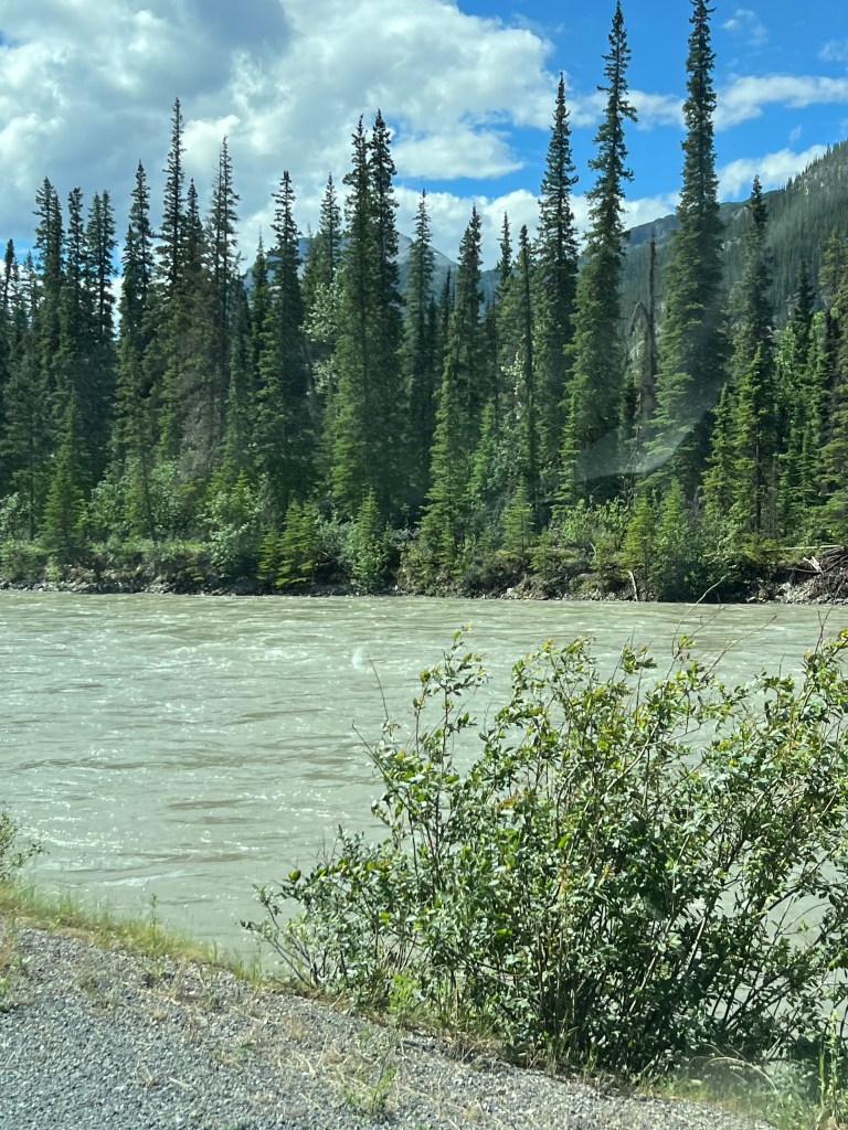
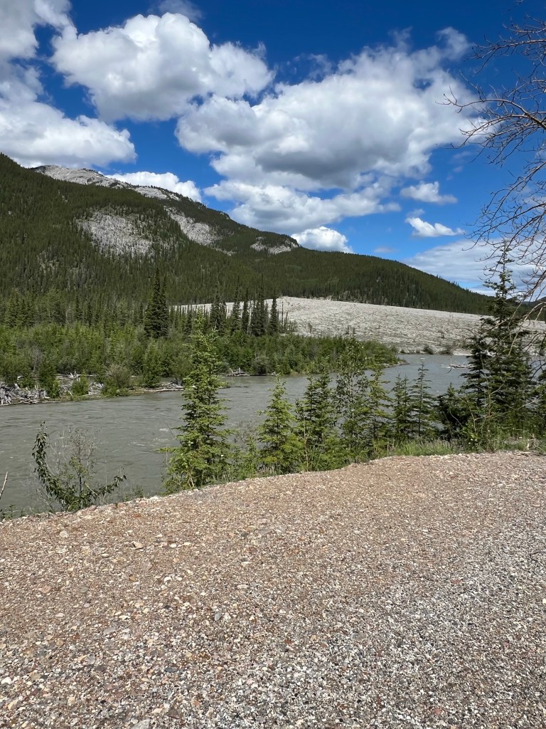
From Muncho Lake it drops into the Trout River Valley. This is a whitewater Class II/III river. The river is a milky light blue color.
The Trout then flows into the Liard River. It’s a big river valley. It’s a huge river.
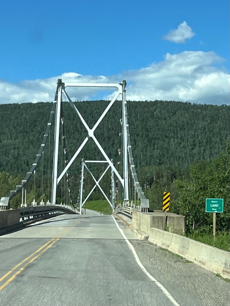
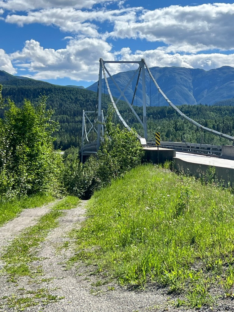
Suspension Bridge over the Liard River
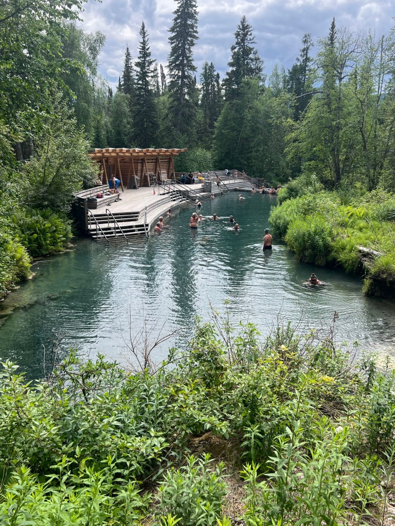
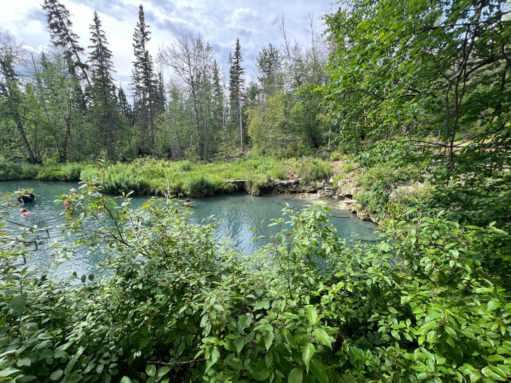
Liard Hot Springs.
Our camp for the night. It’s a nice camp spot. Basic campground with pit toilets. There is water but you have to boil it. The entire campground is surrounded by electric fence to keep bears and moose out.
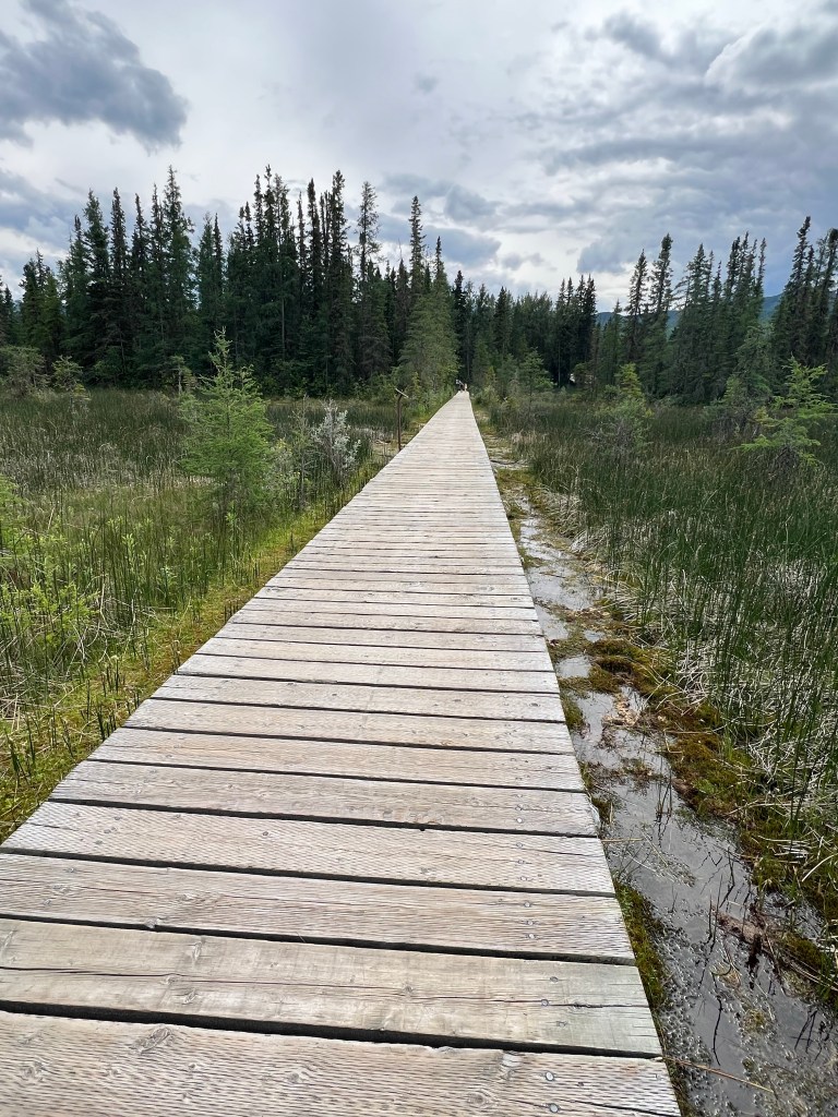
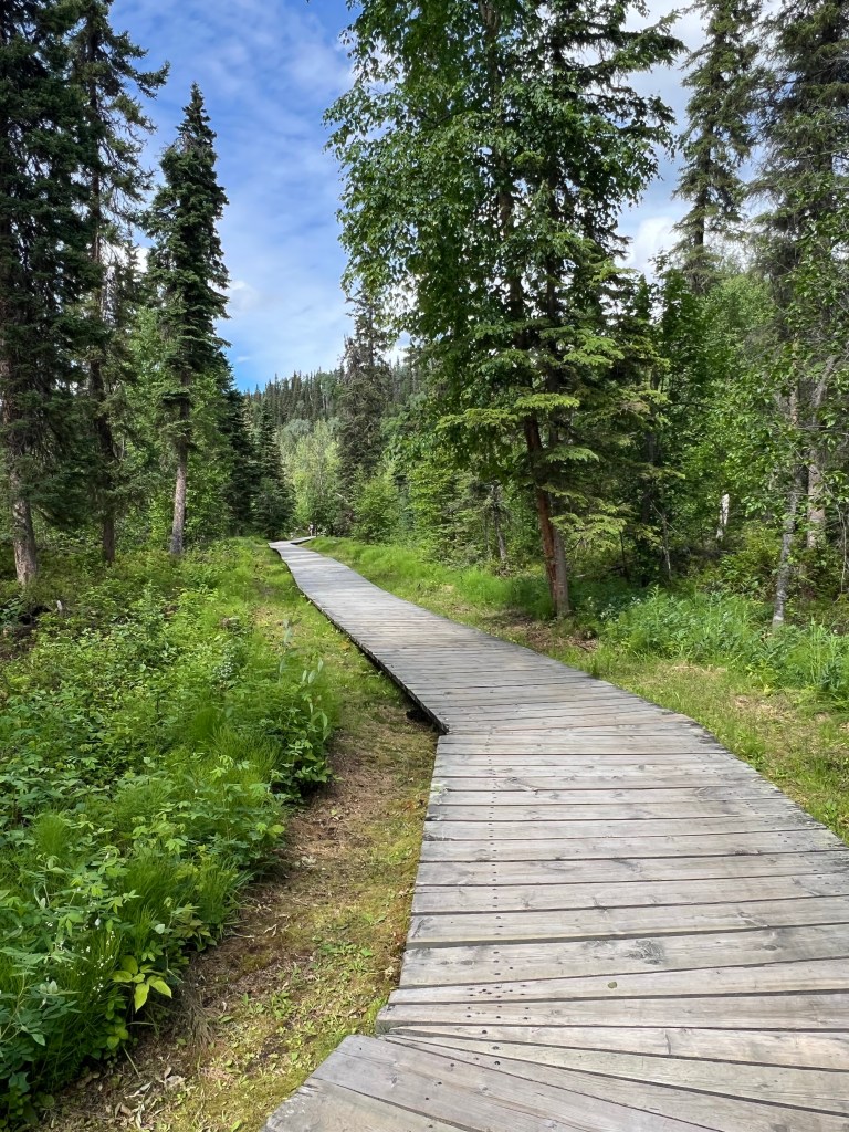
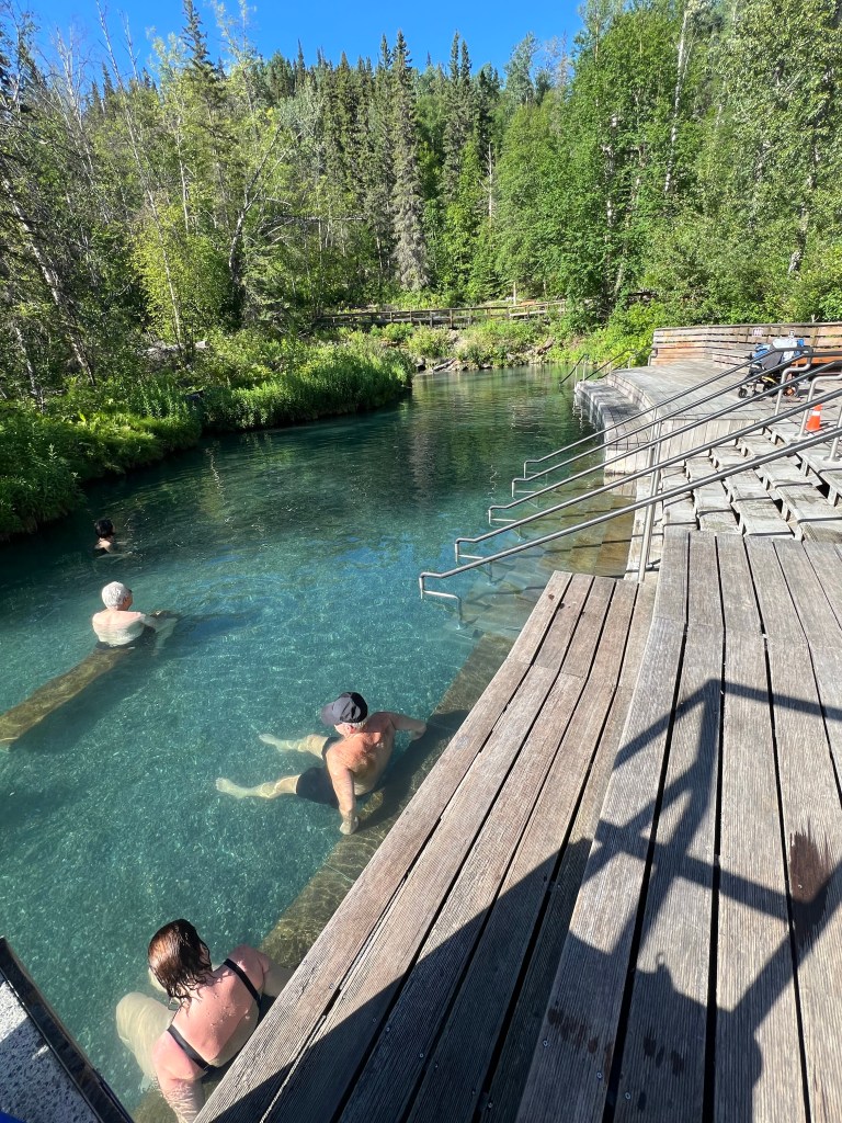
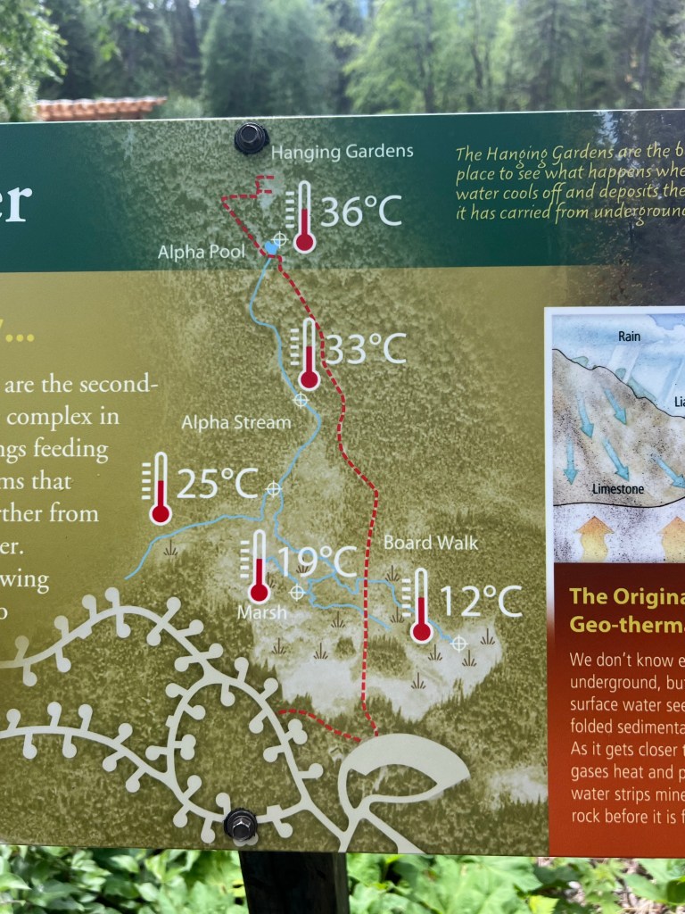
After dinner we took the boardwalk walk to the hot springs. It is outside of the electric fence… so no food or drink except water. What a beautiful natural hot springs. They have changing rooms and nice pit toilet structure. But the springs themselves are natural all around. One end is very, very hot. Too hot for me. Then it gradually cools off but very warm and comfortable in the upper pool area. The bottom is all pea gravel so very comfortable to walk in shoeless. Then there is a lower pool area that is all natural and as it gets further away it gets cooler until it’s a very narrow area with fallen trees overhead. Eventually it winds its way further back until a colder small stream flows into it. Definitely colder but not frightening.
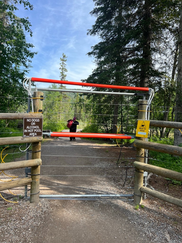
This is the entrance to the hot springs
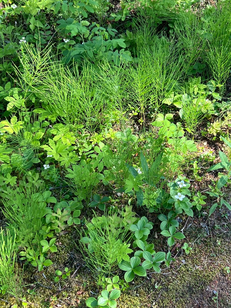
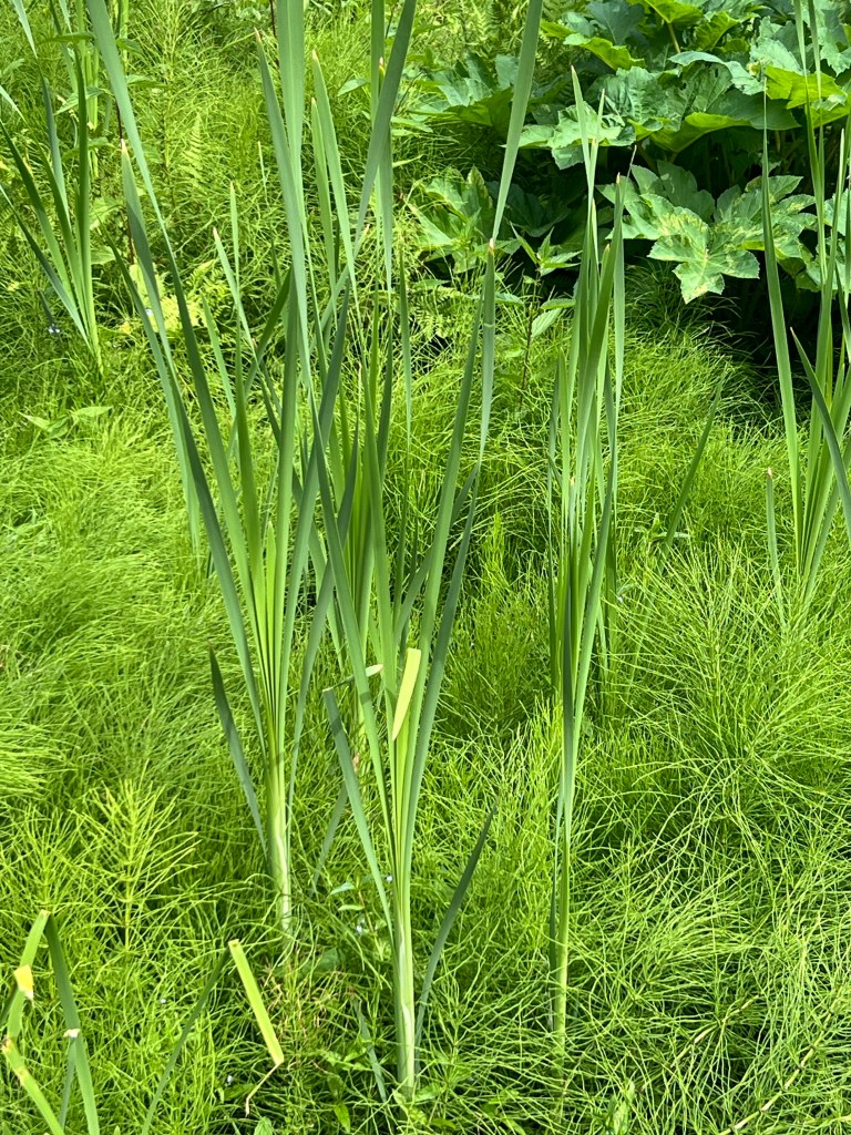
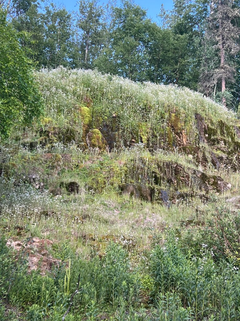
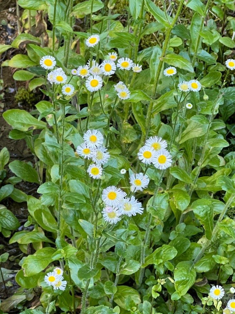
The airy one is horsetail
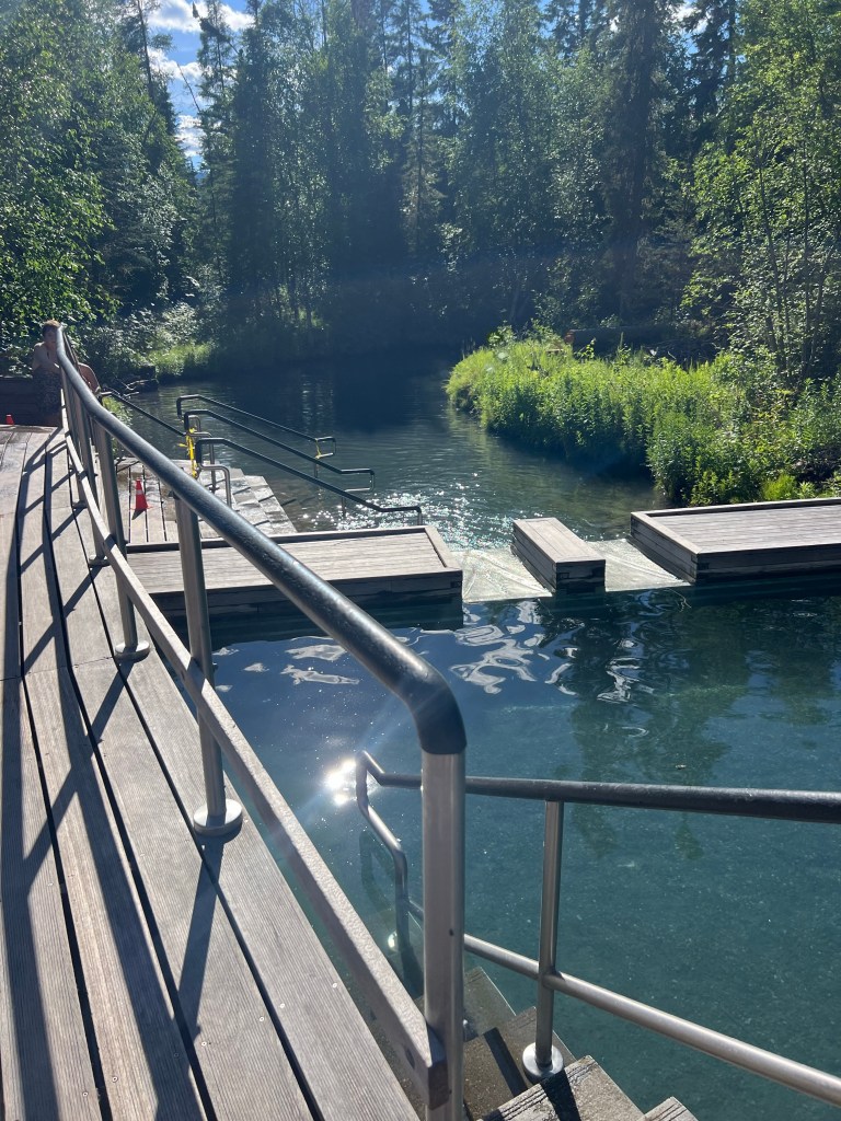
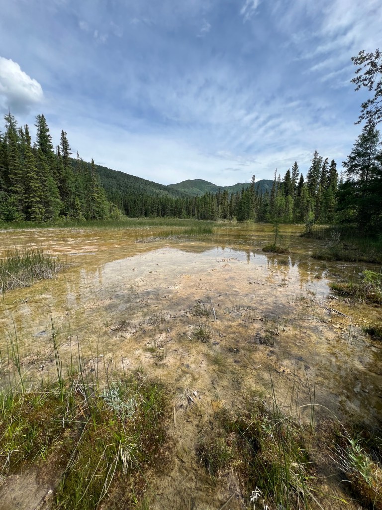
This is the source (hottest) end.
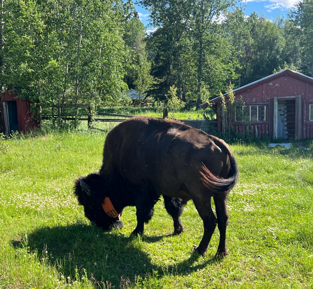
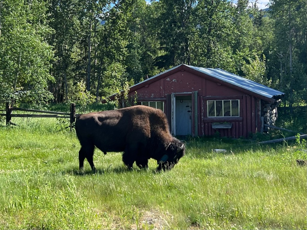
Wood Bison.
Where are the Wood Bison? Finally saw a couple when we arrived at Liard River near the bridge. They seem to be tagged with collars so I’m not sure what or why.