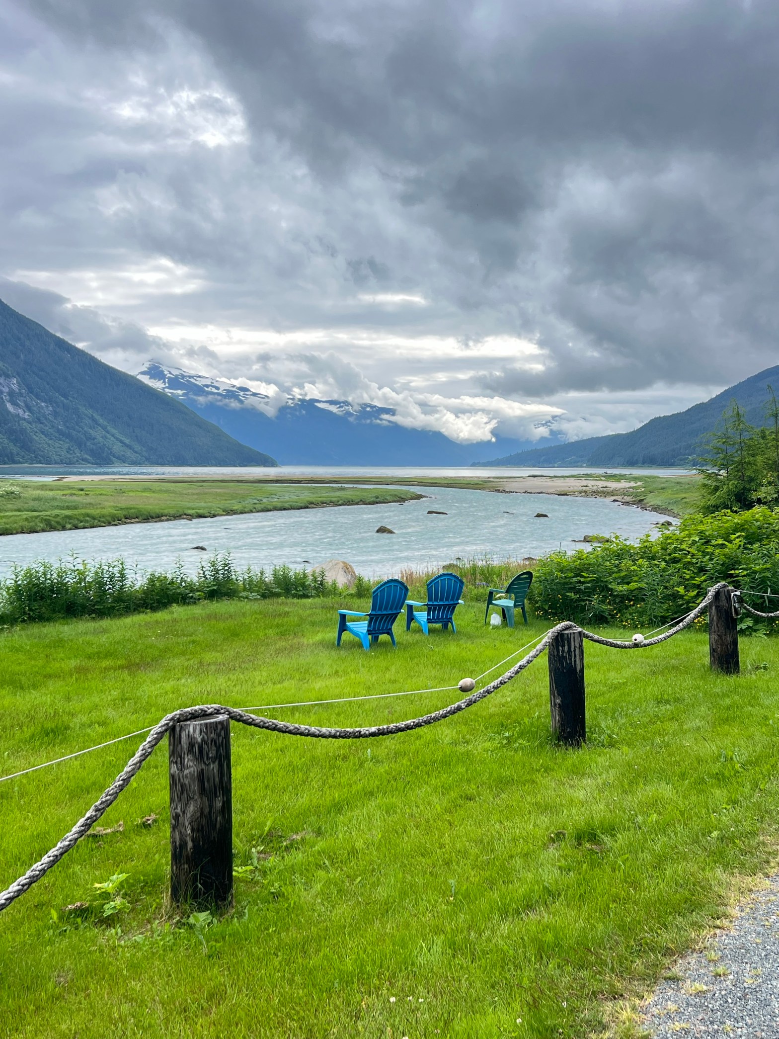
Day 15
7/5/26 Sunday
Mosquito Count: low (cool & breezy)
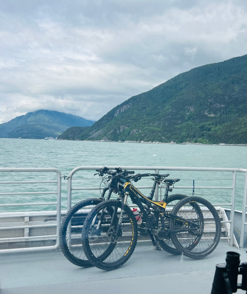
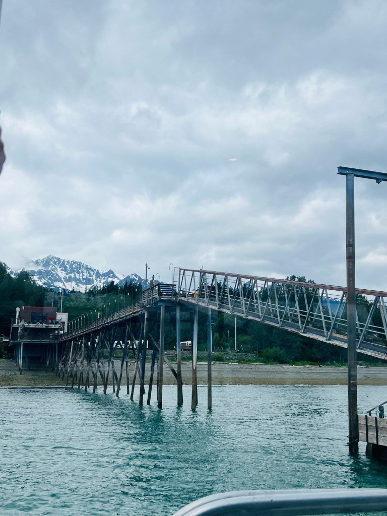
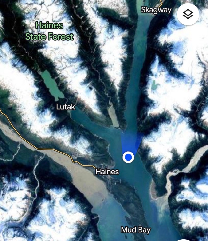
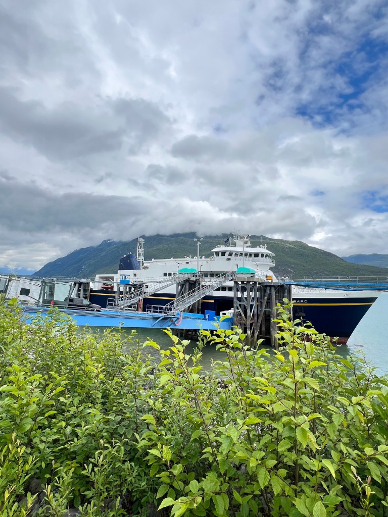
Ferry to Haines AK. Taking our first ferry of 2026. It’s an express ferry to Haines AK. Takes about 50 minutes. We are taking our bicycles with us to take a ride and for transportation to explore Haines. Traveling a 90 mile fiord and as deep as 1400 ft. called Lynn Canal.
Glacial fed waterfalls. Water originates in the Juneau Icefield.
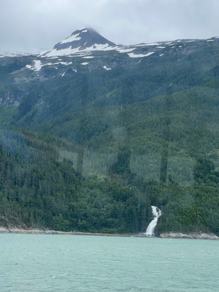
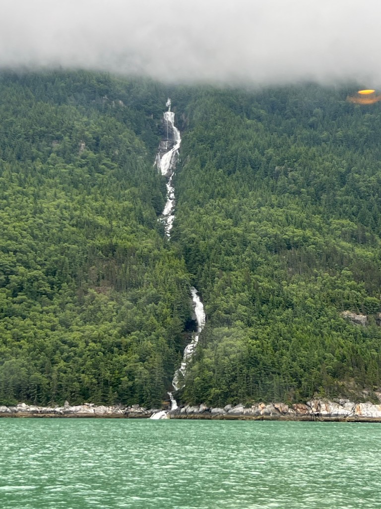
On the ferry we have a naturalist guide who has told us facts about the flora, fauna and sea life along the boat ride.
Haines has 2000 population. Economy is salmon fishing and tourism. It is quite a bit more populated than Skagway but you wouldn’t know it by the quantity of businesses in Skagway.
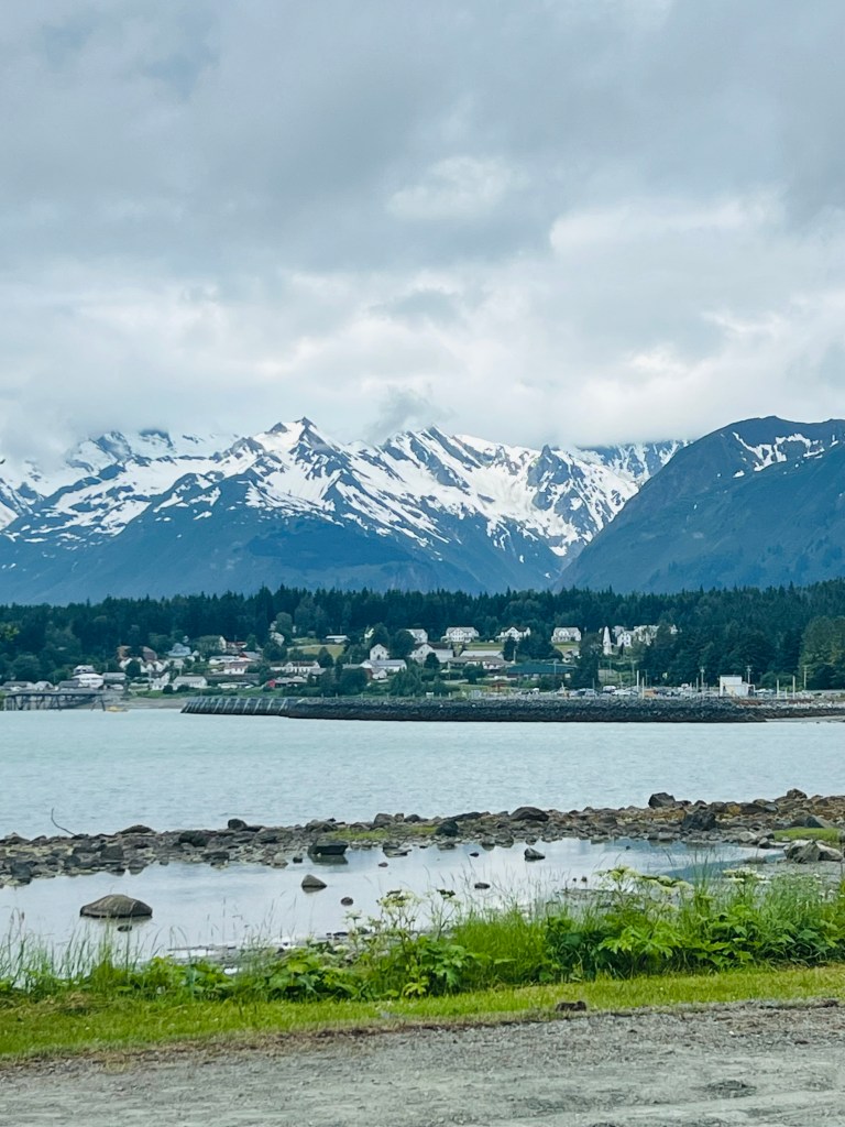
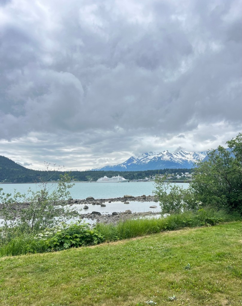
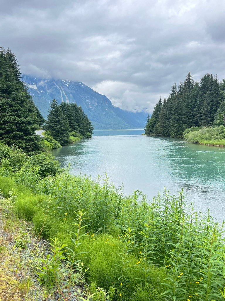
Bike ride today. We’re off on our bike ride up the waterway toward the Chilkoot River to the Chilkoot Lake. It is a a fairly flat ride, hills are very simple and infrequent. The morning was very calm and the water was very flat. For the first hour there was hardly a soul on the road… Sunday mornings! By 10am people were moving. There were two small cycling tour groups out headed to the same place. For awhile we followed the inlet until the river flowed to it. Then we went up the river until it became Chilkoot Lake. It was 10 miles to the lake. A beautiful morning for a ride.
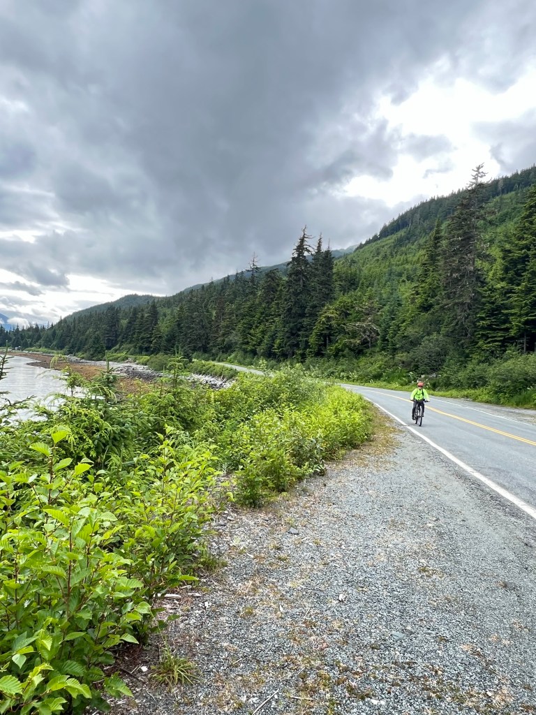
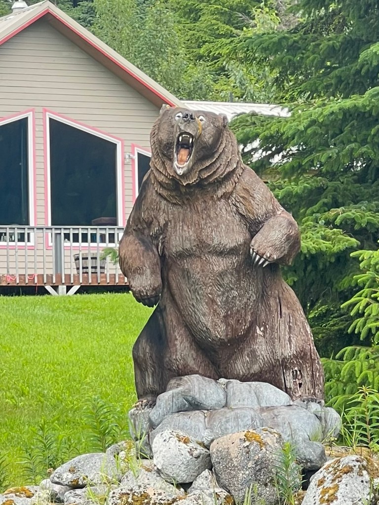
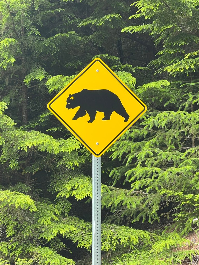
They call this highway “the bear highway”. I believe it. I saw so much bear scat on that 10 mile stretch… but not a live bear. We learned that on the coast they are called Coastal Brown bears. Then there are Kodiak bears and Grizzly bears. All the same species but adapted to their environment. Coastal and Kodiak are not as aggressive as Grizzlies because they are well fed on salmon. They don’t have to work as hard to be well fed. Maybe that explains their size of over 1000 lbs
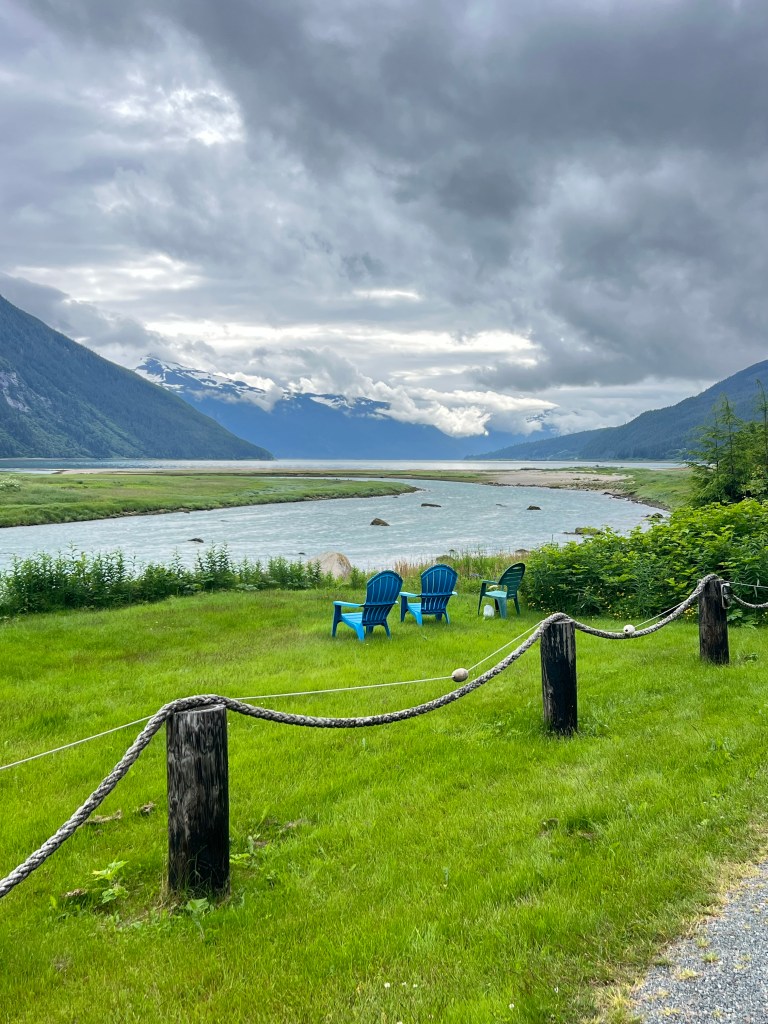
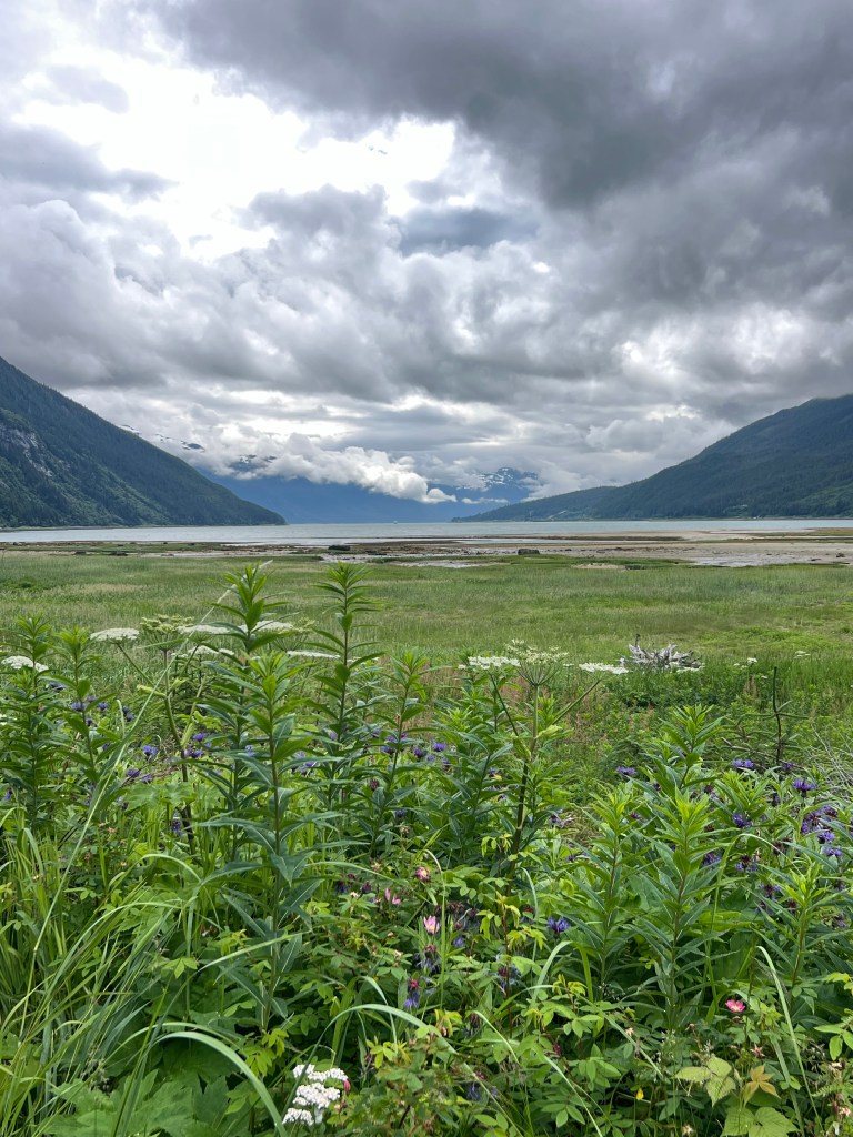
lovely view
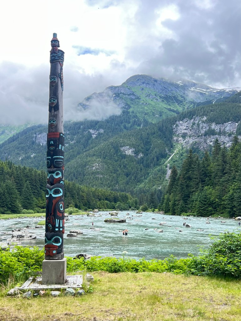
We are bicycling upstream
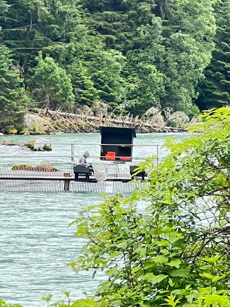
Next on the ride was the salmon counting weir. The weir crosses the river and then they visually count the salmon that come up the river. They also use underwater sonar as a backup count as well.
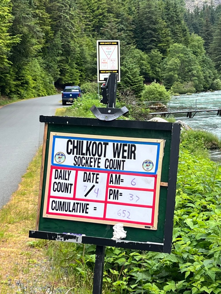
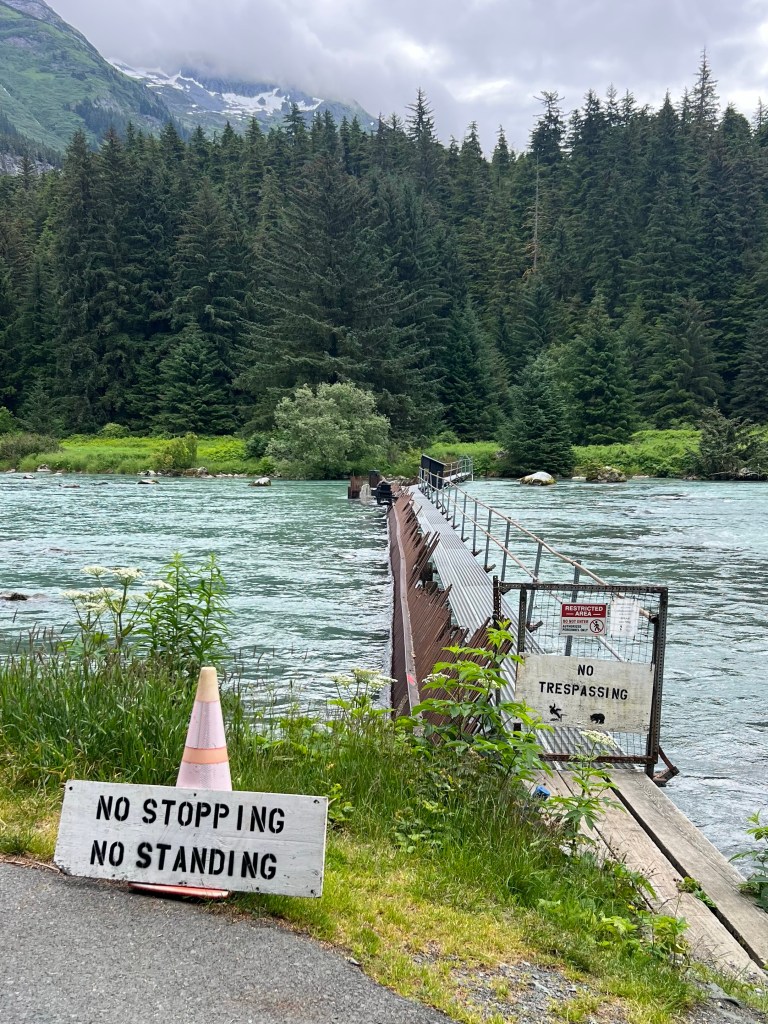
When we arrived at the lake there were just a couple of vehicles there. We spent a little time there having a snack and enjoying the view. By the time we left all the tour groups of bicycles and hikers arrived.
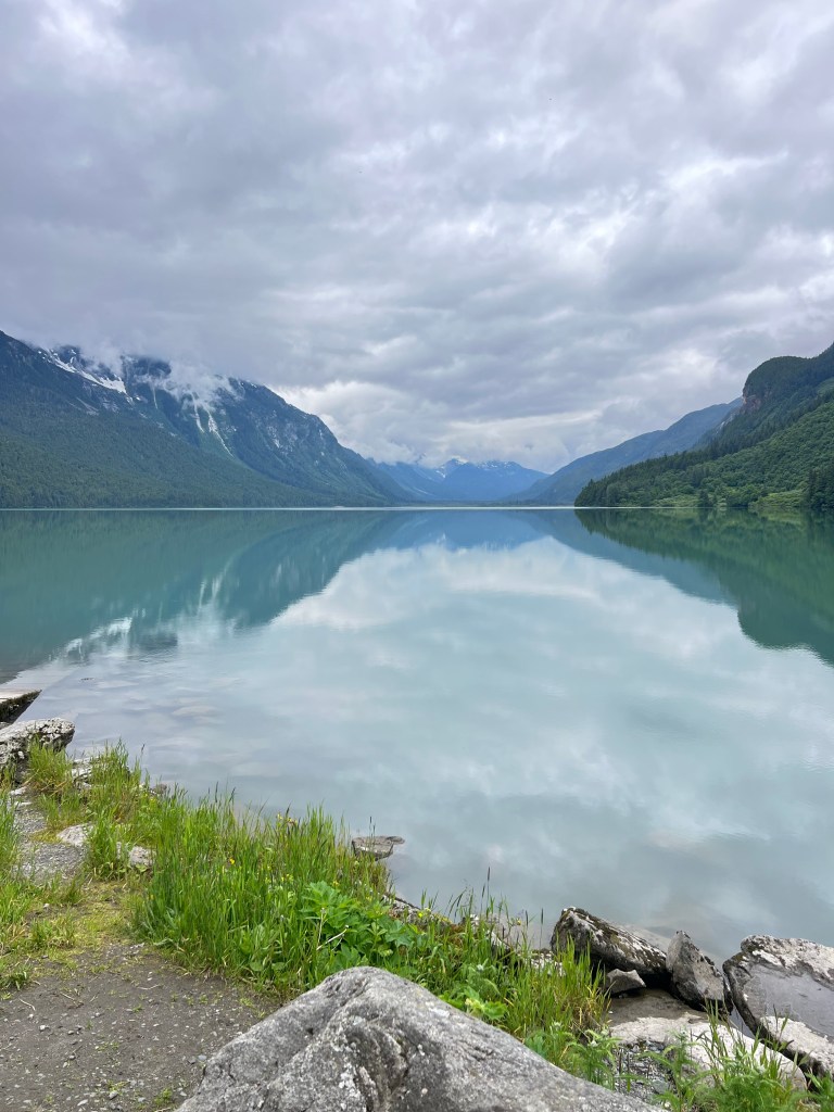
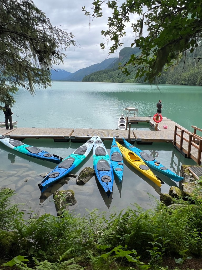
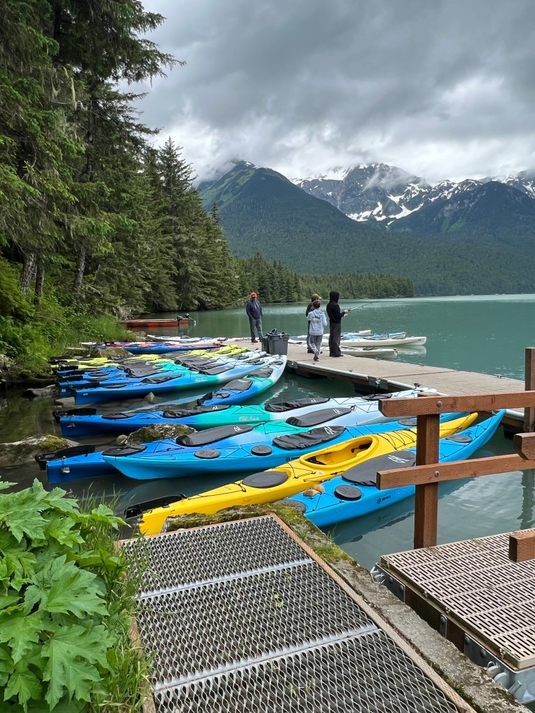
A bit of a breeze came up while we were there so the lake and bay weren’t as glassy on the return trip. But it was still a great way to spend the morning. There were so many water cascades coming down along the road. I can only imagine spring when the snow melts.
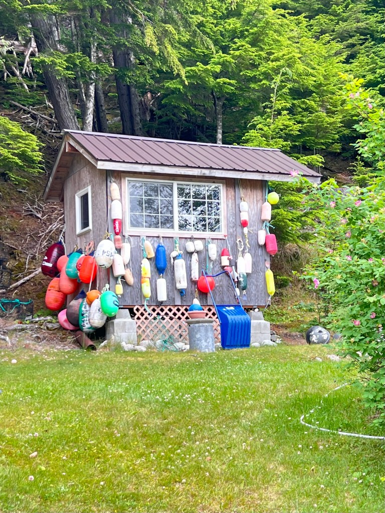
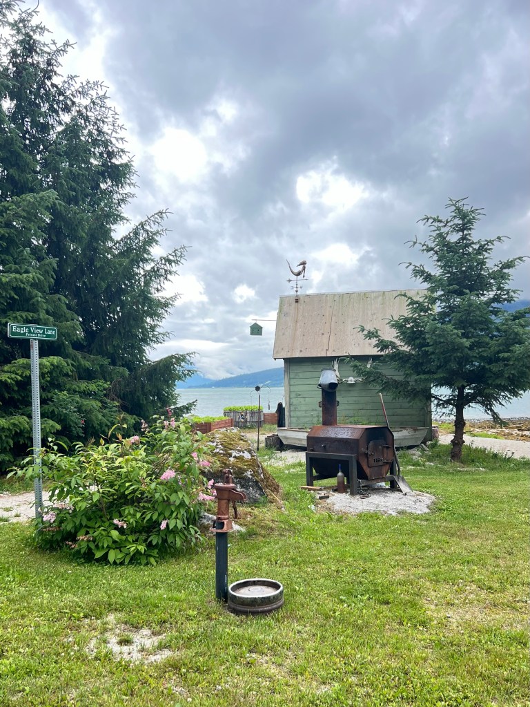
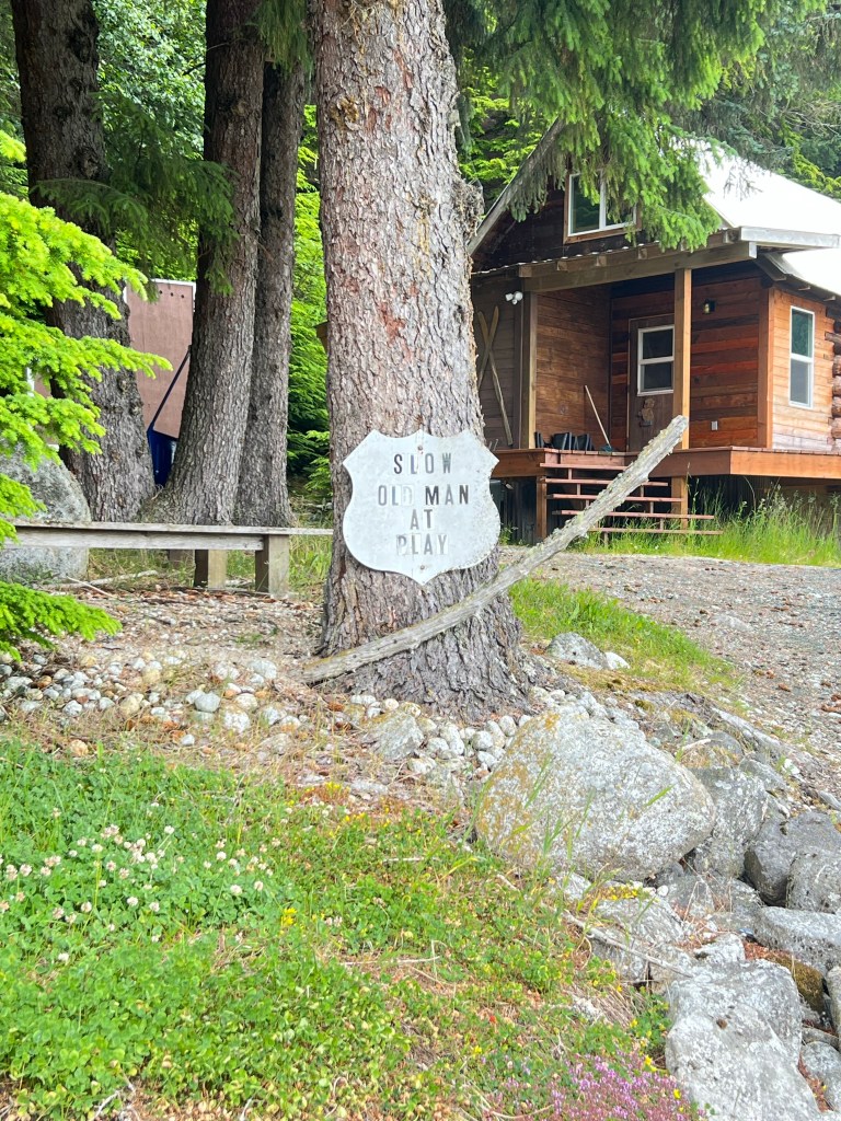
On the ride down we took a side road across the river to go by a few homes at the top of the bay.
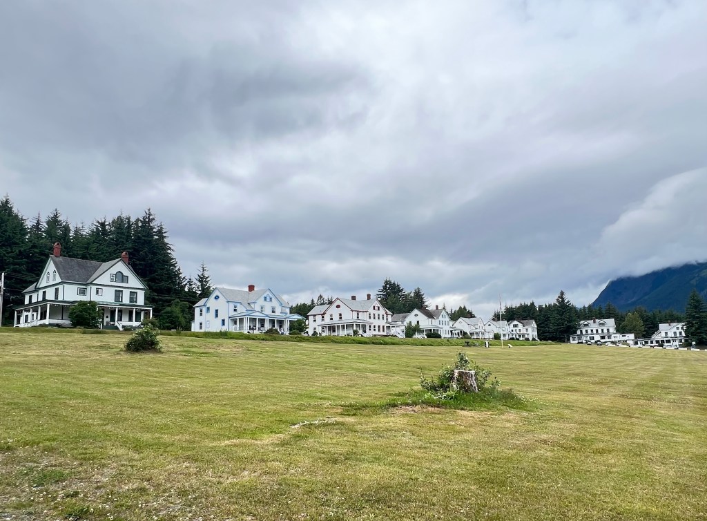
Fort Seward. We spent the rest of our afternoon checking out Haines. We road up hill above town to see the former Fort Seward area. They’re those big beautiful officers quarters houses with massive big balconies. I was reminded of The Presidio (San Francisco but much smaller) or my hometown Fort Keogh. Now the quarters are private homes, a hotel and a hostel.
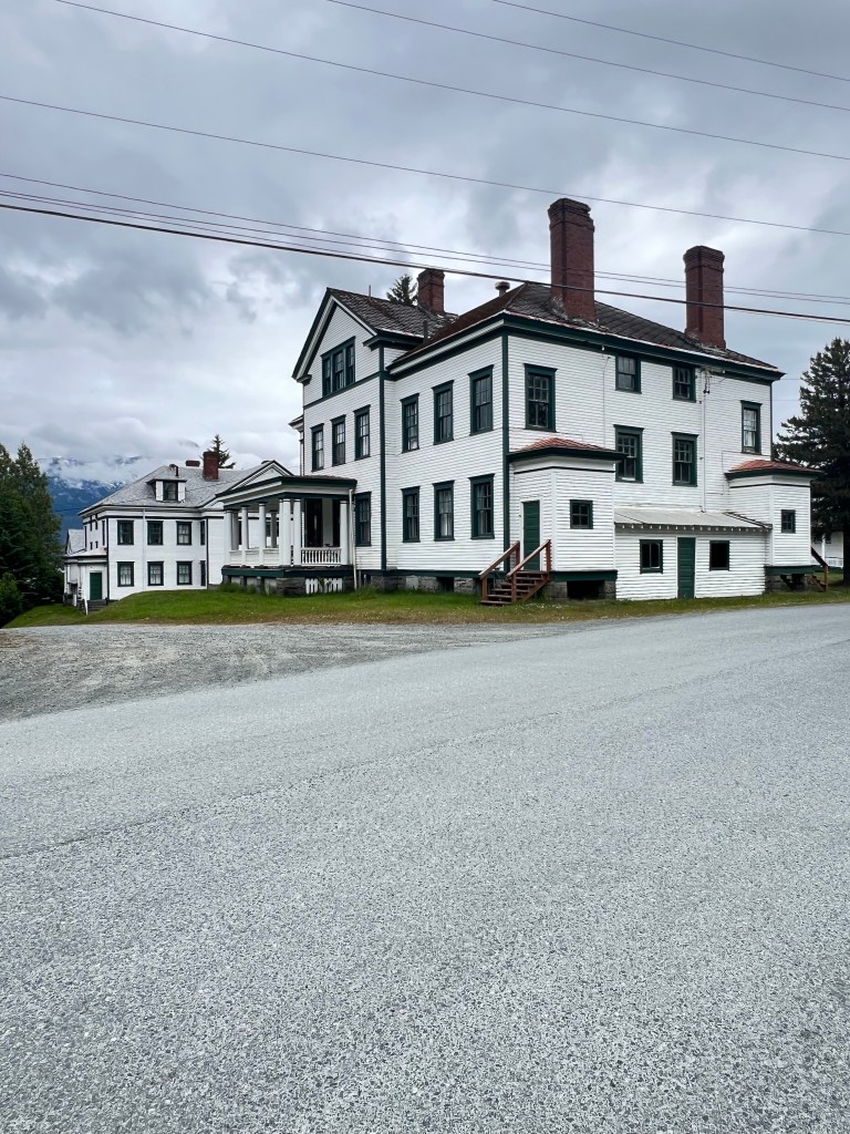
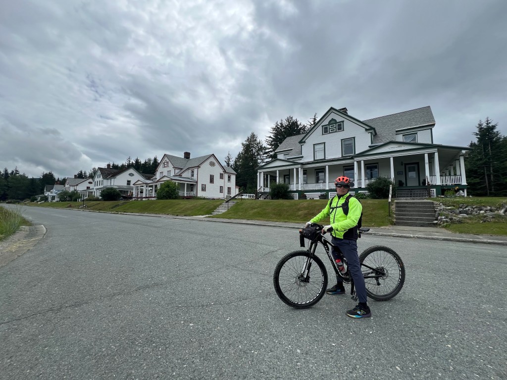
Fort Seward
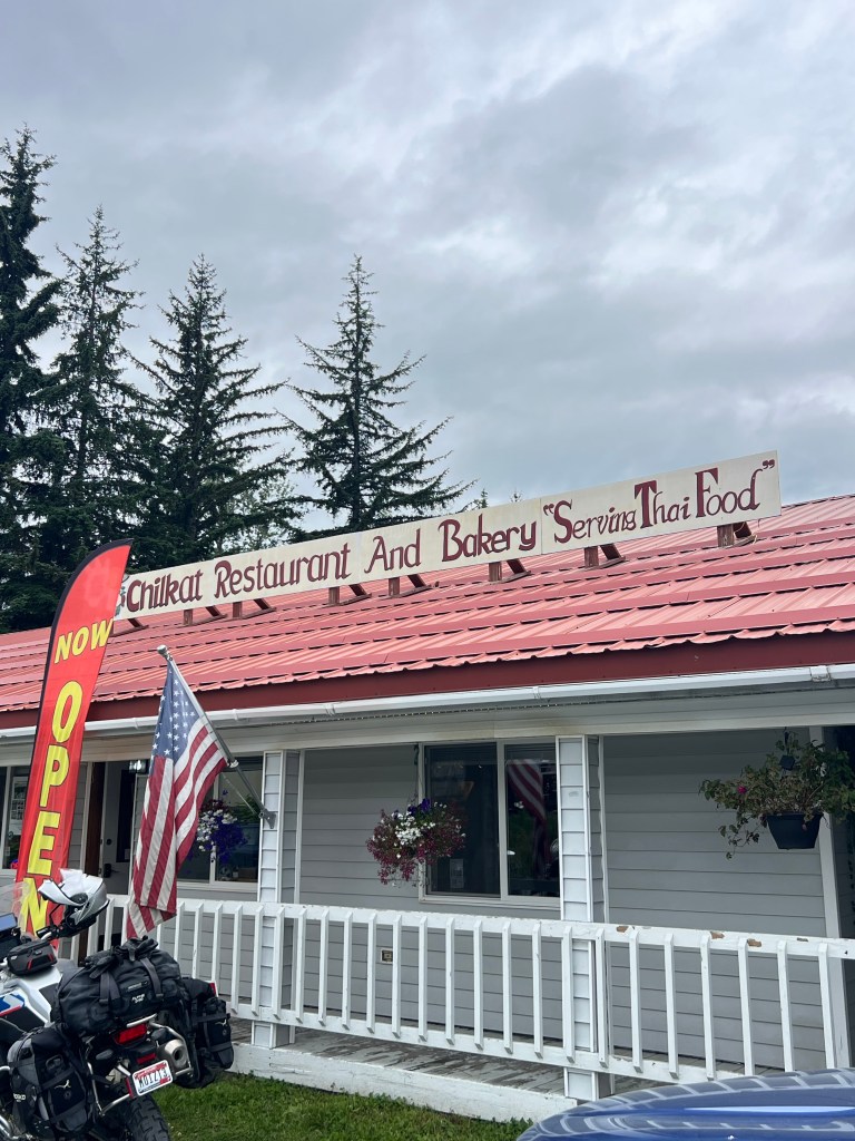
We had lunch at the local restaurant featuring Thai food. It was busy busy. We had time to wait out the crowd and have a nice lunch.
Haines is a pretty laid back community with plenty of cruise excursions as well. It is a drastic difference from the cruise ship oriented town of Skagway. The difference between one ship three times/week and 4 cruise ships a day. Haines and Skagway are the only two southeast Alaska communities that have roads that make them accessible to the interior of Alaska or Yukon/BC.
Afternoon ferry to Skagway. We caught the mid-afternoon ferry back to Skagway and decided to head back up White Pass and cross the Canadian border before it closes tonight. We will camp somewhere between the border and Carcross tonight.
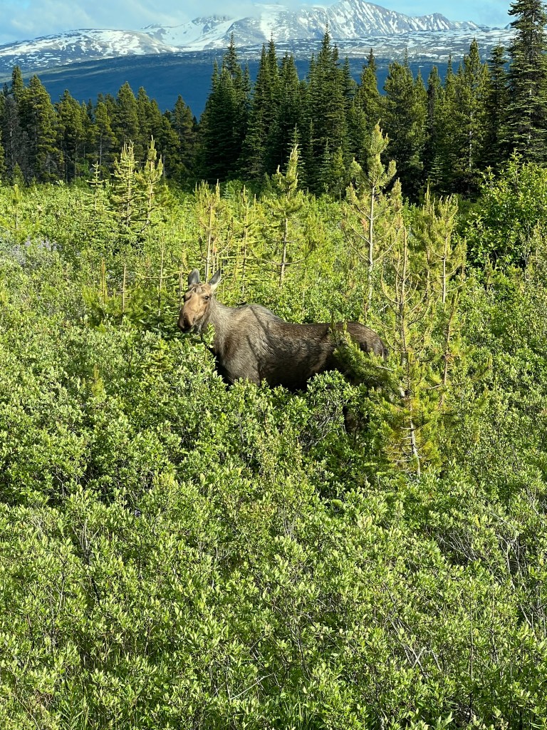
First Moose! Finally we saw a moose. We were driving slowly looking for a certain pullout for our camp tonight when there she was by the side of the road. The first of many I’m sure!
Camping tonight. Found a camp spot on a little pond just off the highway not far from the moose spotting. With some luck maybe we will see moose in the pond this evening or tomorrow morning.
Mosquito indoor attack. At our camp tonight we are fighting an indoor kamikaze mosquito battle. In the two times we opened the door it seems like a few dozen have made their way in. Nasty little bastards. Our hands hurt from slapping them while flying. It’s kind of hilarious too!
 cinnicrew
You had no comment on the totem pole. Have you seen many or was that the first one? LOL about the Mosquitos. I assume the back door was open for a bit to put the bikes in or was it only at your last camp site where you opened the door twice. Moose love bogs and don’t seem to care about mosquitos. You must have parked at a boggy spot.
LikeLiked by 1 person
We’ve seen several totem poles. There are numerous First Nations communities in Yukon and BC. As for the mosquitos… yes it was boggy…. We were right on a pond pullout.
LikeLike