Day 58
8/15/26 Monday
Highways. We are on our way to Squamish BC today. Starting the drive this morning and we hadn’t gone very far and suddenly we were on a 4 lane highway, the Trans Canada. We hadn’t been on this type of multi lane highway, with the exception of the city of Anchorage, since we were in Banff area.
Passing lanes. I should mention that throughout Canada their major highways have two lanes with passing lanes on the uphill sides of traffic quite frequently. This is such an efficient way to handle passing on two lane highways.
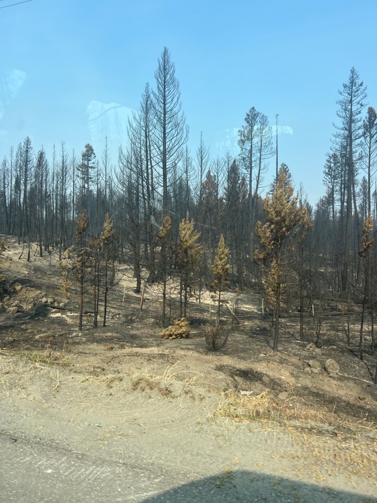
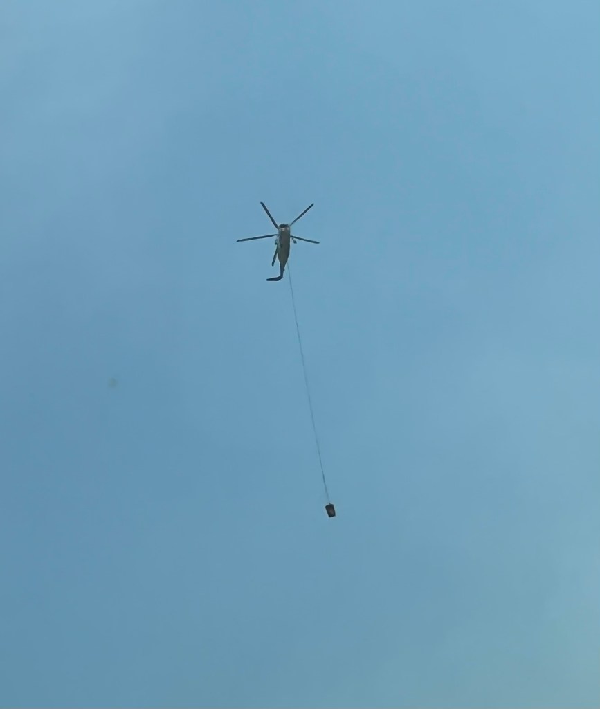
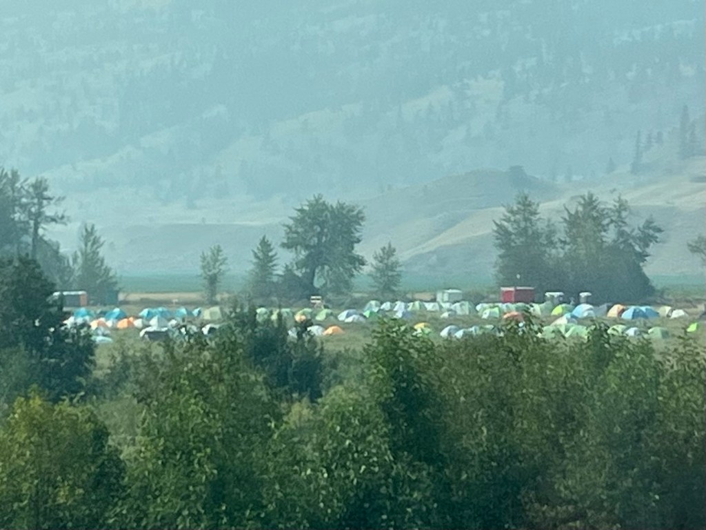
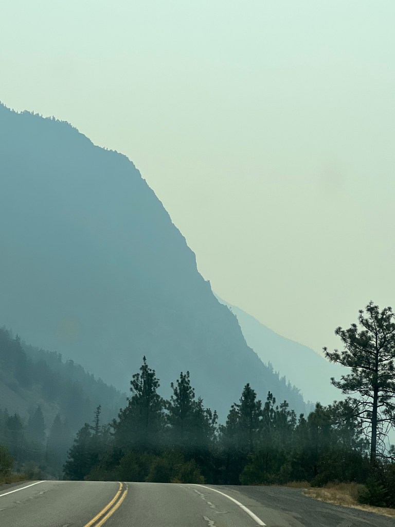
Fires and smoke. It has happened. We entered the fire zone of bad air and heavy smoky skies. We are driving through an area that recently burned. Parts of it look like the apocalypse. The smoke is so heavy that you can’t see down in the valleys and the hills are very hazy. The stench of smoke fills your nostrils and hurts your eyes. I do know that this highway recently reopened to traffic. At the junctions to our next highway there was a large fire camp. Hundreds of fiery tents in an open field. This highway (Hwy 1) is closed further south due to fire right along the highway. This is our first smoky skies and forest fire of the summer season. We’ve been lucky.
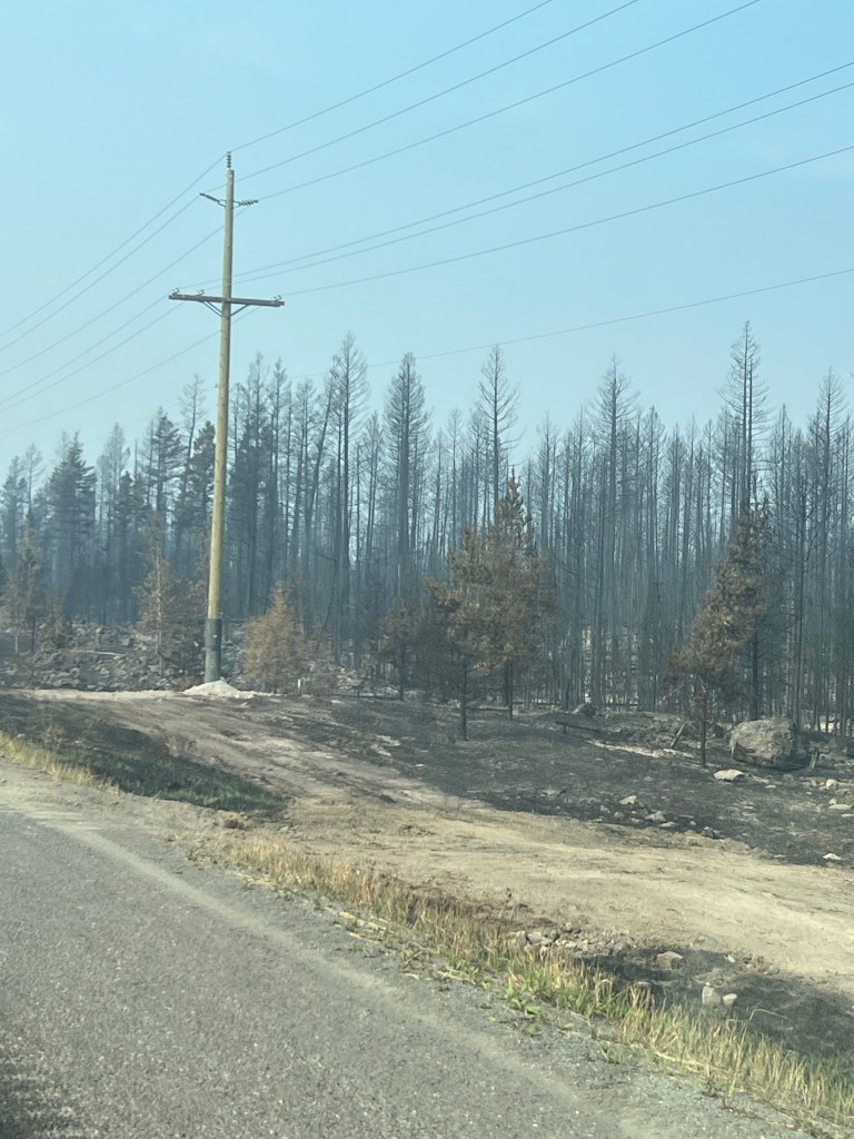
burned for miles.
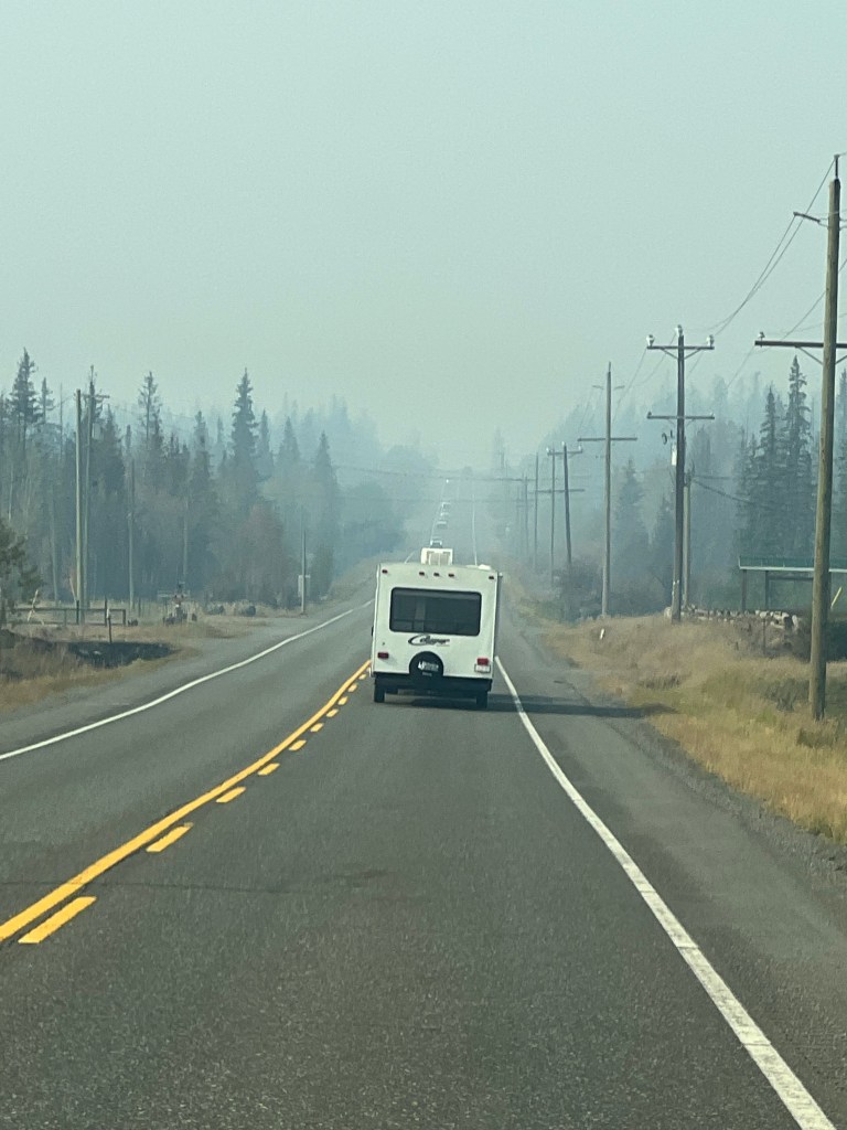
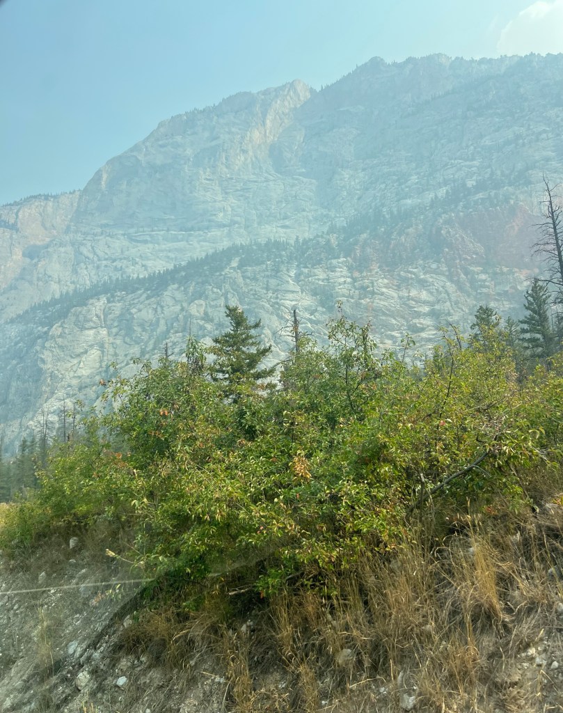
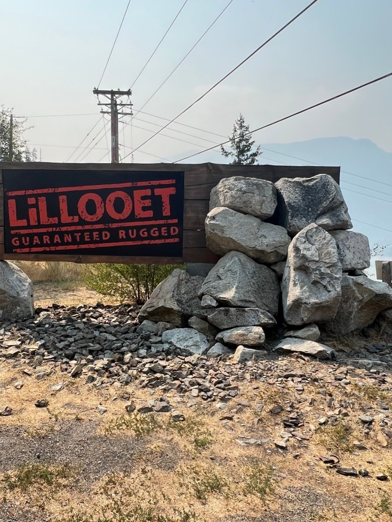
Highway 99. We are not planning to stay on this highway for long. We are taking Highway 99. Part of it is what they call the “Sea to Sky” highway. It goes from Vancouver through Squamish and Whistler to Pemberton. This highway returns to the Fraser River that is in an amazing canyon far, far below. As the highway begins to drop down to the river bottom we get some great views of the river still far below. The terrain in this area is dry and sagebrush. The trees are now Ponderosa Pine. As you can see in the photos the air is still smoky. The town of Lillooet is at the bottom. It was grim here they supplied the gold rush miners to the interior BC.
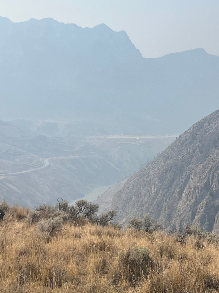
far below.
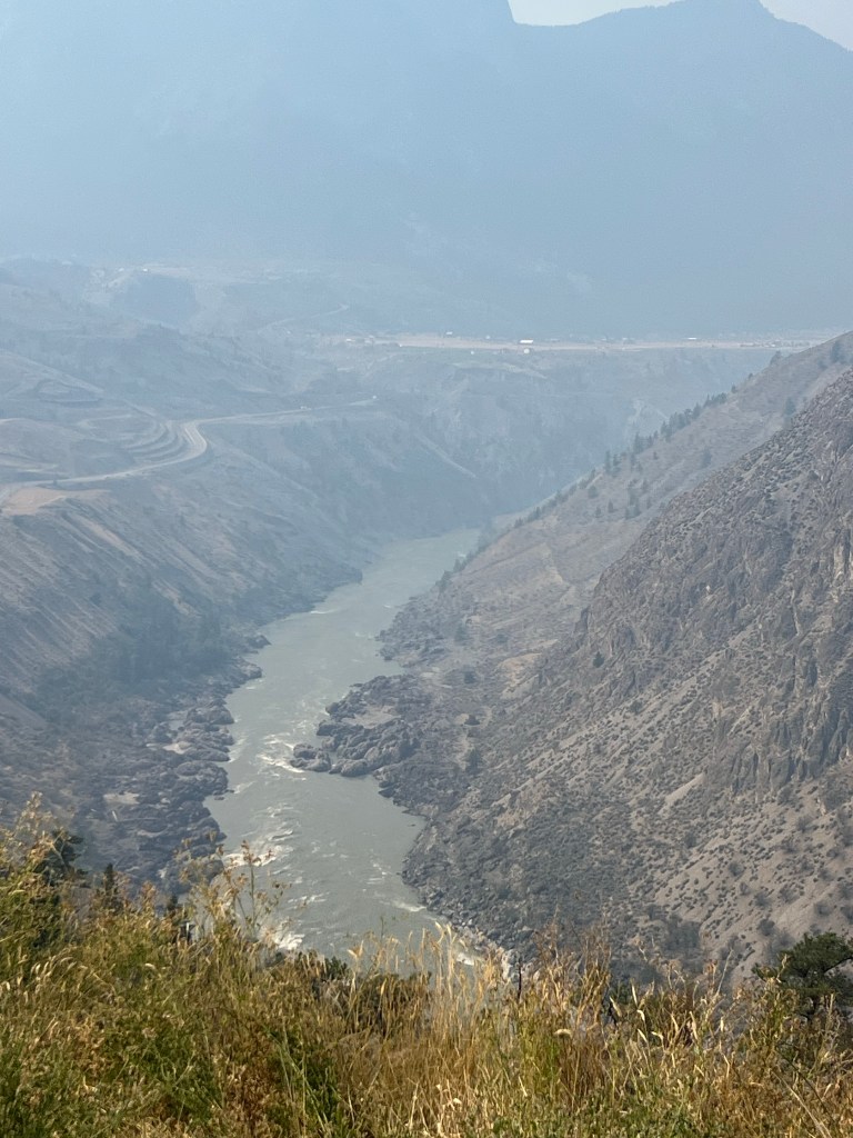
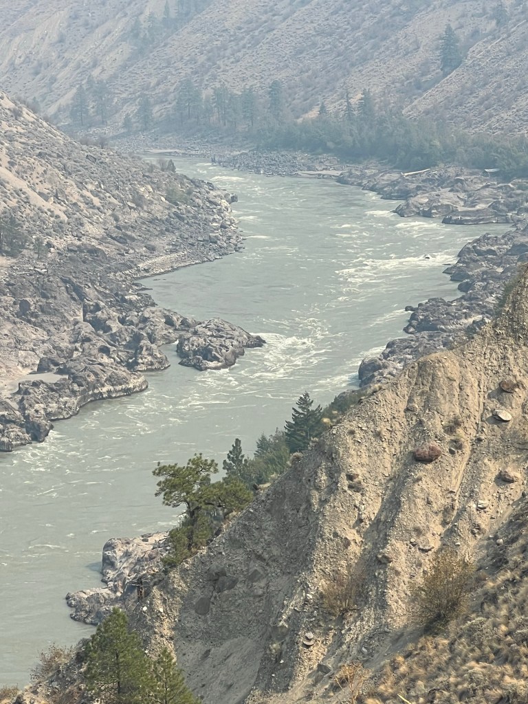
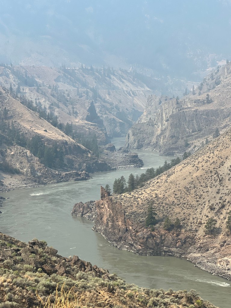
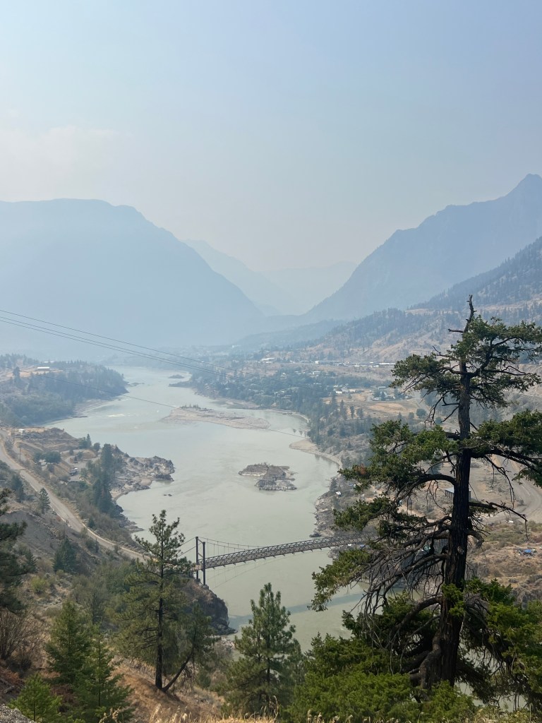
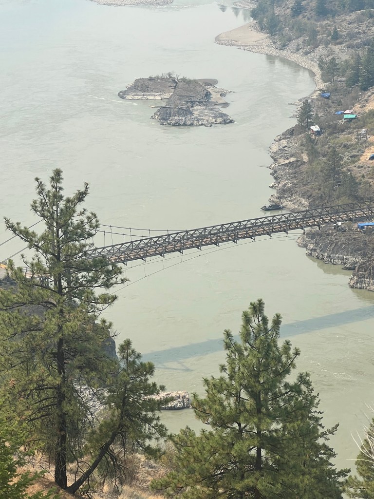
Vineyards.. As we approach the final terrace down to the river there are vineyards. The start of wine country in BC.
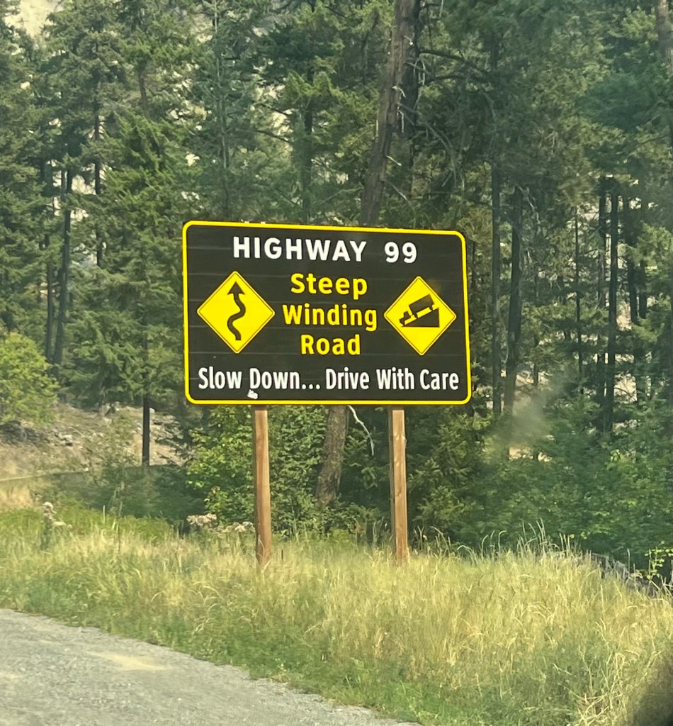
Sea to Sky Highway. We cross the Fraser River at Lillooet and climb back up along the Seton River toward Pemberton. There’s a sign to remind us we are headed back into Grizzly Bear country! We immediately have tight. Twisting switchbacks on a narrow road. Headed up to the Sky!
Once we are up and over a pass to the west the green vegetation is all back we have left the semi-arid landscape on the plateau behind.
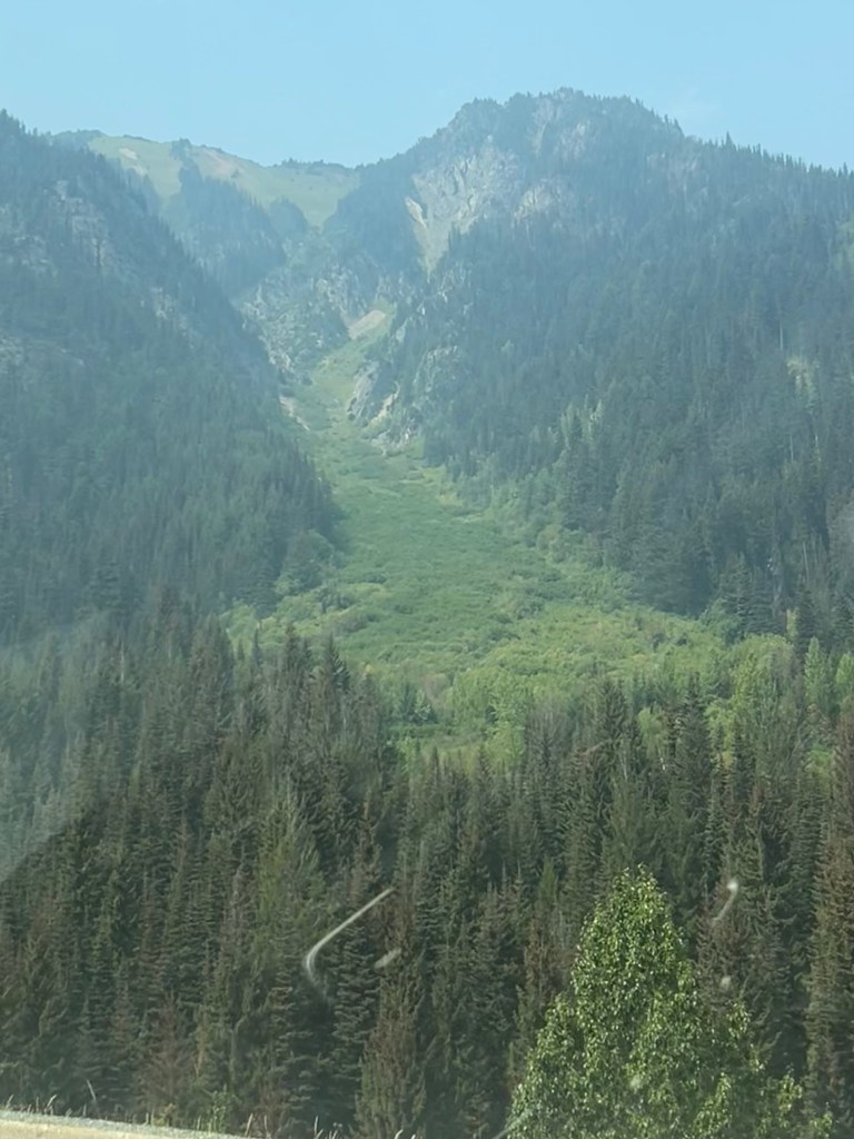
Jaffre Provincial Park. On advice about hiking from a fellow Alaska traveling friend (Holly) we pulled off the highway at this park. The sign in the parking lot said FULL. Yes it was… there was even overflow parking. We drove in anyway and at the trail entrance you must get a free permit to hike the trail. Another sign said… permits full. Wow! That had to be a hundred hikers judging from cars. This was our first clue that things were about to get crazy busy!
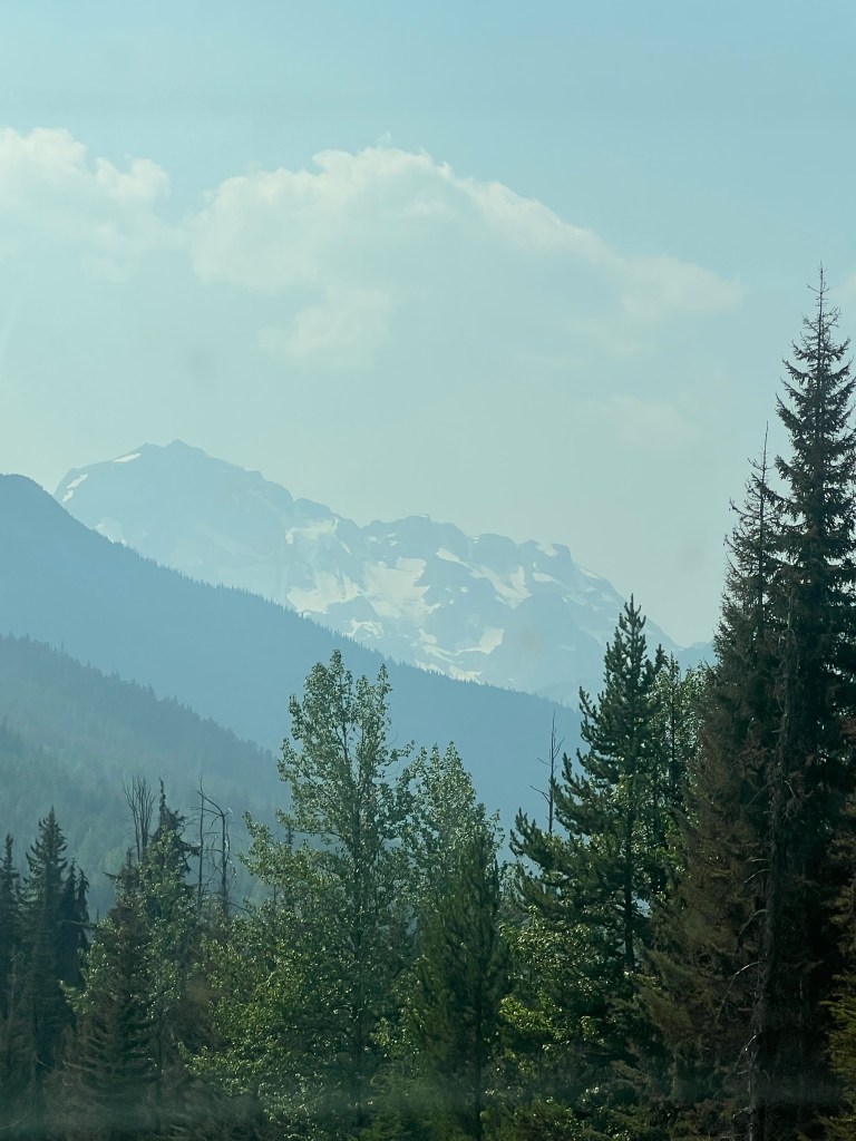
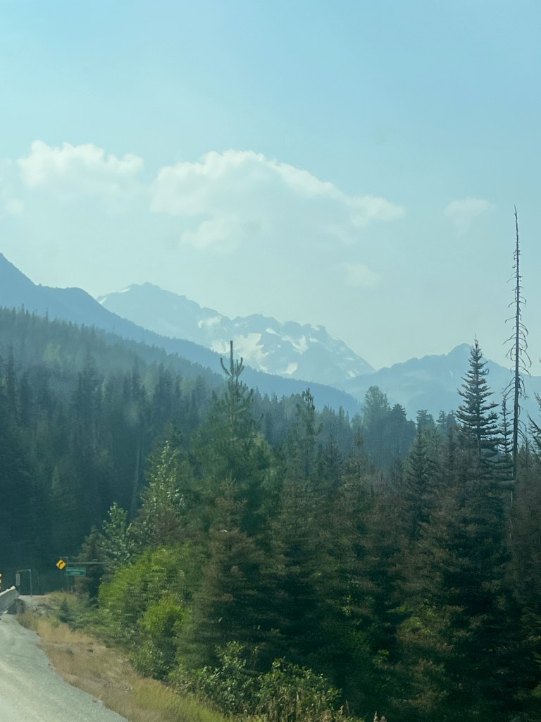
Incredible road coming down from the summit with high peaks all around to a valley bottom all the way to the town called Pemberton. The road stayed narrow and winding through this land that is all First Nation territory.
Pemberton has become a spillover of Whistler. Lots of high end condos around a cute town center of what used to be to be a regular small town.
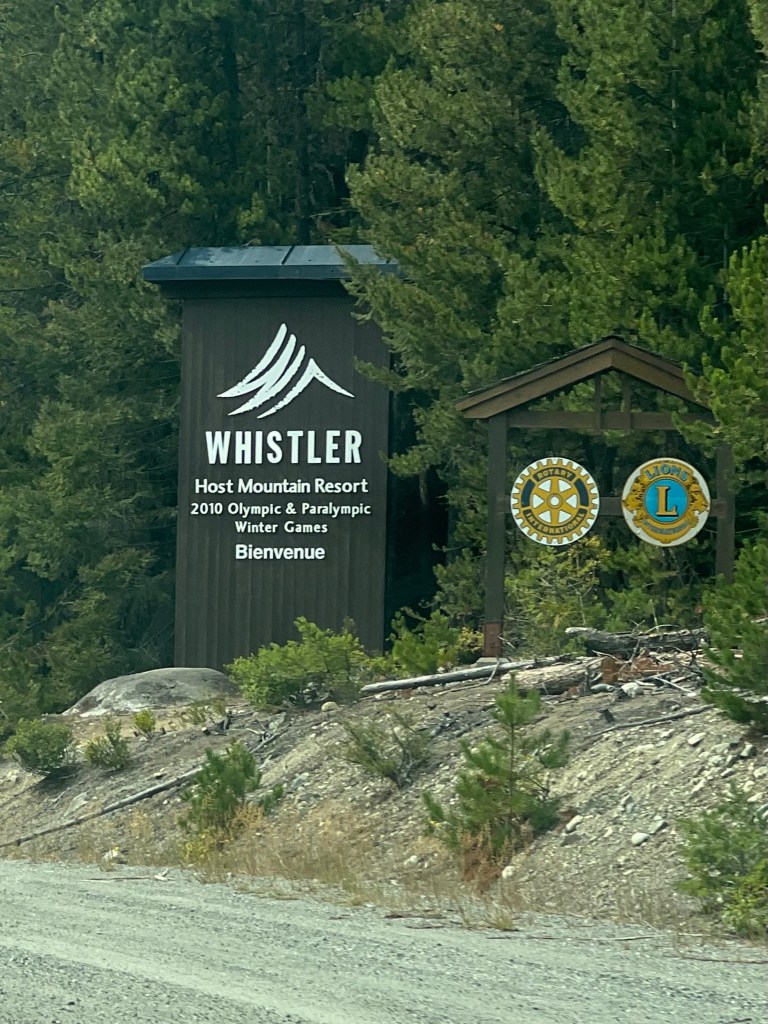
Whistler is crowded. After Pemberton the traffic picks up as you get closer to Whistler. There are several housing developments for a few miles before you get to the Whistler Ski Resort and village. I have only been here once several years ago in the winter to ski. We did a pretty quick drive through the main village but it was extremely busy. The area was teeming with visitors walking and bicycling in multiple directions, roads and hotels every which way hidden throughout the trees and bushes. We both were happy to get out of there. Needless to say I have no memory of the village now compared to several years ago. I might remember the runs much better!
Going Coastal! Finally we are heading back to the sea to the town of Squamish. Squamish located on Squamish Harbor of Howe Sound. Population 24,000.
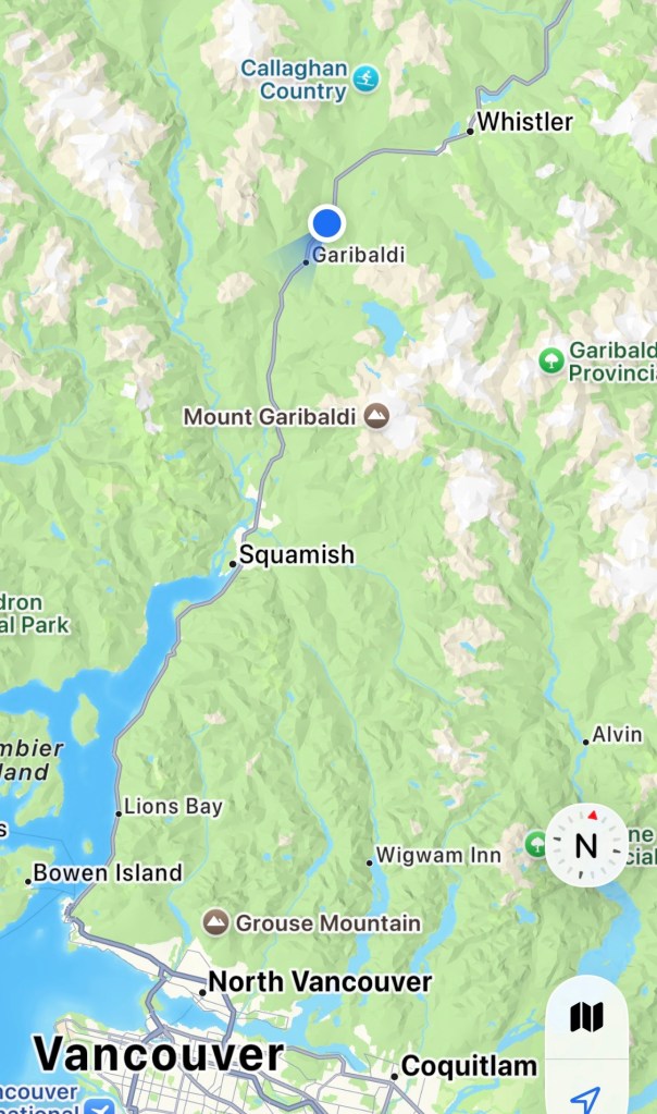
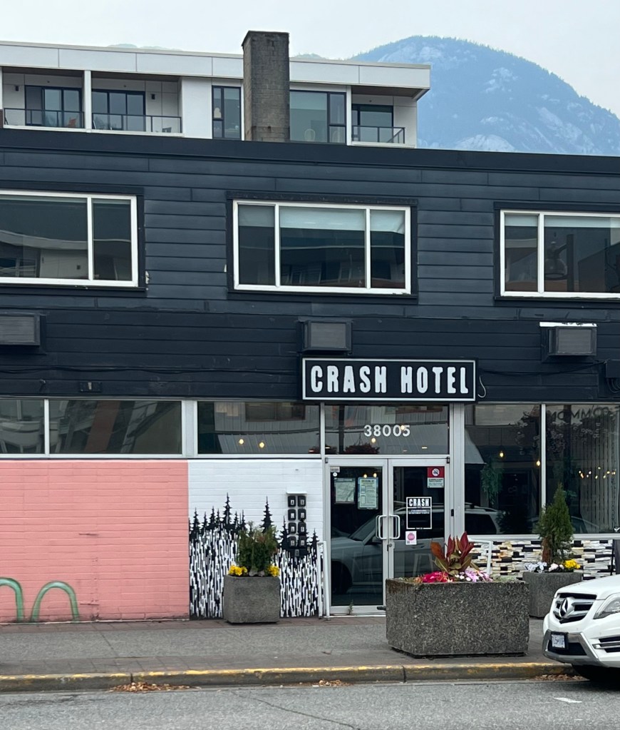
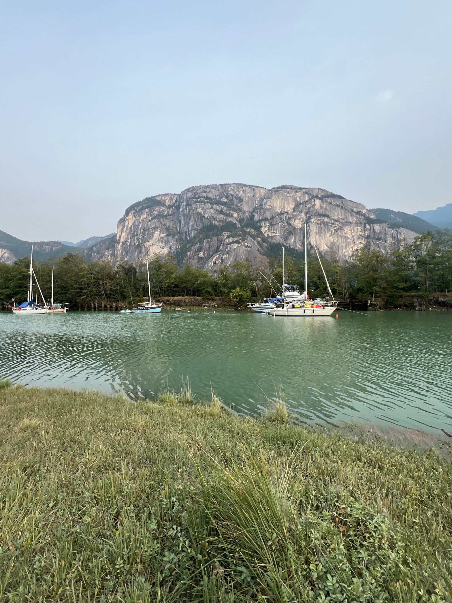
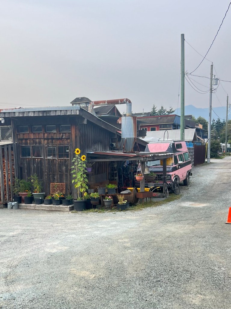
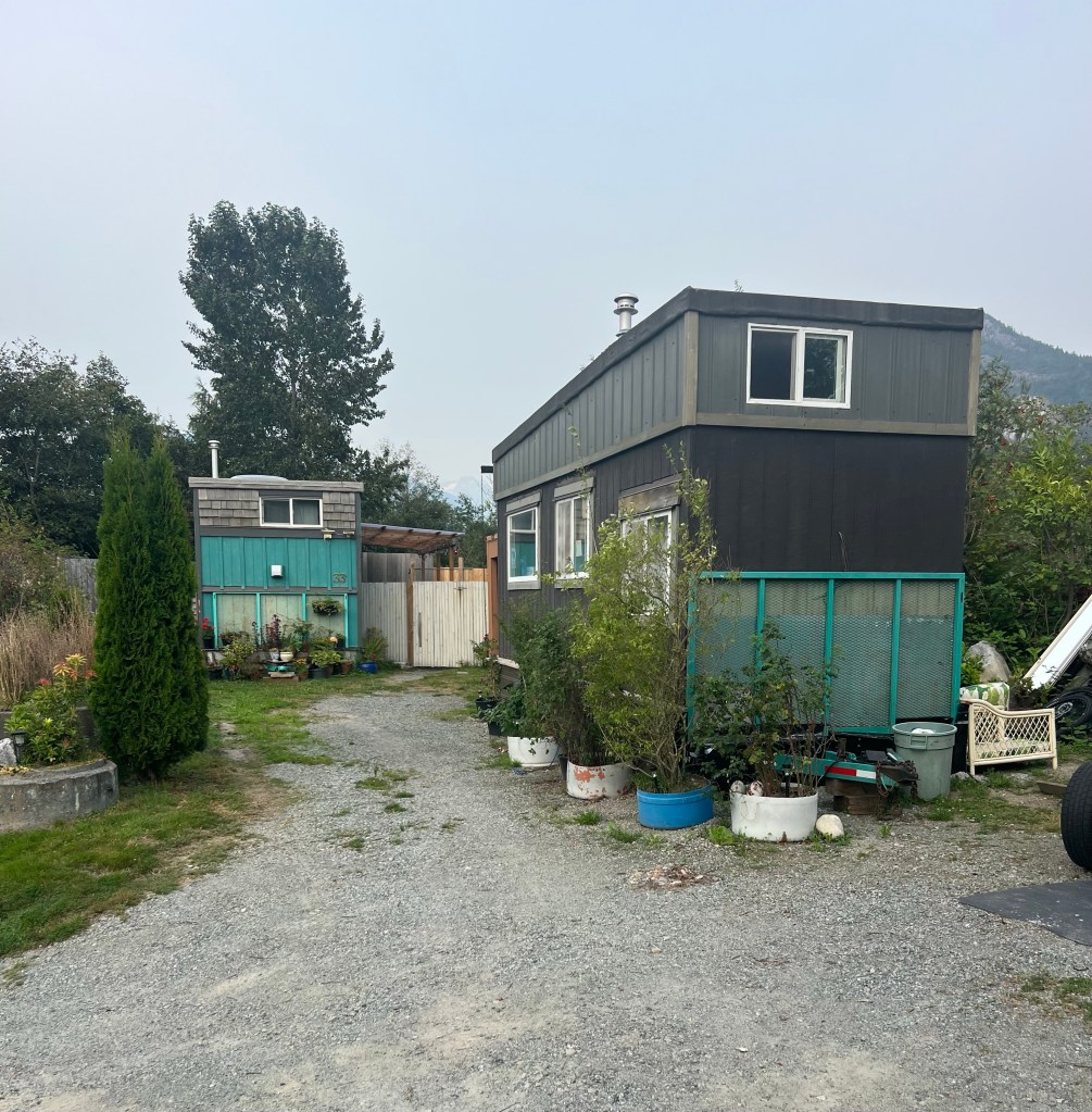
downtown and the harbor. Once we found our camp spot we took a drive to downtown Squamish. It’s an up and coming community. There’s a mix of interesting businesses, restaurants and new business below/condo above developments. There are several nice murals on buildings. At the end of the downtown is the boat harbor. On the other side of the harbor is a magnificent granite rock mountain. I believe it’s a popular climbing place.
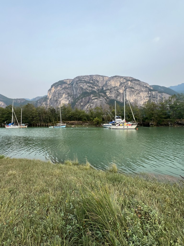
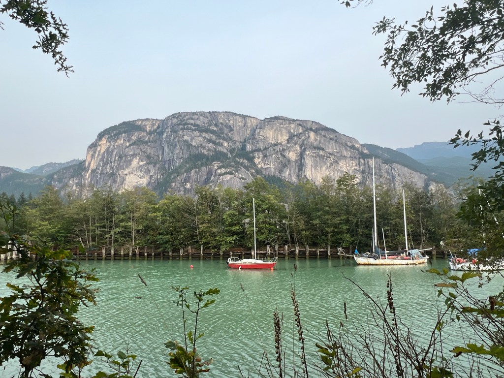
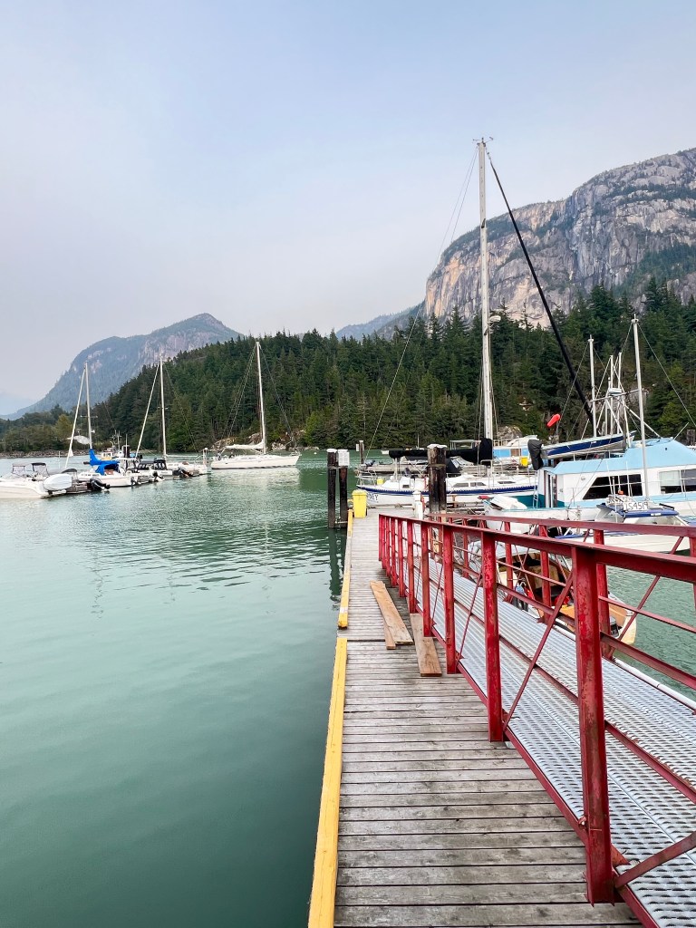
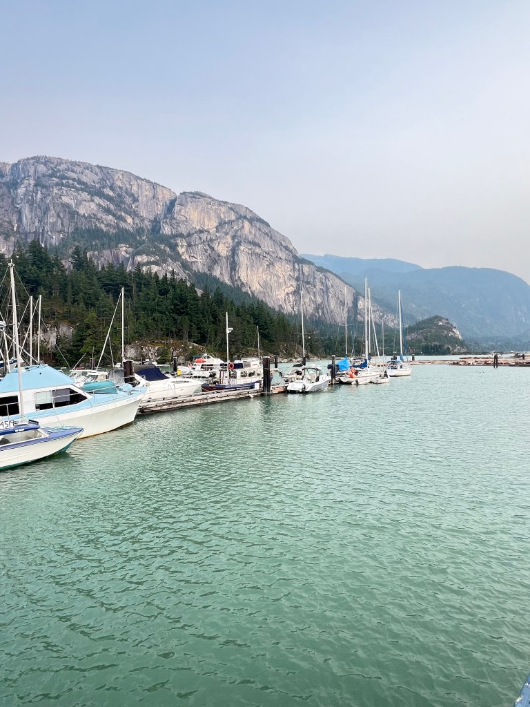
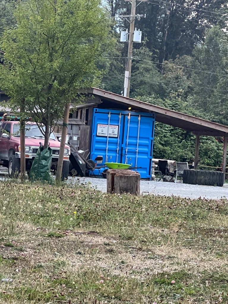
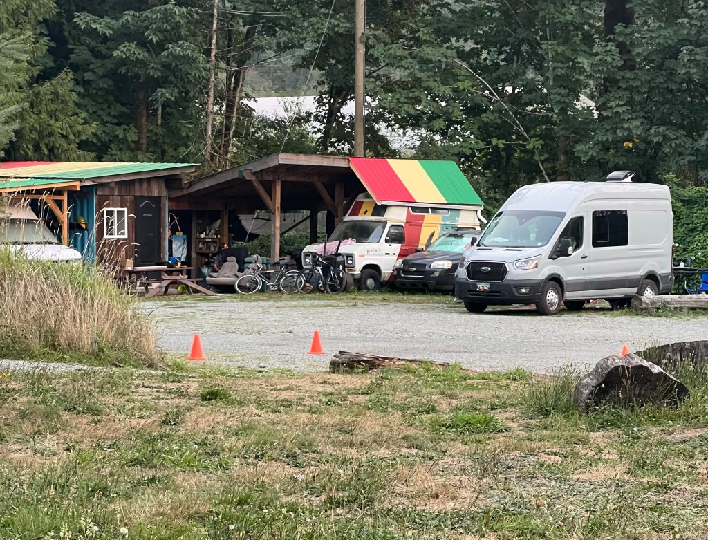
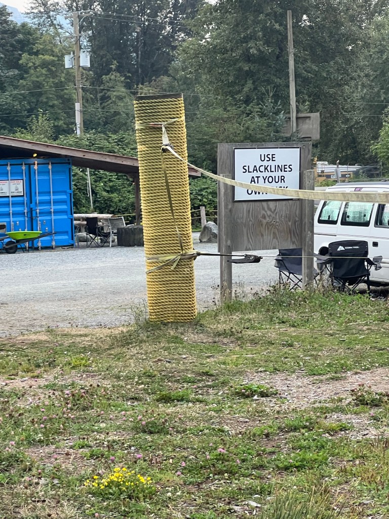
Non profit campground. We found a campground on the Mamquam River on the edge of Squamish. They are a non profit campground provided to offer inexpensive camping for adventurers. Regular sites ($20) are sold out but we can get a $10/ overflow camp tonight. It’s a hip camp kind of campground. There are a lot of single sites around the outside, an area just for tents and overflow (van camping) on the inside of a grassy park area with picnic tables and slack line course. (We both decided to skip that activity.) By evening all the spaces were filling up. What a nice little campground so close to town. Bicycle close. There’s a bike path just down the street.
Wildlife today. 1 black bear crossing the road
Last Day in Canada! We have one more sleep in Canada…. which marks the end of this adventure. Tomorrow we are back to the USA… the lower 48! Almost feels like home already!


I like Vancouver. They have a lovely Museum in town and a ski area you may drive past on your way through town. Have you ever spent time in Vancouver?
LikeLiked by 1 person
Have not spent any time in Vancouver… looks like a great city I agree
LikeLike
so you are skipping it?
LikeLike
Yep. Not a city trip. I like the idea of a Seattle, San Juan’s, Vancouver, Vancouver Island, Victoria trip
LikeLike