Day 53
8/12/26 Wednesday
Foggy this morning. We were/are expecting a sunny day. At some point it will burn off.
Dease Lake. Coffee crisis. Didn’t realize how low the supply was when shopping in Whitehorse … let’s see what Dease Lake has. Bought coffee .. Tim Horton’s was the most reasonably priced. Kicking Horse coffee was $36 CDN!! Crazy expensive store!
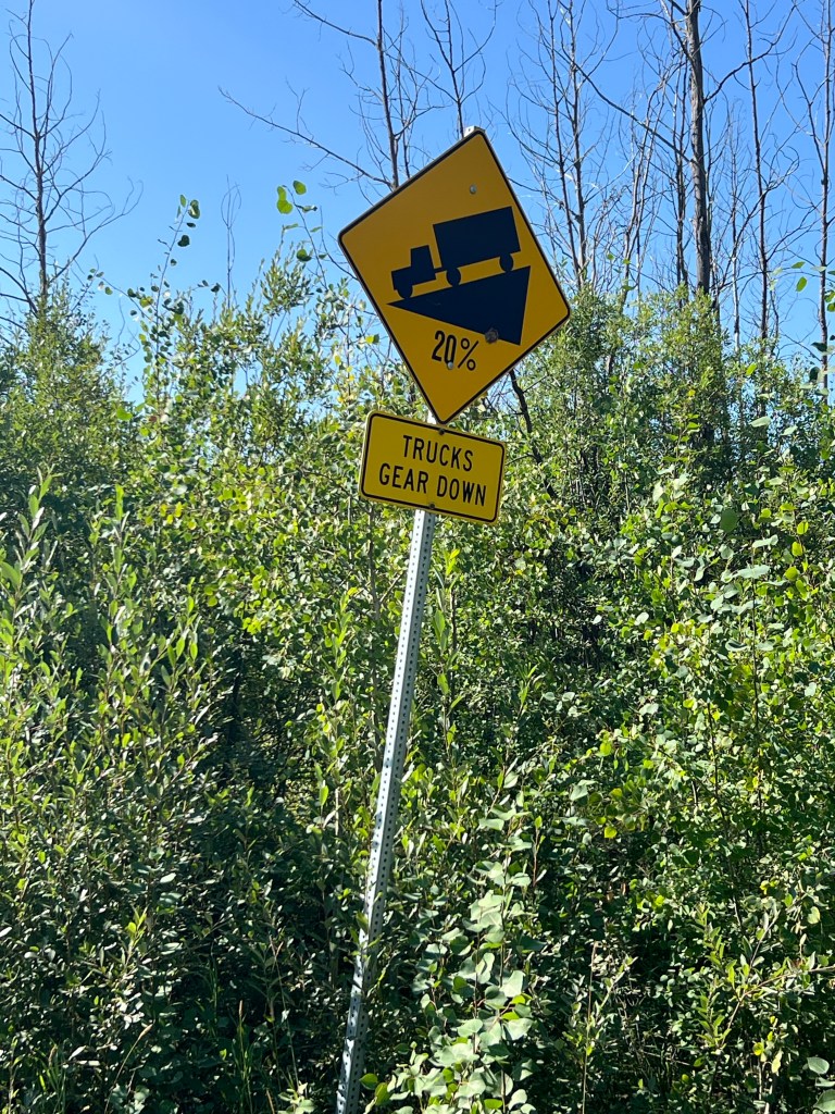
We are headed on a side gravel road called Telegraph Creek. It’s 71 miles of gravel with steep descents and climbs. At least 4 in all. The road signs say the incline is 18-20%. Good test of low gear for Vincent Van-Go.
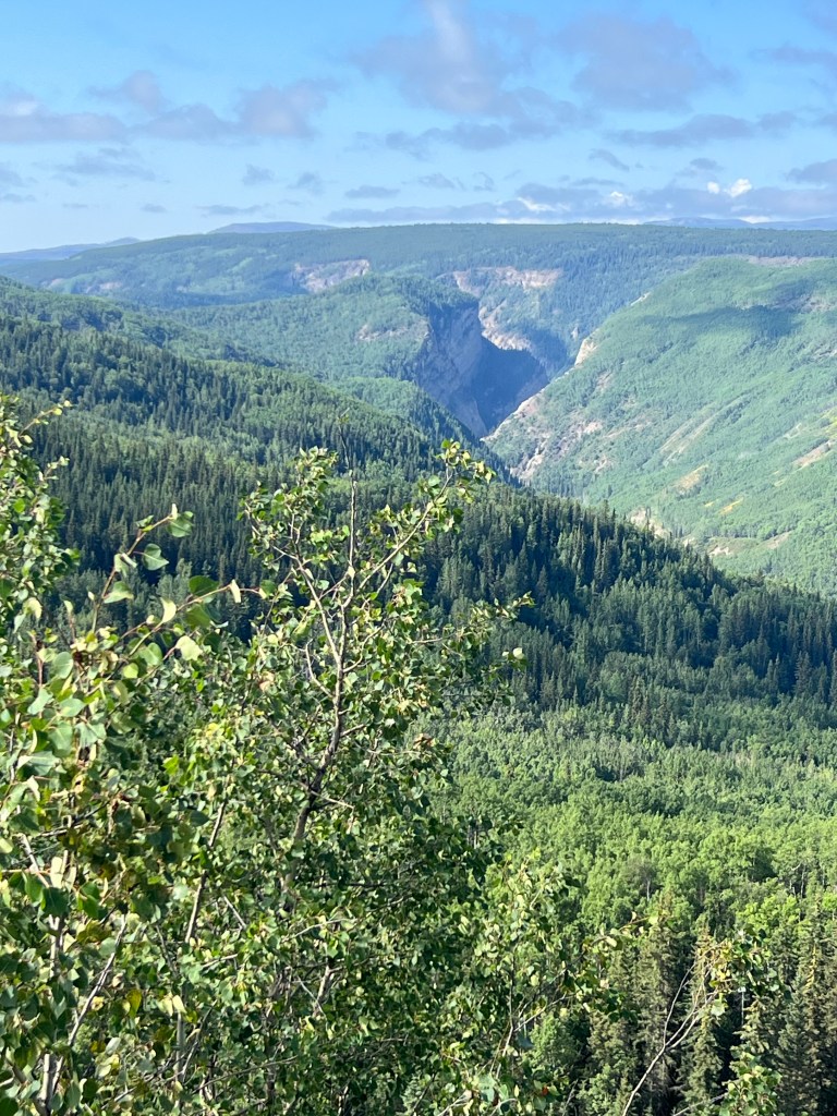
Before the first big switchback down we see 1 black bear on the side of the road. Next we have a scenic overlook of the Tuya River and a canyon beyond.
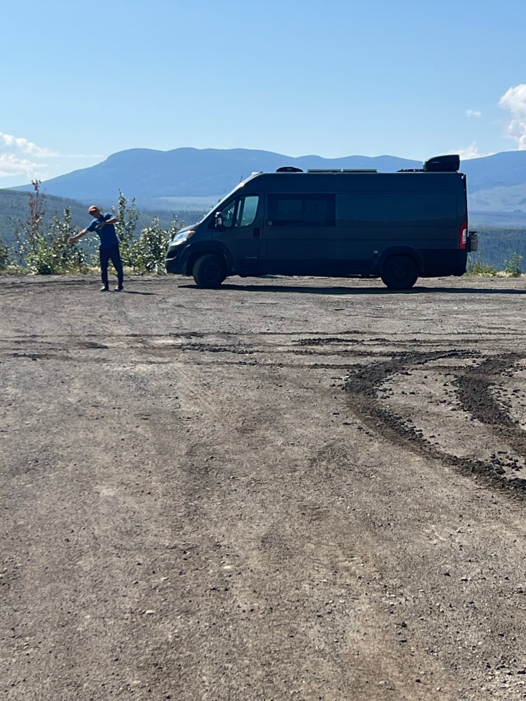
Steep challenge. Next up the challenging (scary to me) part of the road. Jim’s not worried… just me😳 The first set.. downhill 18%. Just fine doing downhill..but can he climb?
So many rivers. We are following the Tuya River until the next climb up and over toward the Stikine River and looking down into the river carved through lava. The Grand Canyon of the Stikine River is what they call this chasm.
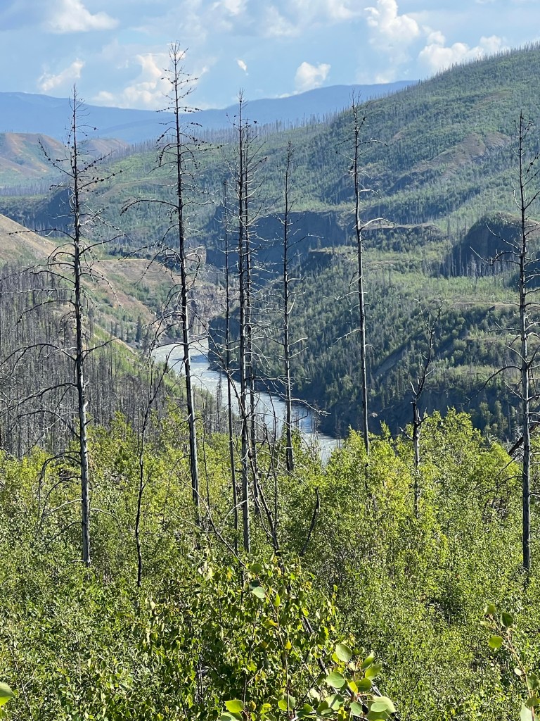
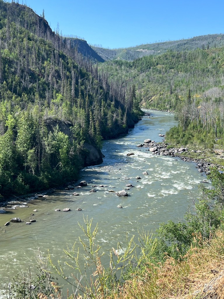
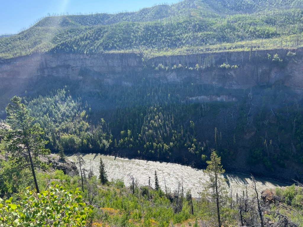
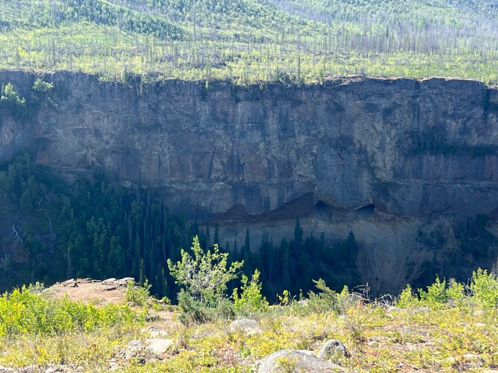
Rivers on each side of one lava wall. There is a point we are driving on a lava bed with two different rivers on each side of us. Not much more than the width of the road to each drop off to a river. On one side is the big Stikine and on the other is the Tahltin River. They will meet as we drive down off this lava ridge.
The Tahltin First Nation inhabits the Dease Lake area and Telegraph Creek. There are summer houses on the Tahltin River where they fish for salmon. At the mouth of the Tahltin the salmon don’t go up the Stikine any higher.
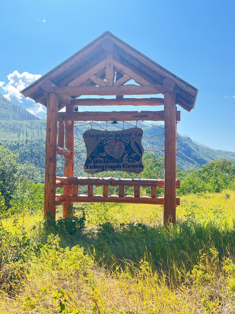
At the end of the 71 mile road is the town of Telegraph Creek on the banks of the Stikine River…population 51. It was founded on the Gold Rush before the Klondike.
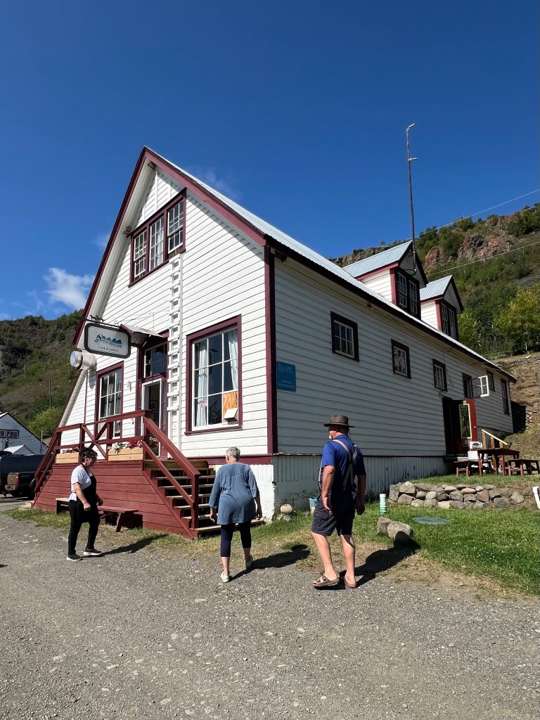
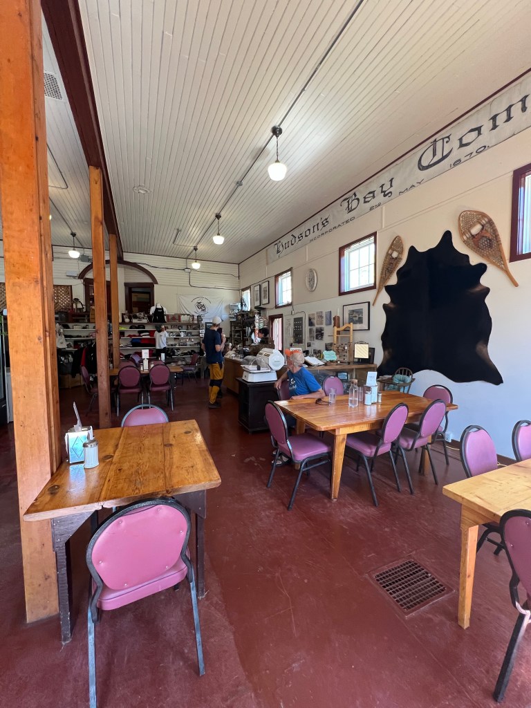
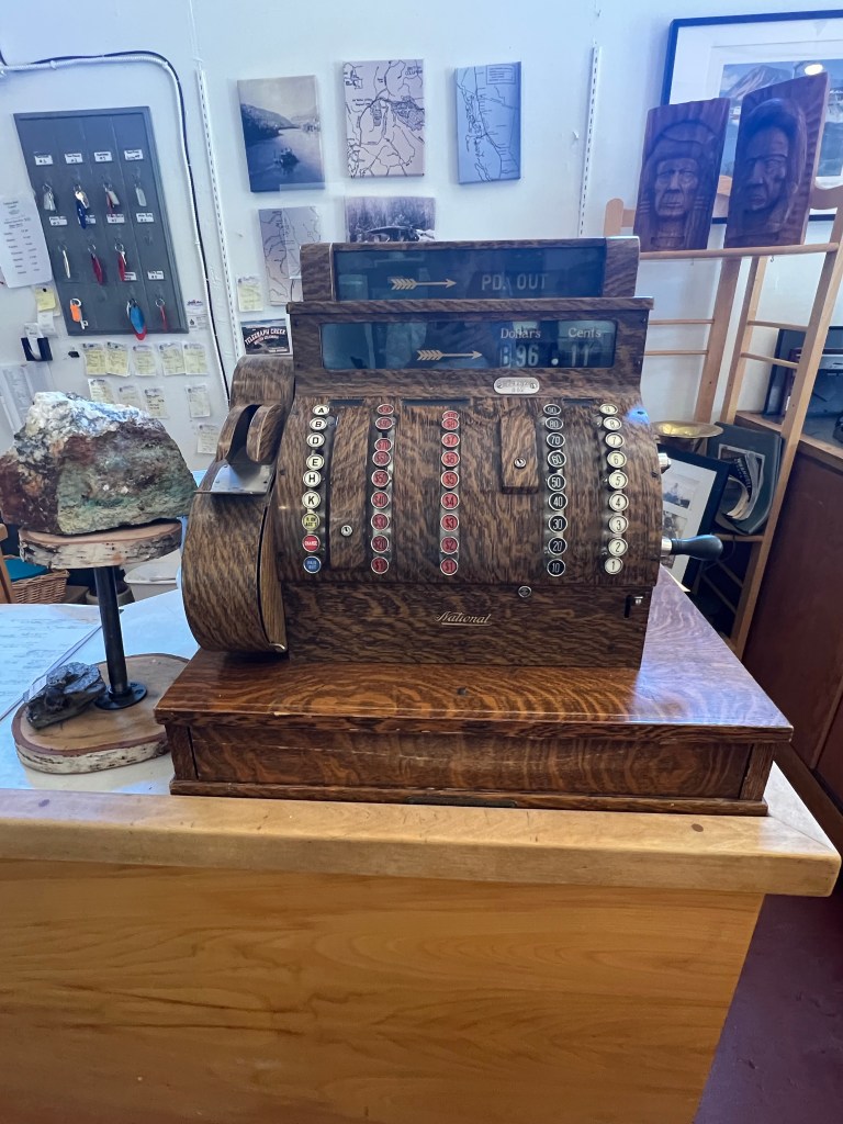
Stikine Riversong Lodge was originally the Hudson Bay Trading Company from its prime time as a gold mining community.
We met a canoeing group with 3 boats (6 young men and women) starting at Telegraph Creek for 11 day float (250 km) down the Stikine to Wrangell AK where the river flows into the bay. Then they take a 7 hr jet boat ride back up to Telegraph Creek where their vehicles are. This apparently is a popular canoe route since it’s flatter water but it does have alot of volume. Above this point is the Canyon that has plenty of rapids. She gets alot of business from camping groups. There are even guided group trips you can take for $9000 out of Whitehorse YT that use Alaskan Ferry from Wrangell to Skagway and shuttle back to Whitehorse. I think this young group has the right plan.
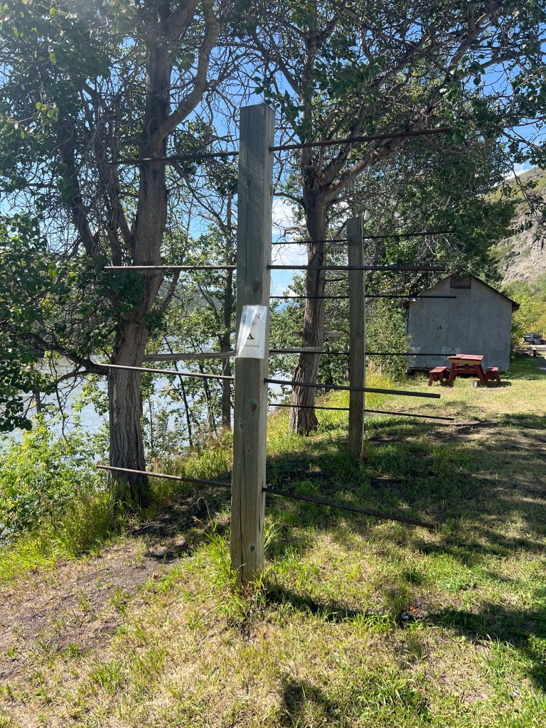
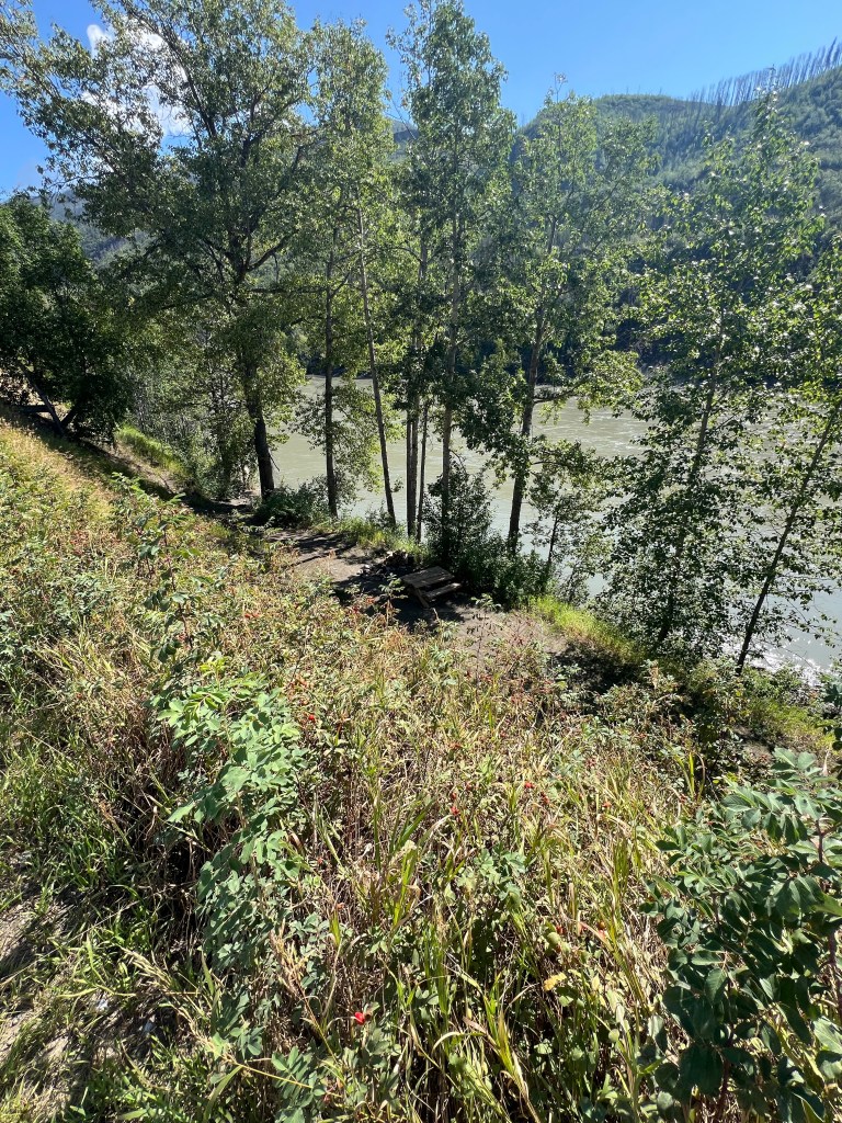
below on a trail
It is the only active business in this town. They have a nice menu for lunch/dinner. We decided to stay for a little homemade lunch…soup and sandwich. The employees were really friendly. The owner was busy checking the canoe squad into lodges for the night so we didn’t get a lot of attention but we didn’t need any.
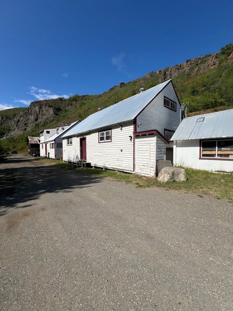
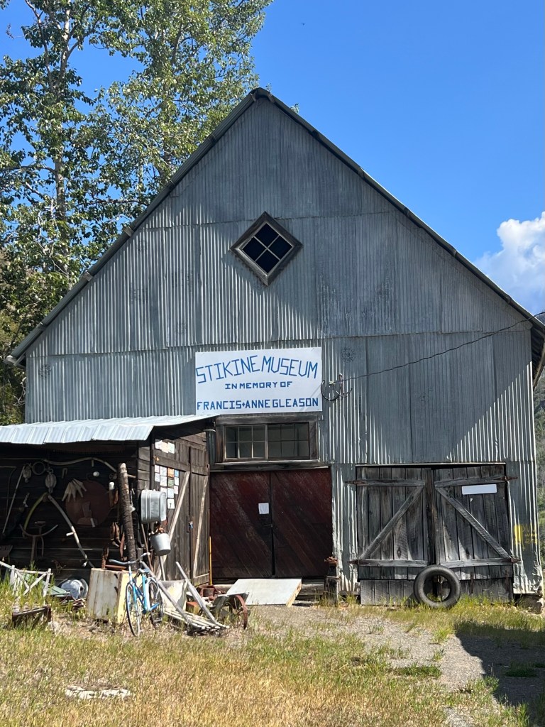
We poked around at the Museum that was closed. Donated by the Gleason’s. Next door was a house that said “The Gleason’s”. It looked habitated. There was an original Anglican Church that is still used on Sundays. Led by the Parish Priest. (That could change often!!) There were many other old dilapidated buildings still standing from the gold mining days.
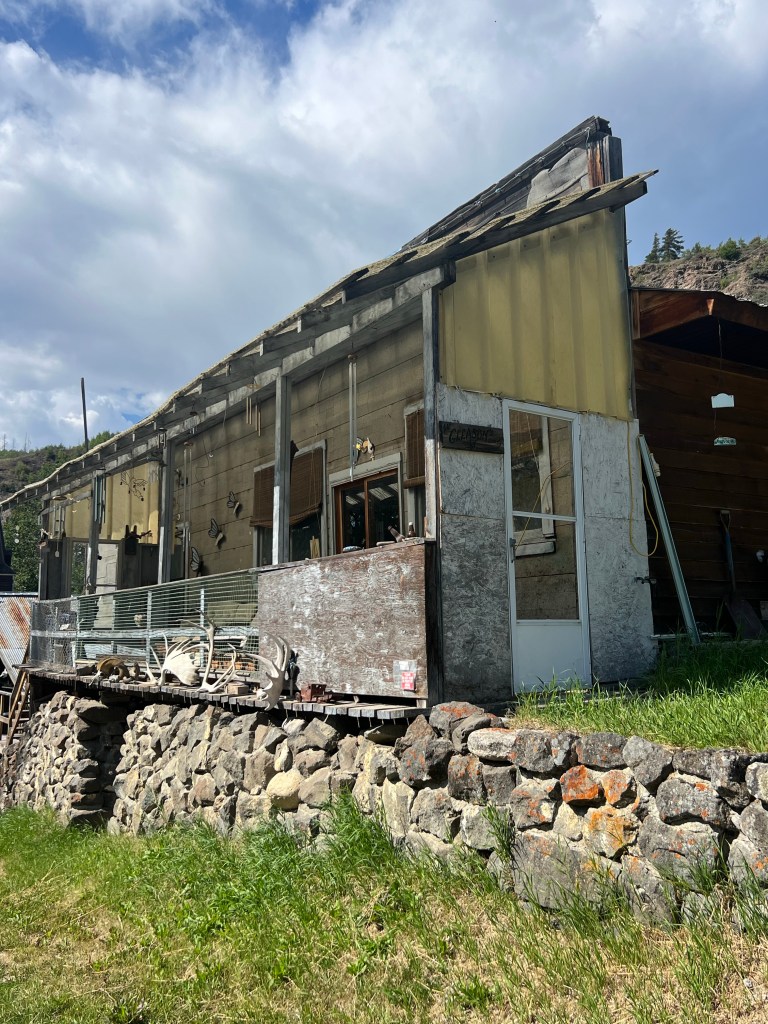
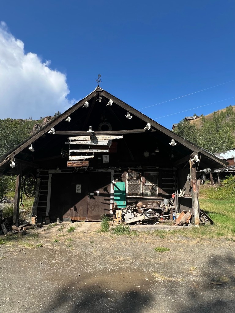
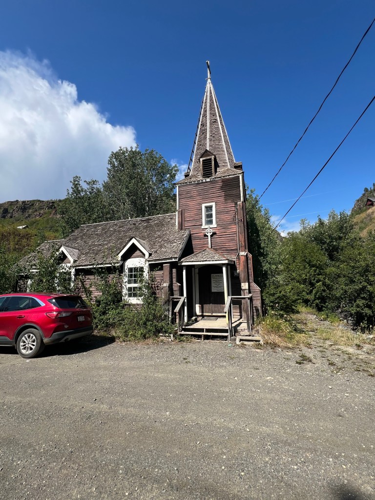
Maybe the Priest is there today?
By now the sun is shining bright and it’s hot… 79’F. We are ready to start back and see the rivers from the other direction and climb up the steep parts.
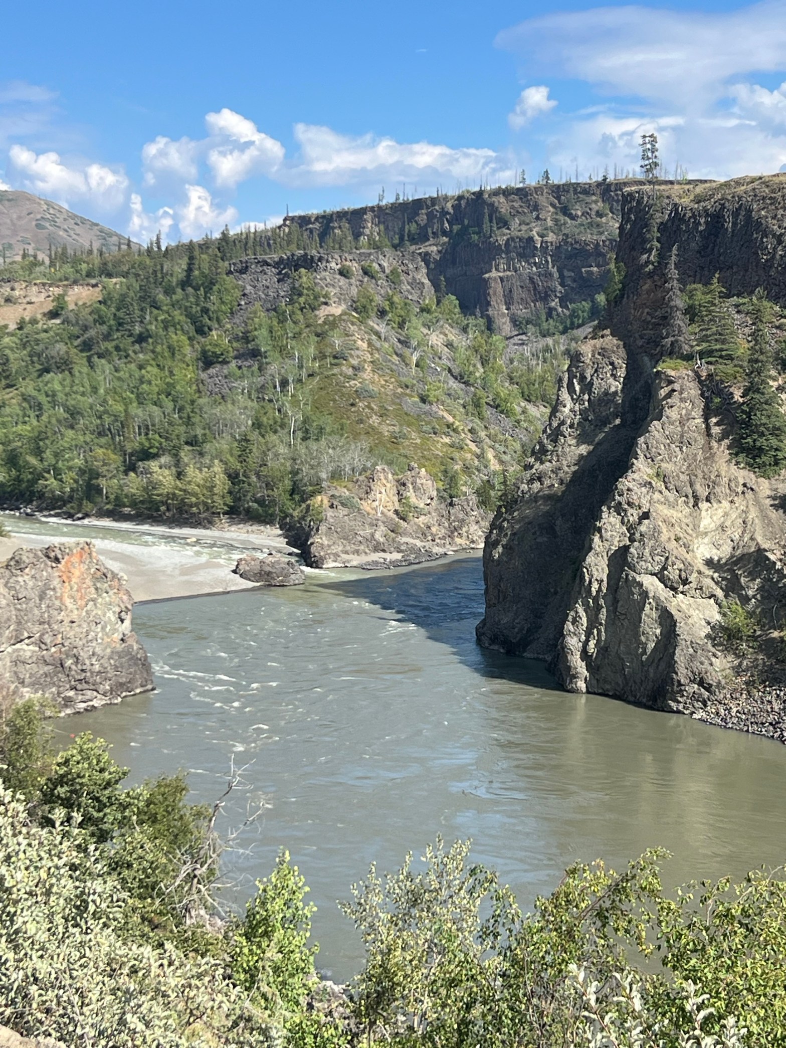
Going in reverse we get a better view of the mouth of the Tahltan River as it flows into the Stikine.
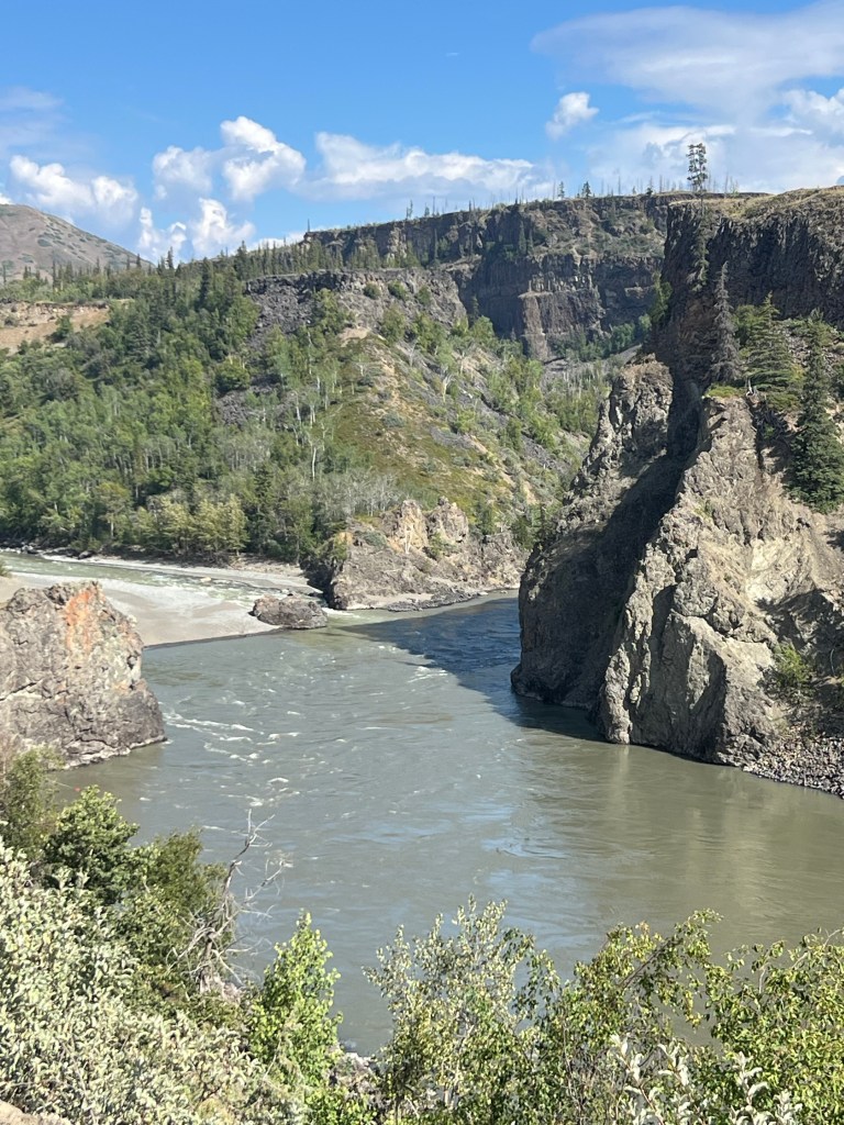
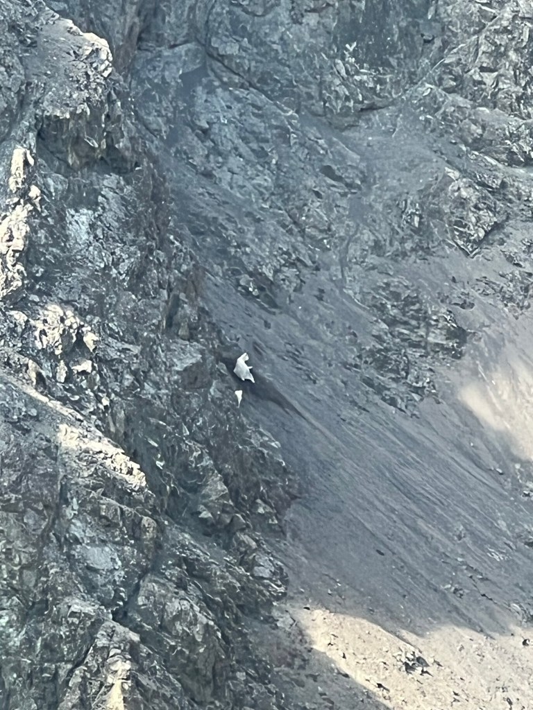
Jim spotted a couple of mountain goats in the lava rock. He was determined to find them somewhere today.
Next highlight on the return was more bears. Mama and two darling cubs.
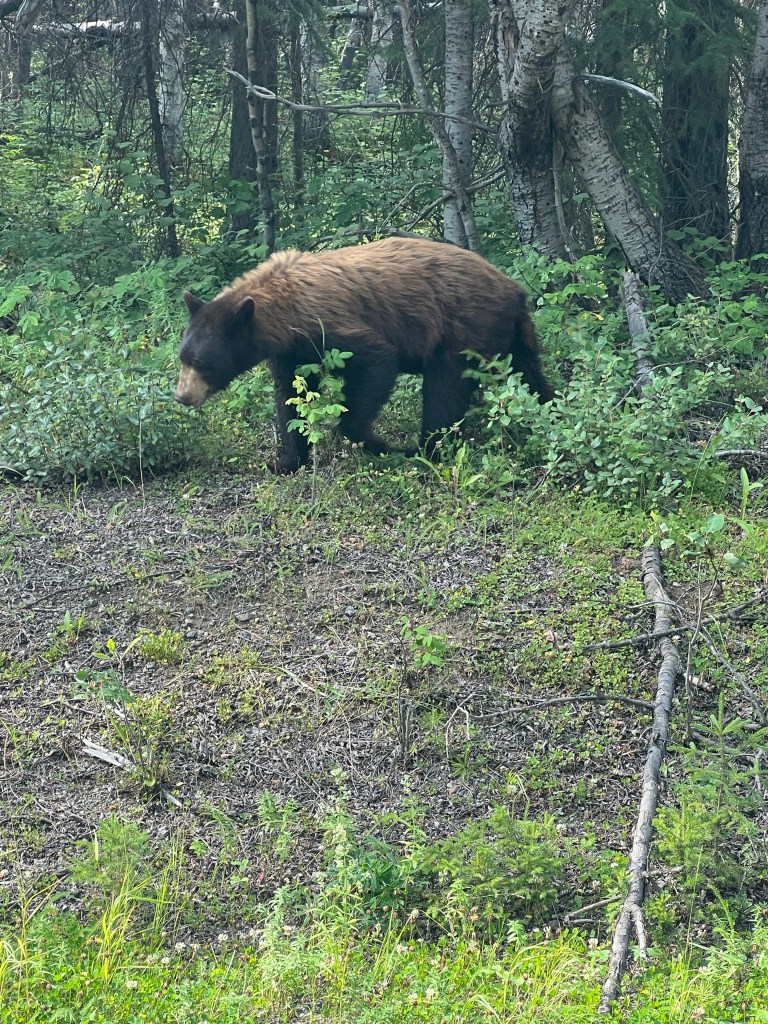
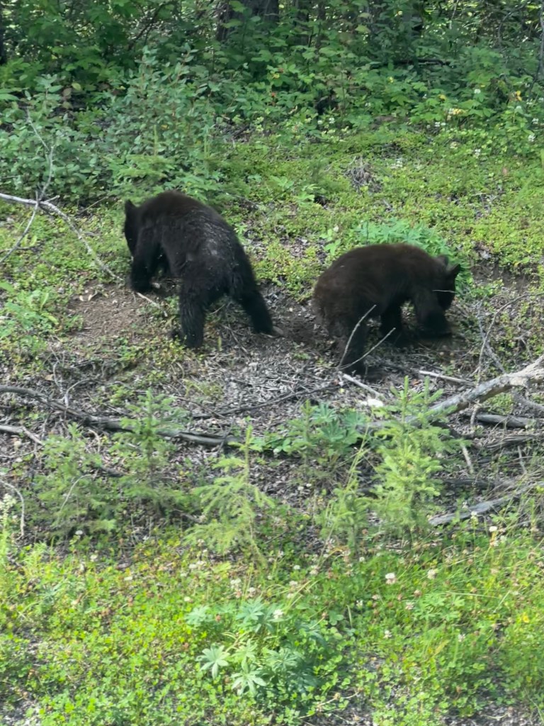
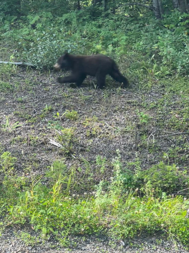
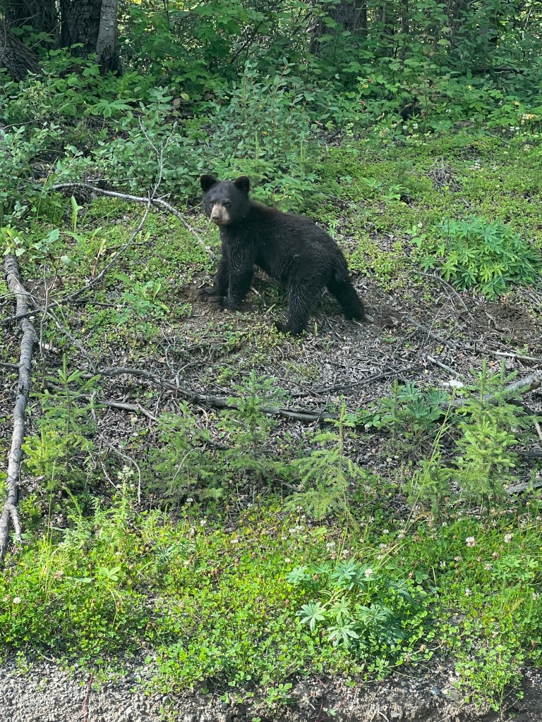
… I thin it is anyway
Power outage at the gas station. Back to Deese Lake to top off the gas tank. Power is down and several cars waiting to fill up. While we were looking for our next campsite the power came back and we got our gas and we’re ready to go tomorrow.
Another pretty campsite. Now we’re headed 35 miles south to another recreation site with free campsites. Morchuea Recreation Site. We passsd 3 cyclists still pedaling their way to their destination. It’s about 6pm as we pass them. One of the three.. a solo female… ends up camping across from us tonight. She climbed some big hills today. It was 9:30pm when she arrived. Still daylight… barely. Our rainstorm was hail on her before she arrived. Ouch! Bet she was happy to be done for the day.
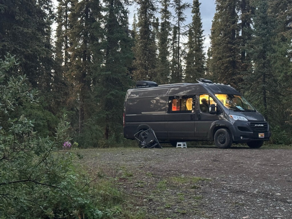

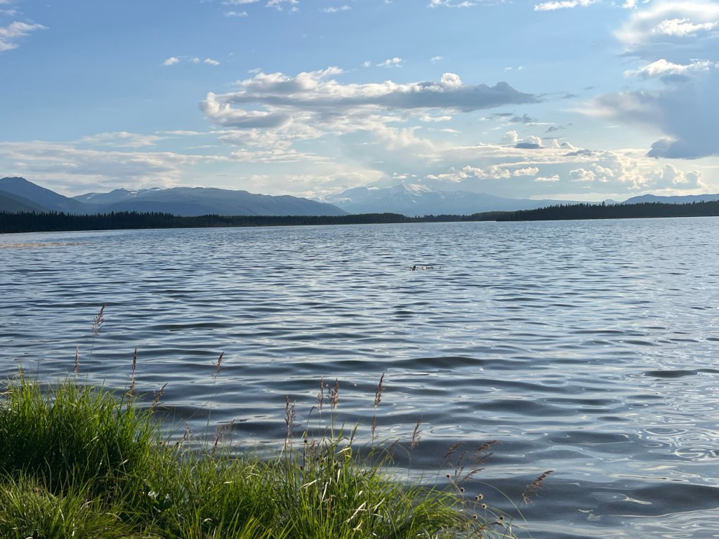
Morchuea Recreation site.
Tomorrow we are taking another spur road to Stewart BC and Hyder AK. It supposed to be a gorgeous drive through the mountains with glaciers. Both of these towns are on a long seawater canal leading out to Pacific Ocean bays. Hyder has a bear viewing platform on a creek where salmon spawn. We have tickets purchased through Rec.gov. It’s a very remote area! Can’t wait.
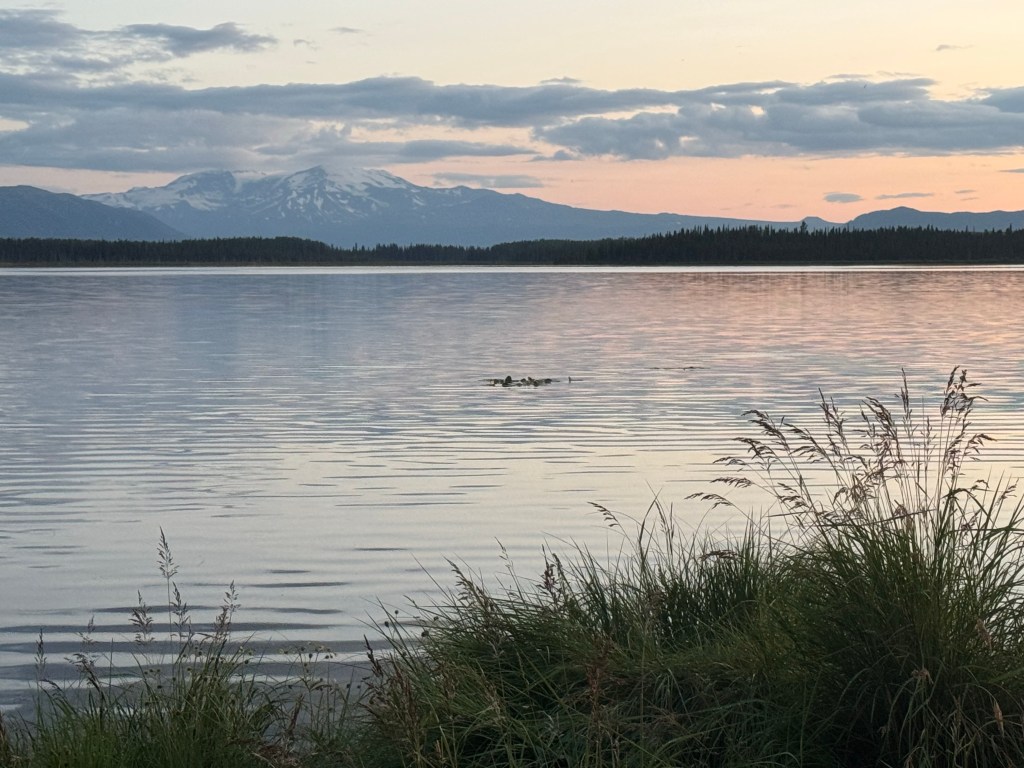
 cinnicrew